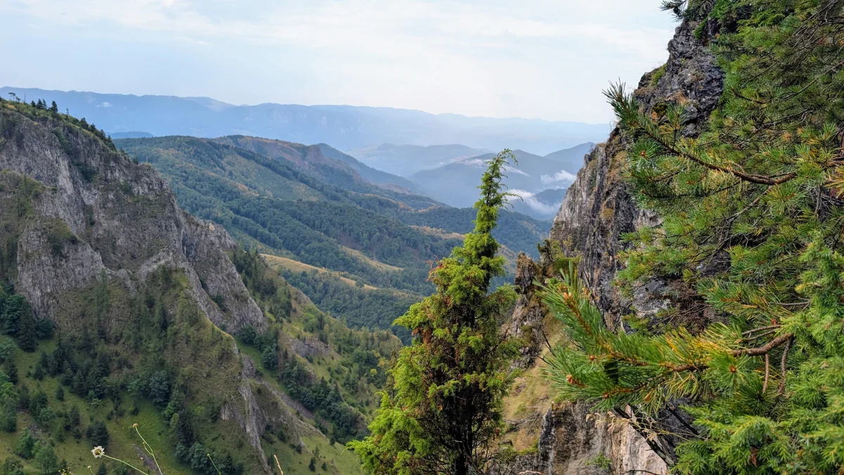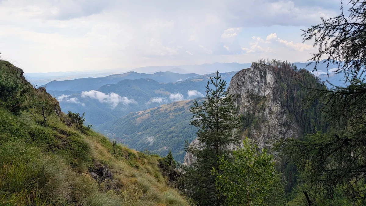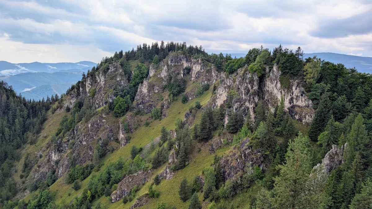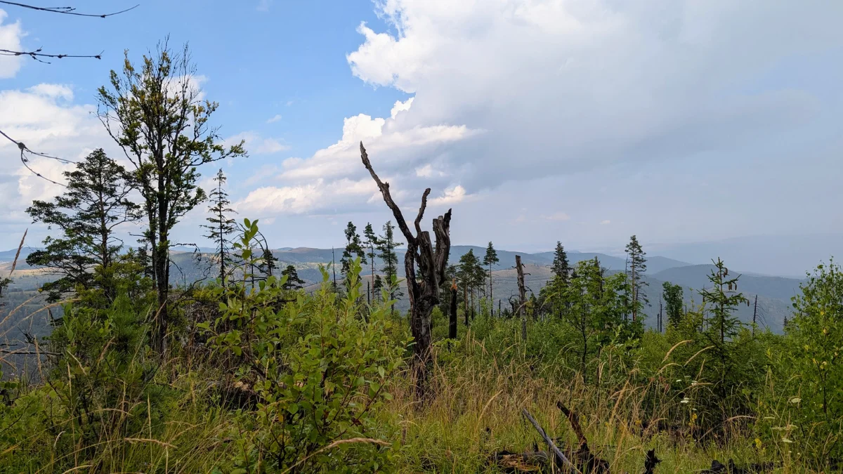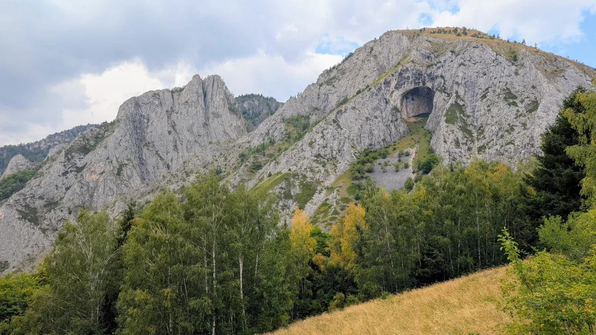
Part of the Carpații Orientali (the Eastern Carpathians), Carpații Maramureșului și Bucovinei, Muntii Rodnei
TL;DR
A 3-day, ~50 km point-to-point traverse through Muntii Rodnei (Eastern Carpathians), starting and ending in Borsa, crossing Vf. Pietrosul (2303 m) and Vf. Galatului (2048 m), with wild camping along the way and a rhododendron bloom worth timing your hike around in June.
Trail Facts
| Trail type | Point-to-point (loops back to Borsa via road on day 3) |
| Distance | 50.14 km total |
| Duration | 3 days, 2 nights |
| Elevation gain | ~2,783 m ascent / ~2,749 m descent |
| Difficulty | Moderate to hard (long climbs, high altitude, some rocky sections) |
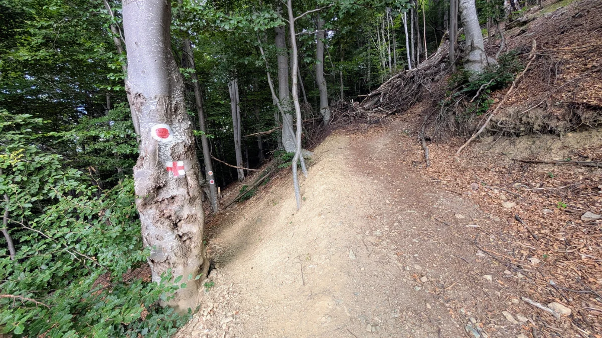
| Trail marking | Blue (day 1 & part of day 2) → Red (day 2) → Blue (Taul Stiol detour) |
| Highest point | Vf. Pietrosul, 2303 m |
| Start / End | Borsa (parking near the Rehabilitation Hospital, Sanzienelor Street) |
| Camping | Wild camping: Tarnita La Cruce / Taul Rebra (night 1), Stana Runcul Stiolului (night 2) |
| Water sources | Spring at Refugiul La Carti; spring near the plateau before Refugiul din Saua Gargalau; close to Stana Runcului Stiol |
| Best time to hike | June, for rhododendron bloom (snow patches still possible at altitude) |
| Hiked in | 19 – 21 June 2026 |
Day-by-Day Plan
| Day | Route | Distance | Ascent | Descent |
|---|---|---|---|---|
| 1 | Borsa → Lacul Iezer → Vf Pietrosul → Tarnita La Cruce → Refugiul La Carti | 17.68 km | 1,874 m | 692 m |
| 2 | Refugiul La Carti → Lacul Cailor → Vf Gargalau → Taul Stiol → Cascada Stiol → Cascada Cailor → Cabana Stana Runcul Stiol | 19.88 km | 902 m | 1,334 m |
| 3 | Cabana Stana Runcul Stiol → Borsa | 12.58 km | 7 m | 723 m |
GPX files:
- Day 1: Borsa – Lacul Iezer – Vf Pietrosul – Refugiul La Carti
- Day 2: Refugiul La Carti – Cascada Cailor – Cabana Stana Runcul Stiol
- Day 3: Cabana Stana Runcul Stiol – Borsa
These GPX tracks are close to our route but not an exact match to what we hiked
This was a 3 day hike.
First day was supposed to be Borsa – Lacul Iezer – Vf Pietrosul – Refugiul La Carti (we camped earlier as it got pretty late in the day, since we had a late start from our home city).)
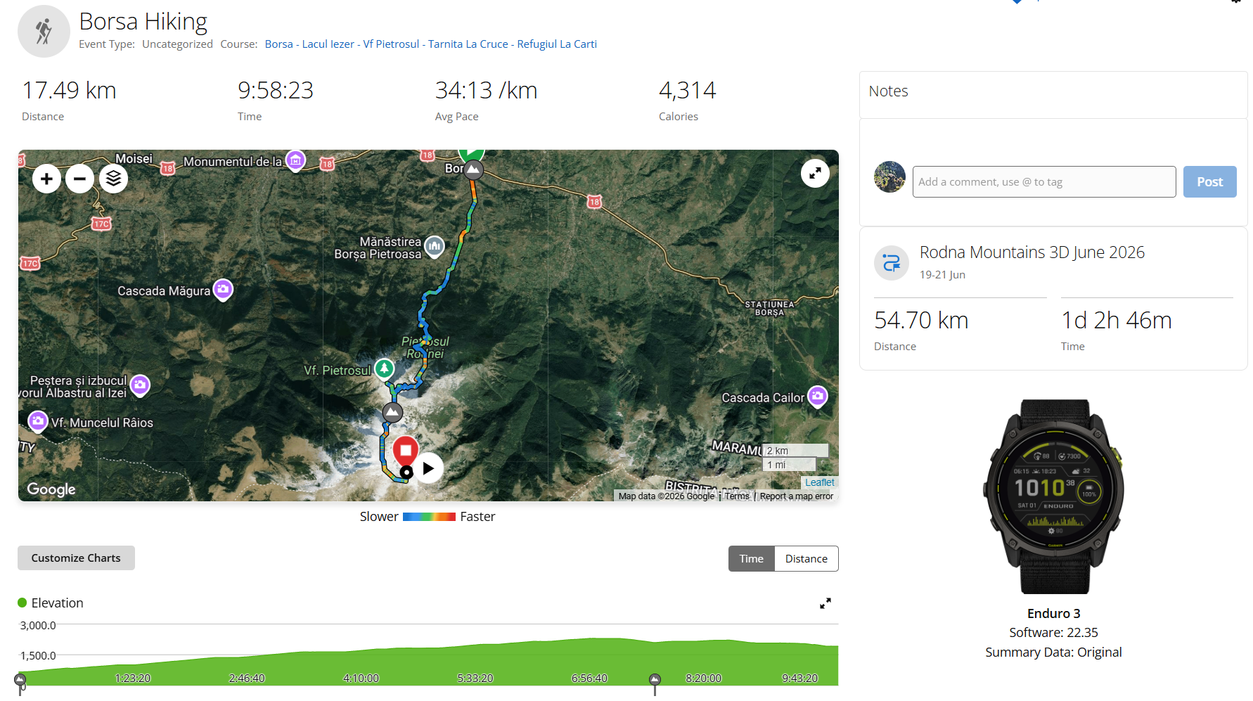
The second day: Camping site – Refugiul La Carti – Taul Stiol – Stana Runcul Stiolului.
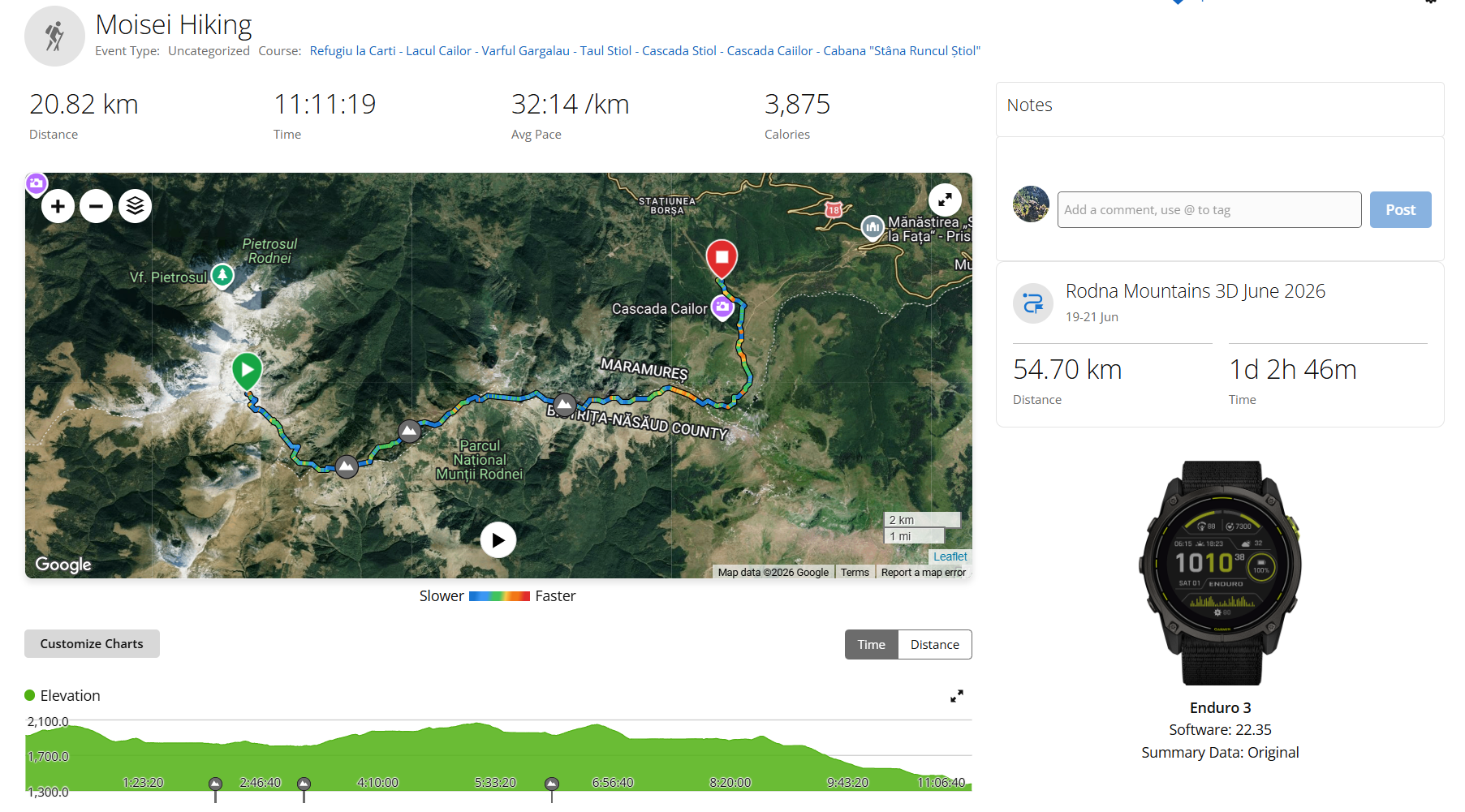
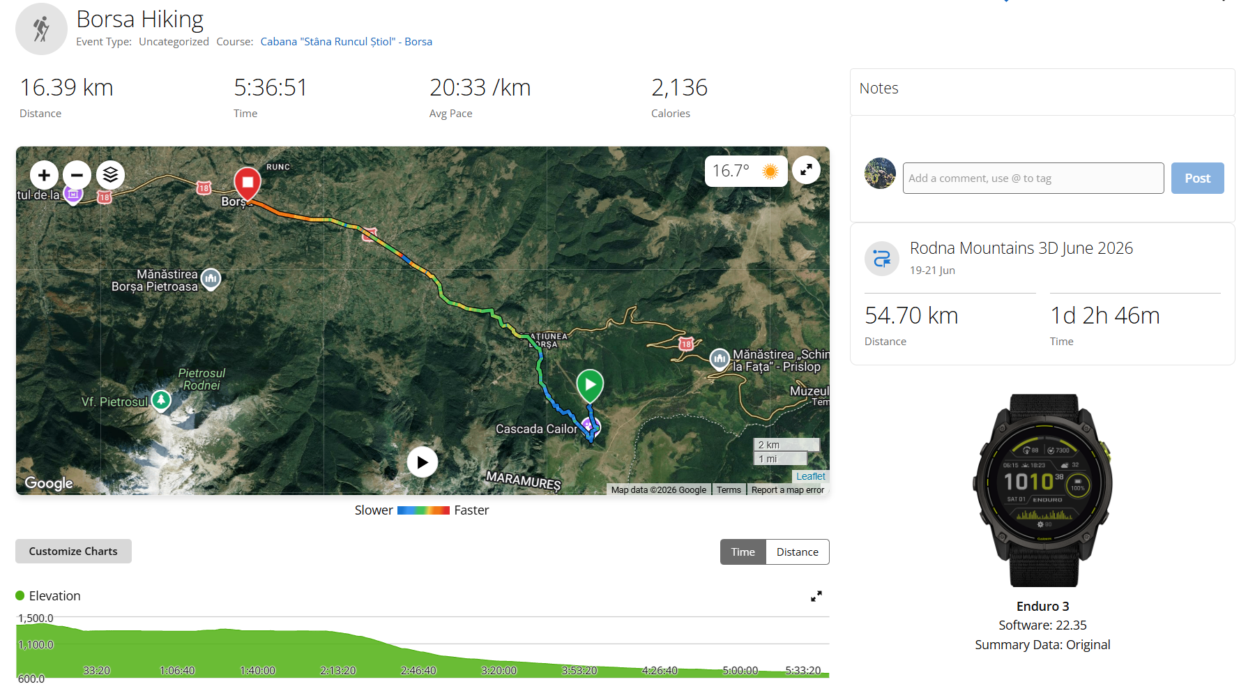
The third day: Stana Runcul Stiolului – Cascada Cailor – Statiunea Borsa – Borsa.
Day one. We had left our home city a bit late in the day, so we got to the start of the trail only at about 12 pm. From how I made the GPX, we were supposed to hike for 9 hours with breaks until we arrived at Refugiul La Carti. We had our tent with us, so we knew that if we took longer than planned, we’d be fine, as long as we could find a good camping spot.
We parked the car close to the Rehabilitation Hospital Borsa, I think on Sanzienelor Street. If you’re using the hospital as a reference point, you’ll find parking on a parallel street.
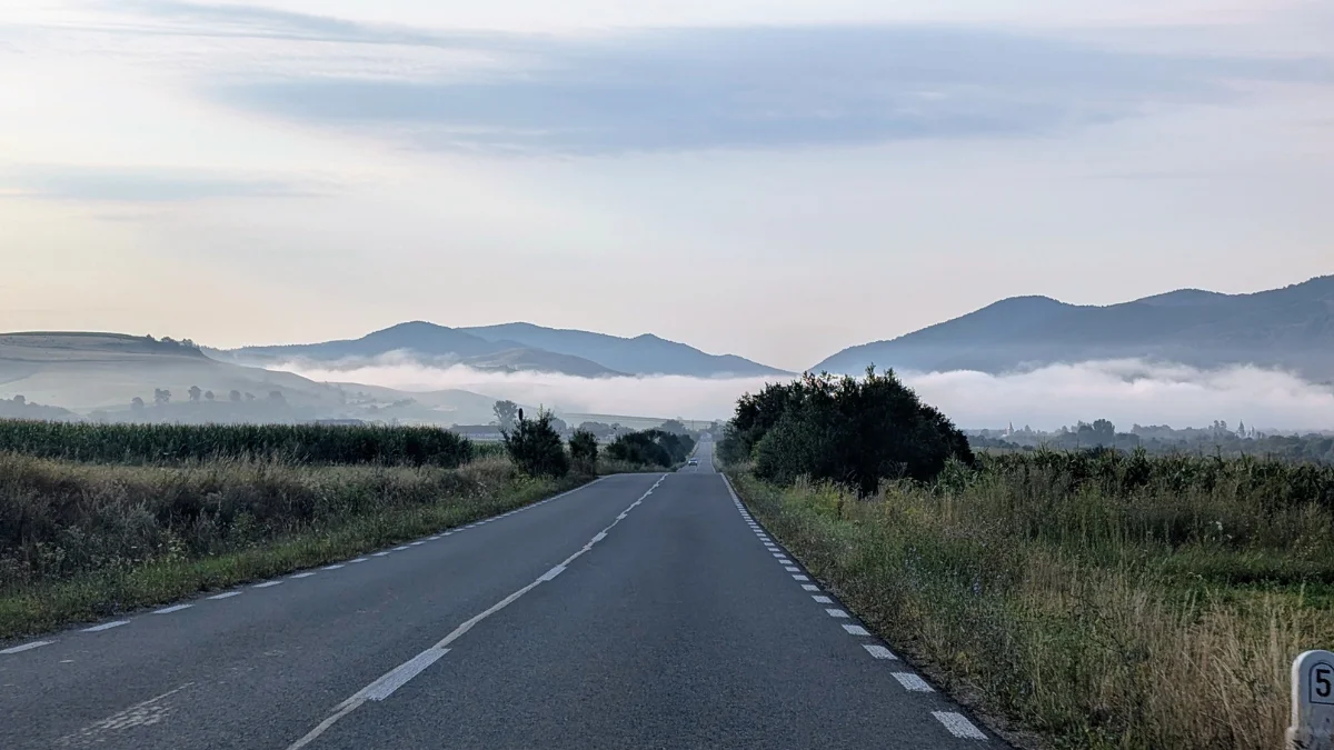
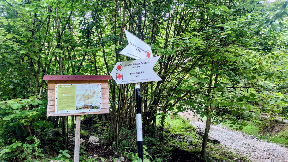
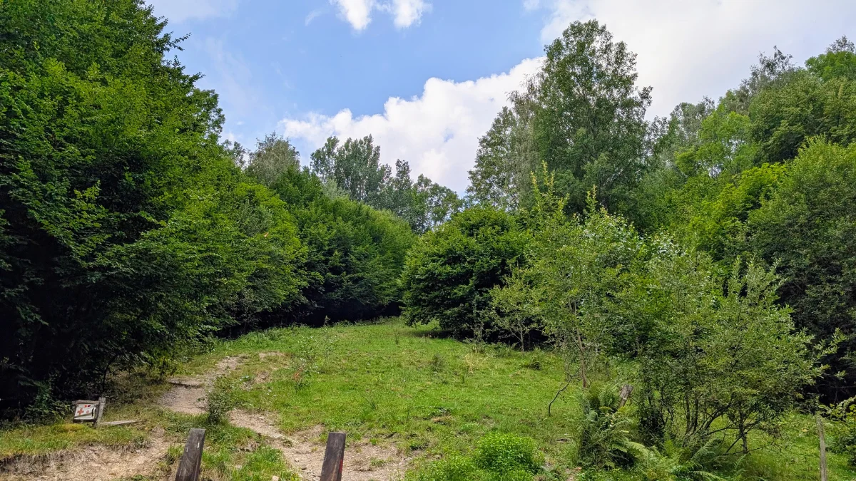
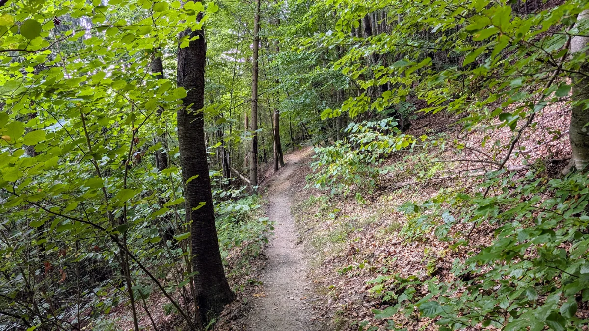
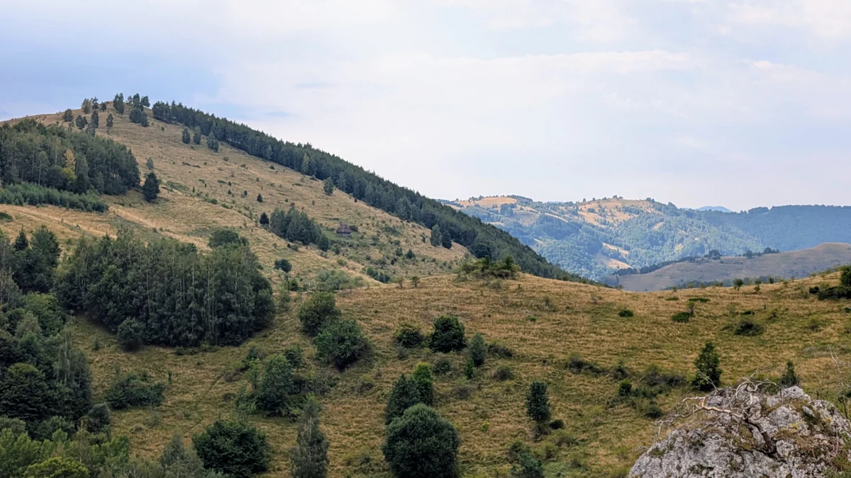
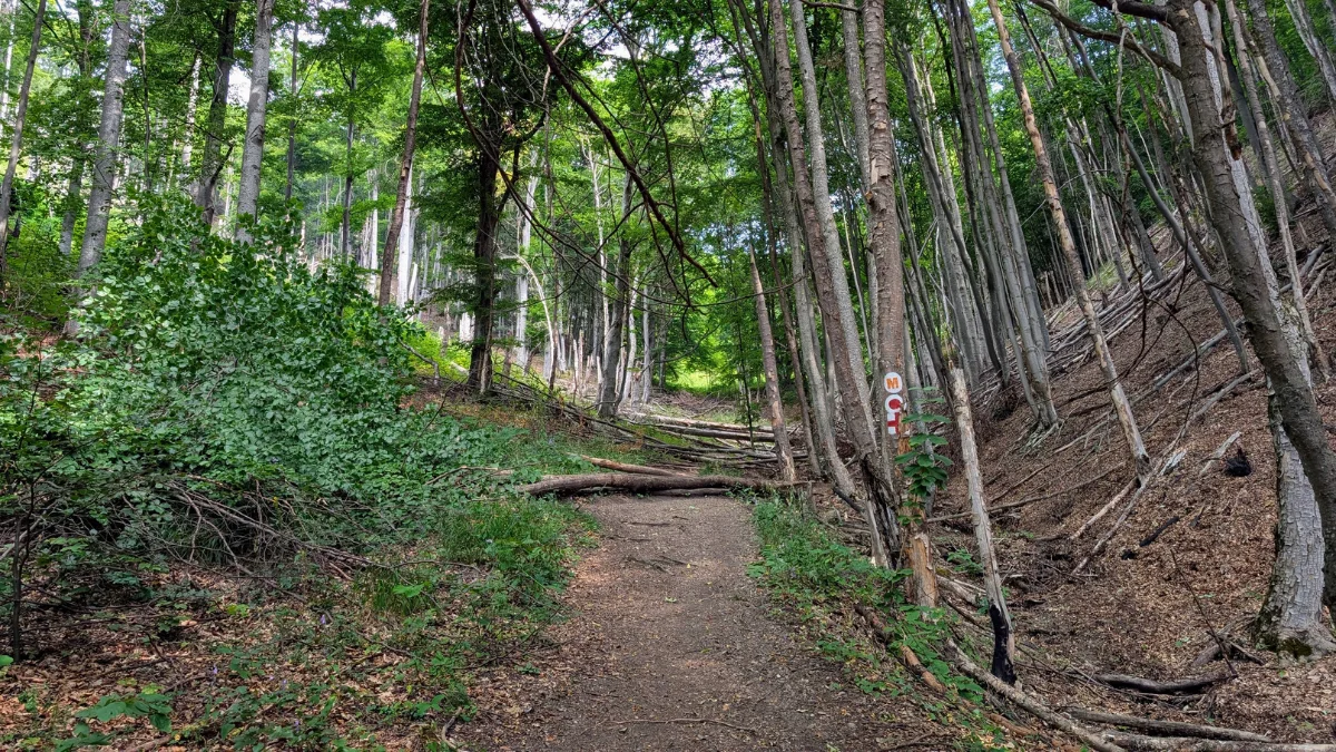
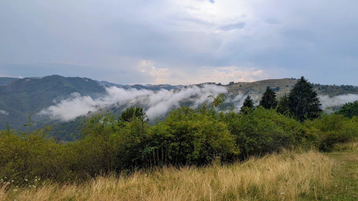
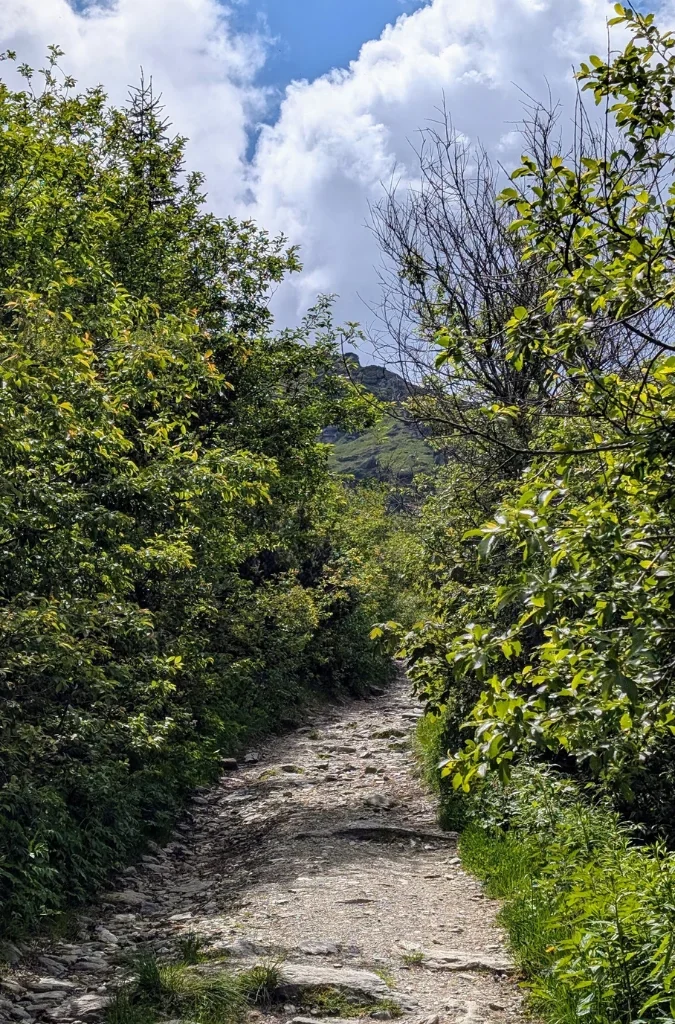
The start is on some streets in Borsa, and you can see the Rodnei Mountains in the distance. When we went, in June, it was still hot, so we were so happy when we were able to take some breaks in the shade once we started the trail section in the forest. We were following the blue trail markers.
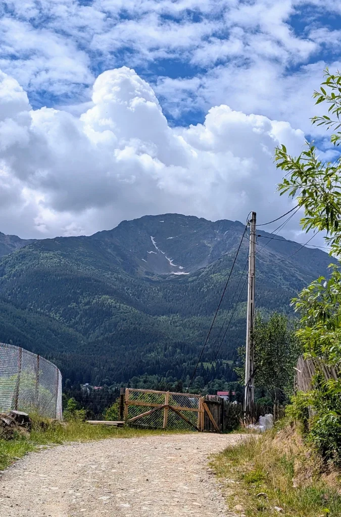
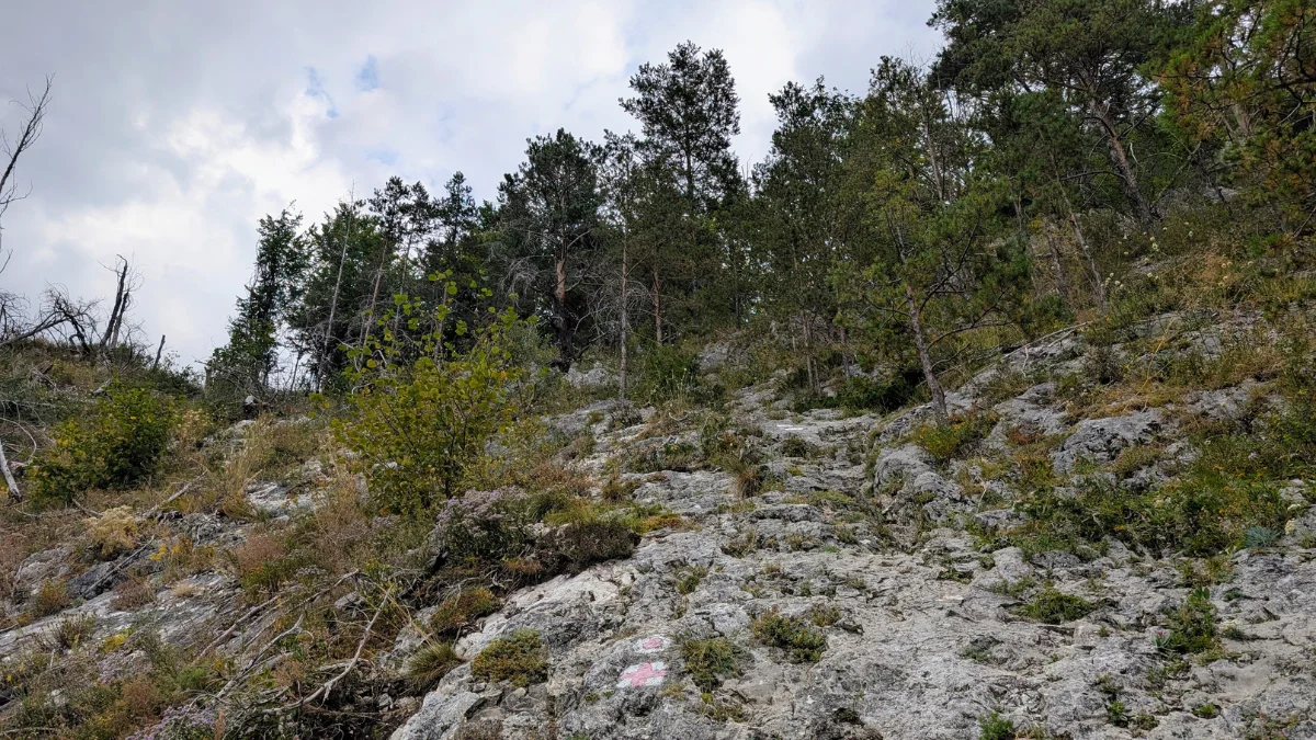
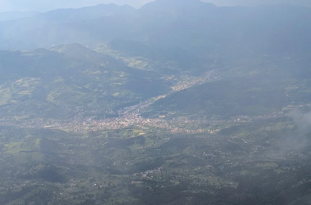
There is a lot of uphill all the way to the summit, Vf Pietrosul. From time to time we were able to look back and see the city below, and see how much we’d already hiked.

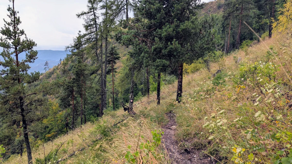
The trail is well maintained and isn’t hard in terms of the surface you’re walking on. It’s hard from the altitude difference point of view.
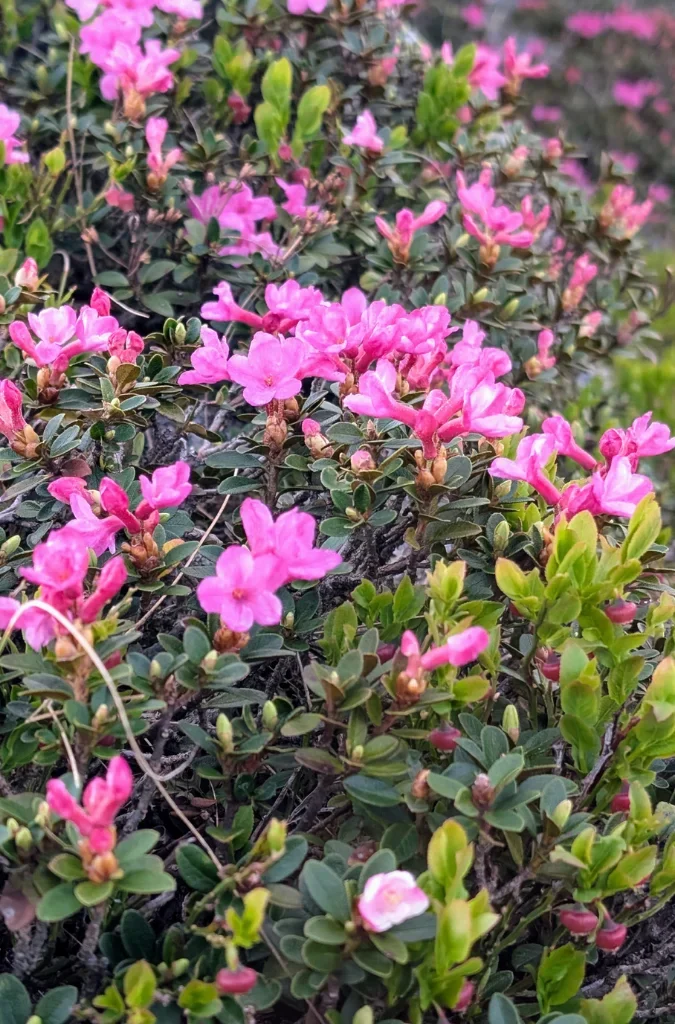
I knew that at this time of year you could see rhododendron in the Romanian mountains, but I didn’t know they’d be on our trail, at least not on this part of it.
At the place where we were supposed to pitch our tent on the second day, the woman running the accommodation invited us to join them on a nearby summit in search of the rhododendron. But since we weren’t going to reach the accommodation until late in the evening, we politely declined, hoping we’d still see the flowers ourselves once we got to that part of the trail.
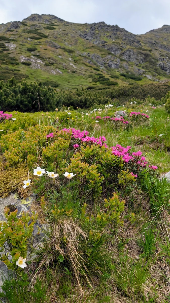
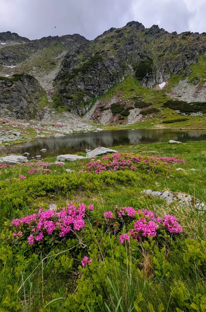
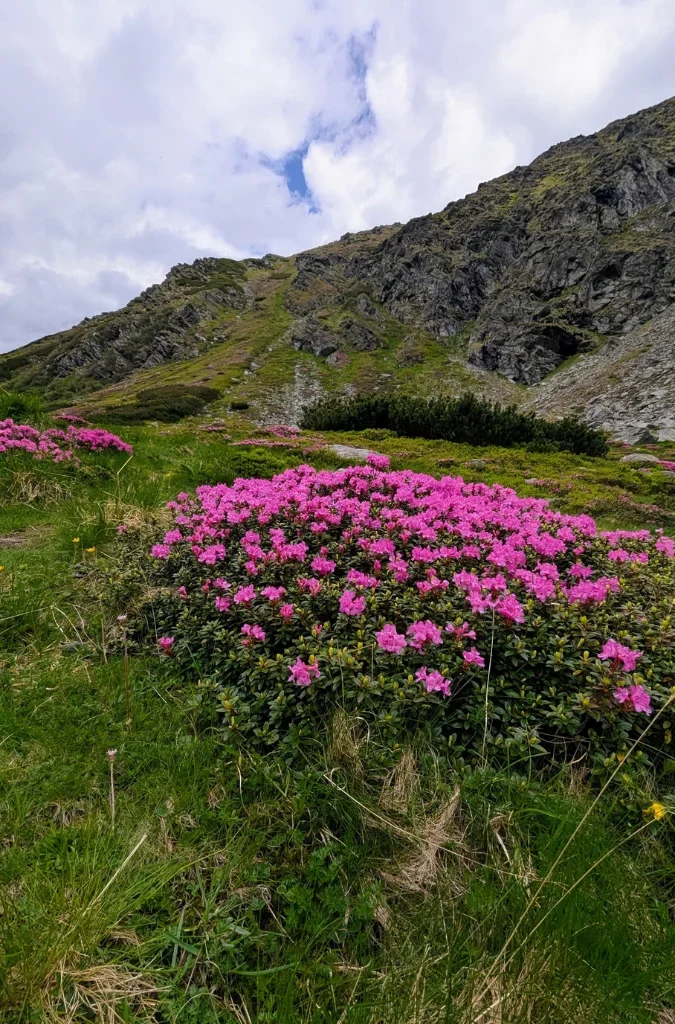
So you can imagine my excitement when we saw the rhododendron at Lake Iezer. It was absolutely amazing. I’ll admit I hadn’t researched the flower at all, so everything I knew came from videos I’d seen on Instagram. I was only about 90% sure this was the same flower so many people hike into the mountains to see in real life.
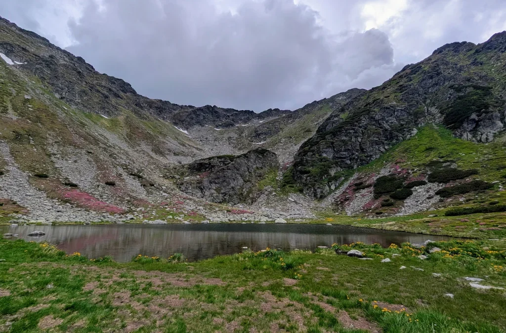
Lake Iezer is supposed to look like the map of Romania, and it actually does. Yes, when you’re close to the lake, at the bottom of it, so to speak, it’s not that easy to see the shape, but once you get to the summit, you can see it clearly. It’s a really cool experience to have.
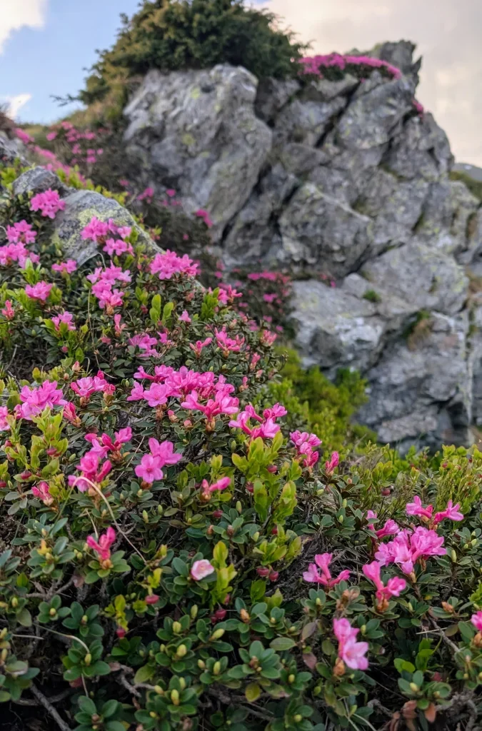
Besides the rhododendron, there were many other flowers that were so lovely.
Close to Lake Iezer, there’s a weather station as well as a camping area, so you can pitch a tent there if you want to.
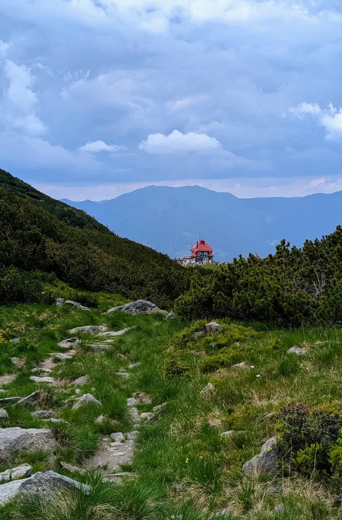
We arrived at Lake Iezer at about 4 pm.
We took a nice, longer break here to rest and enjoy the nature. The sky did turn a bit and got darker.

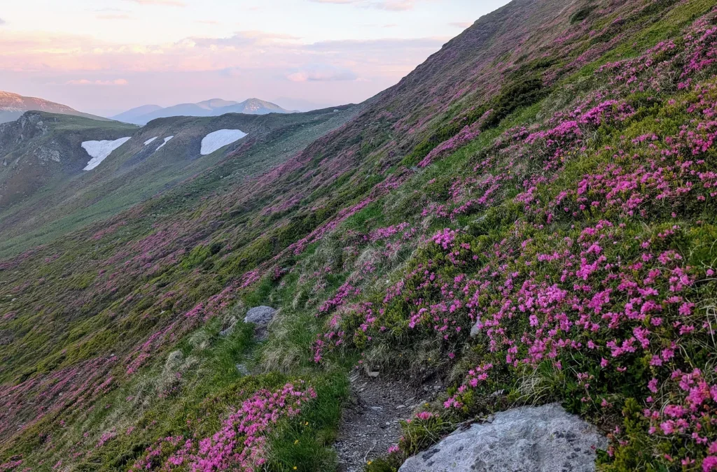
It was also interesting to see that there were still patches of snow high up in the mountains, even in June.
The summit isn’t difficult, since the trail is in good condition, but because of the altitude difference we did take breaks in order to rest and be able to keep going.
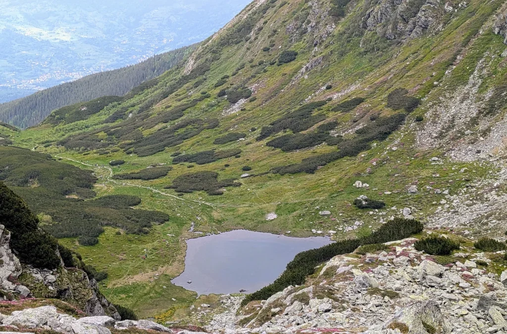
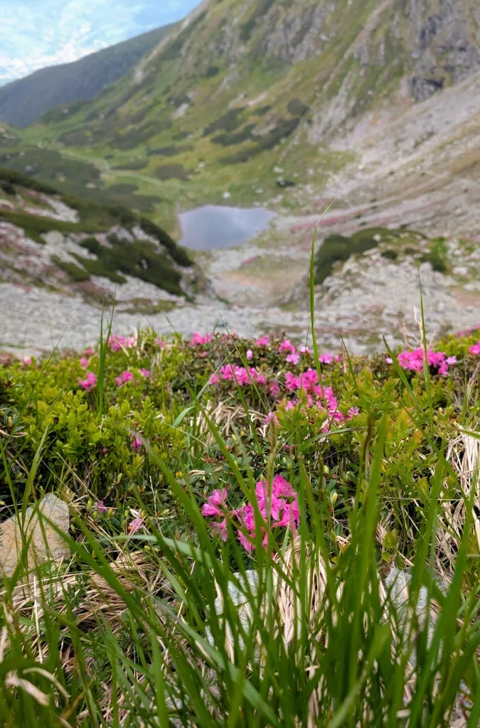
As we got closer to the summit, fog surrounded us and made everything more mystical and beautiful.
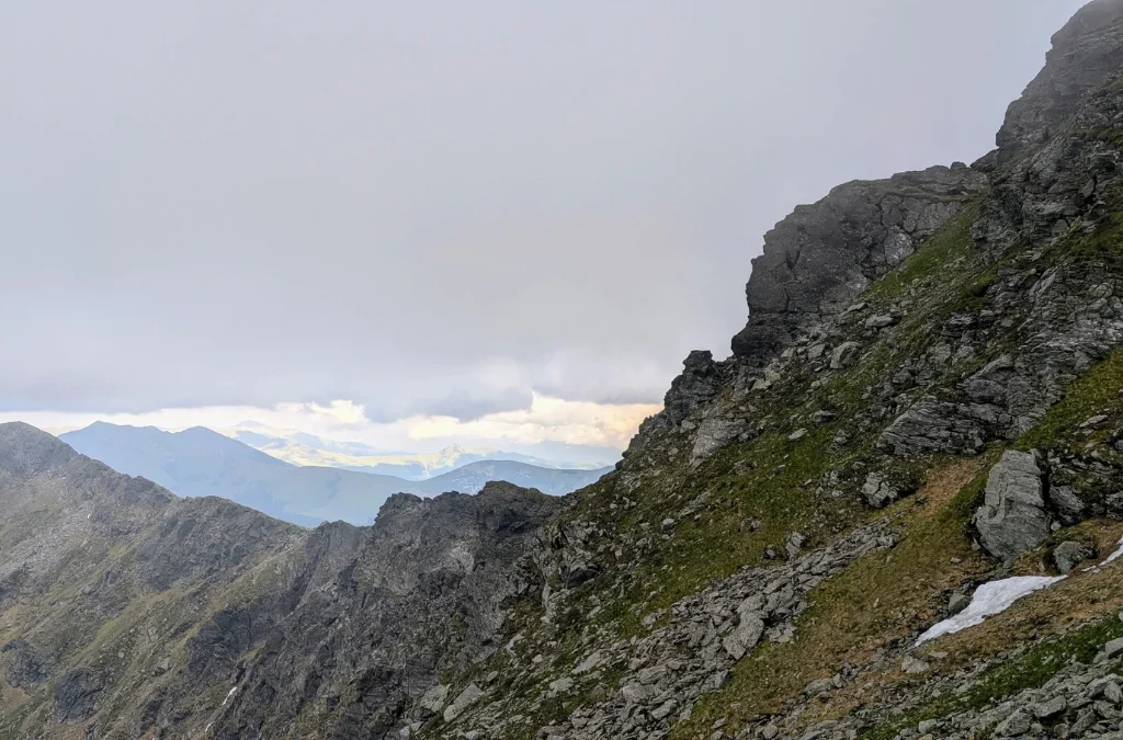
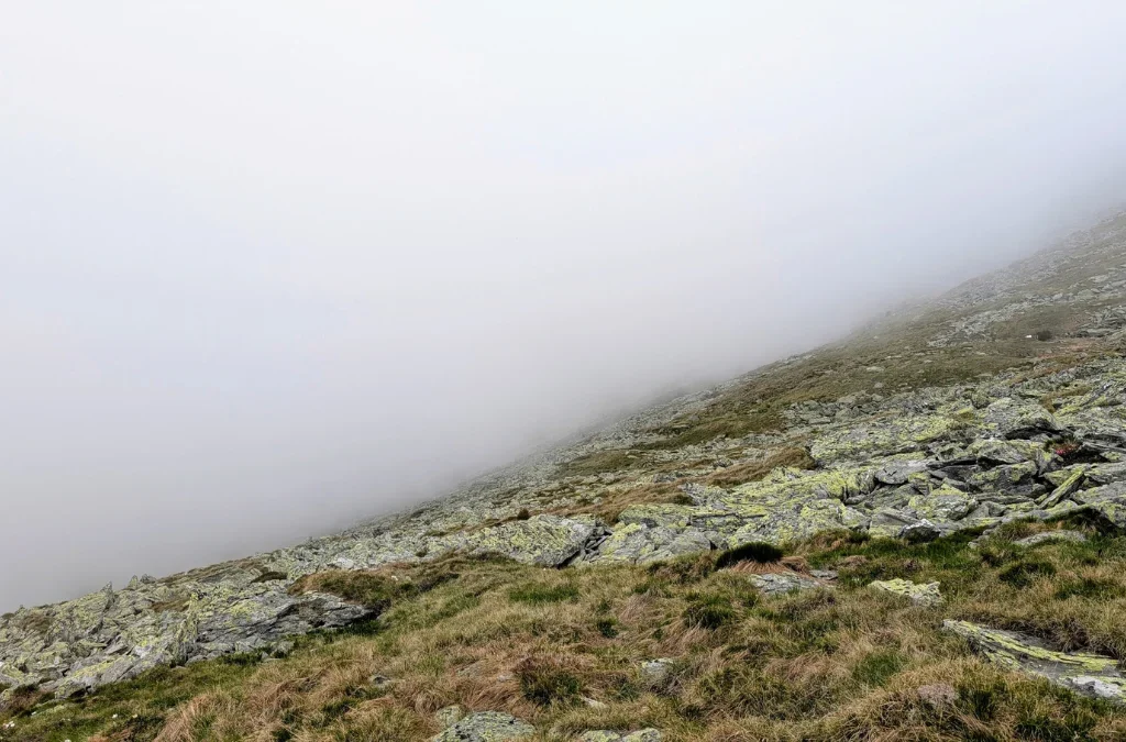
We arrived at the summit, Vf. Pietrosul, 2303 m, at about 6:30 pm. And the view was… well, foggy. But what was interesting was the little window in the clouds where we could see the hill in front of us, and sometimes even the city of Borsa down below. So interesting to see it in real life.
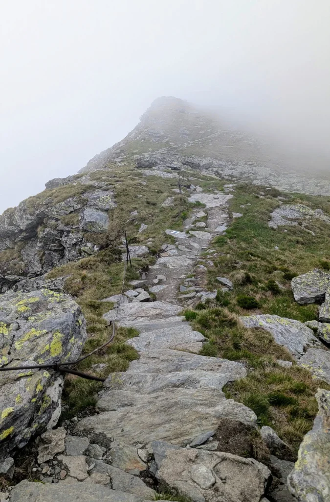
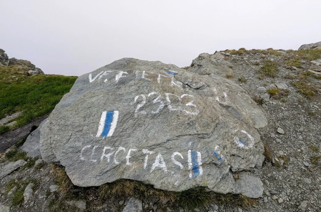

There is a structure up at the summit, kind of like a shelter, but unfortunately some people have used it as a trash can, so it’s in a pretty bad state.
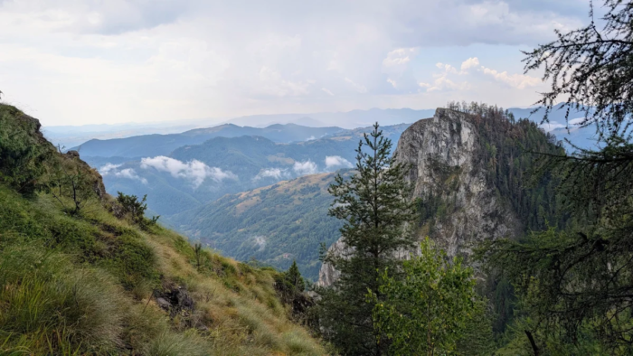
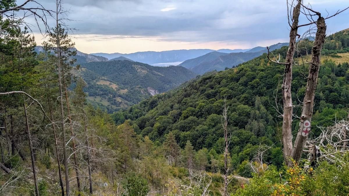
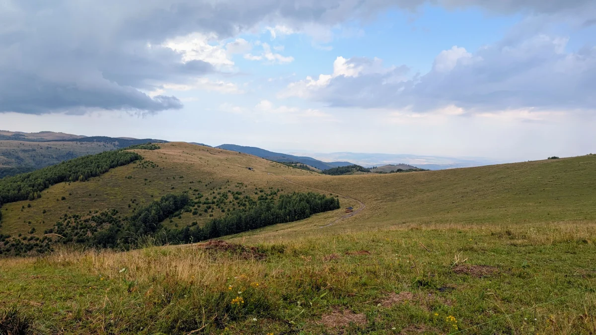
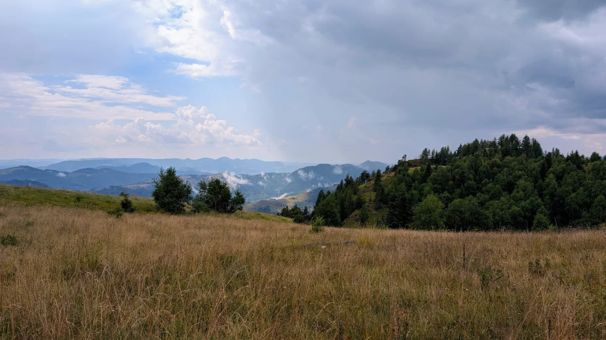
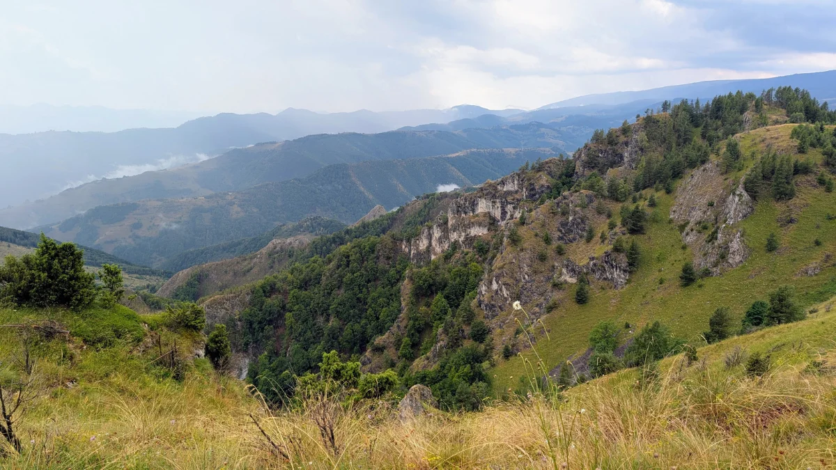
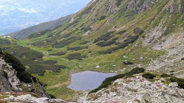
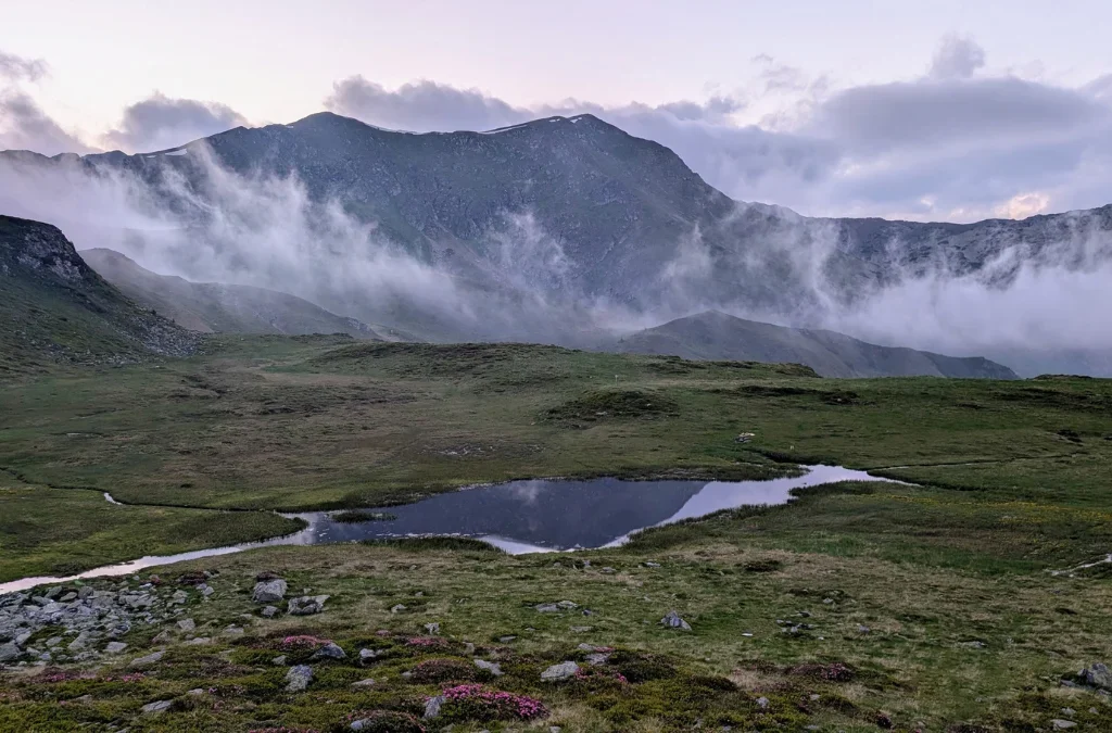
From here we were supposed to head to the shelter, Refugiul La Carti. On the way there, we saw so many amazing views, valleys and summits, little lakes, flowers, small patches of snow, absolutely amazing. And when the sun came out from behind the clouds again, the views got even more magical.
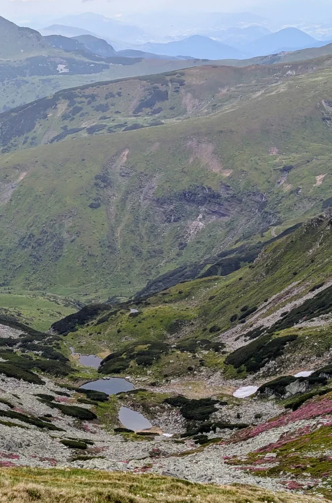
And I kept thinking, oh my god, how is this real? How can it be so beautiful? How can the mountains be so pink? Photos don’t do justice to how amazing this hike was. You just have to be there.
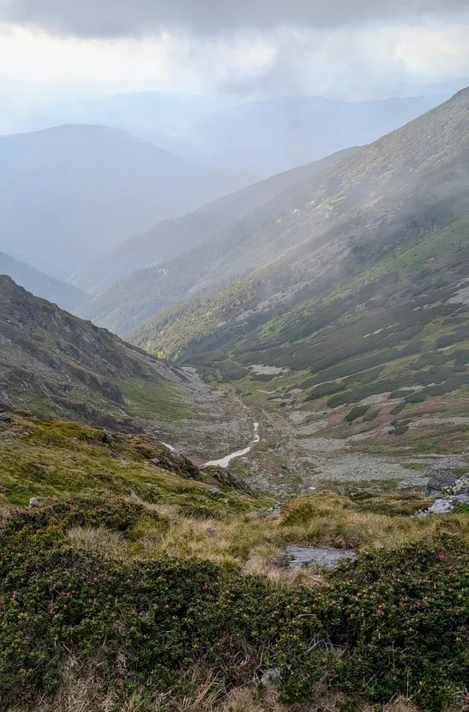

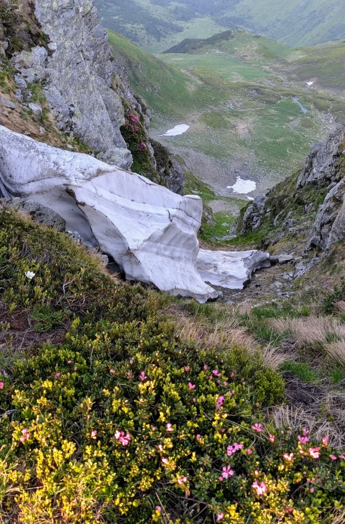
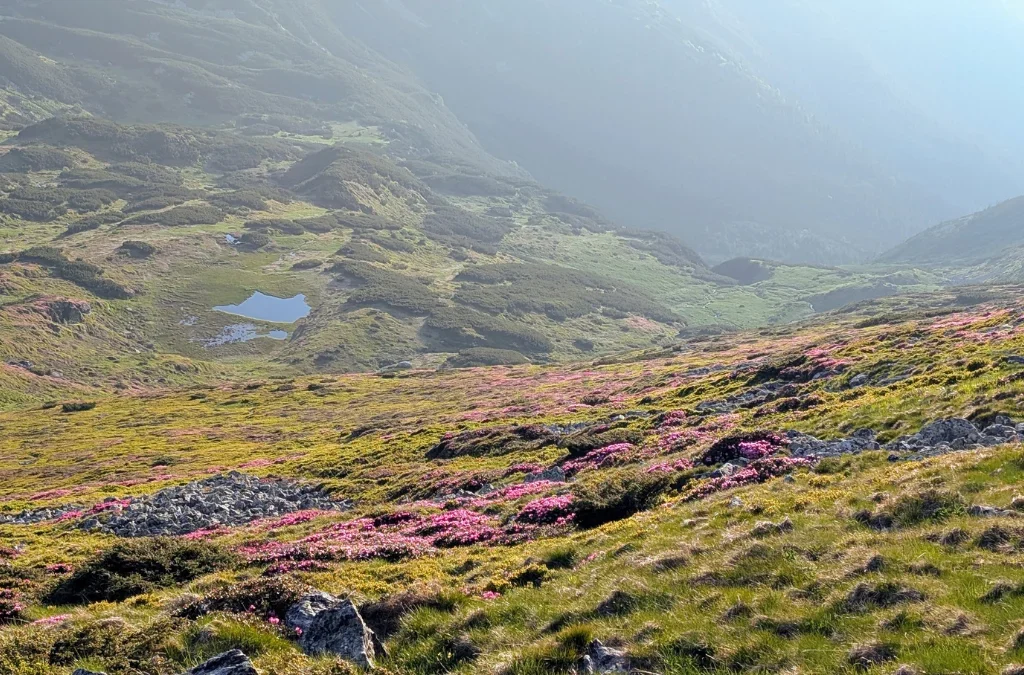
Because it was getting late, we decided to stop at the camping place called Tarnita La Cruce. When we got there, we realized we had to go a bit downhill to Taul Rebra, since that’s where the sign for the camping site actually was. That way we were also sheltered from the wind and had access to running water.
We got to the camping place at about 9:30 pm.
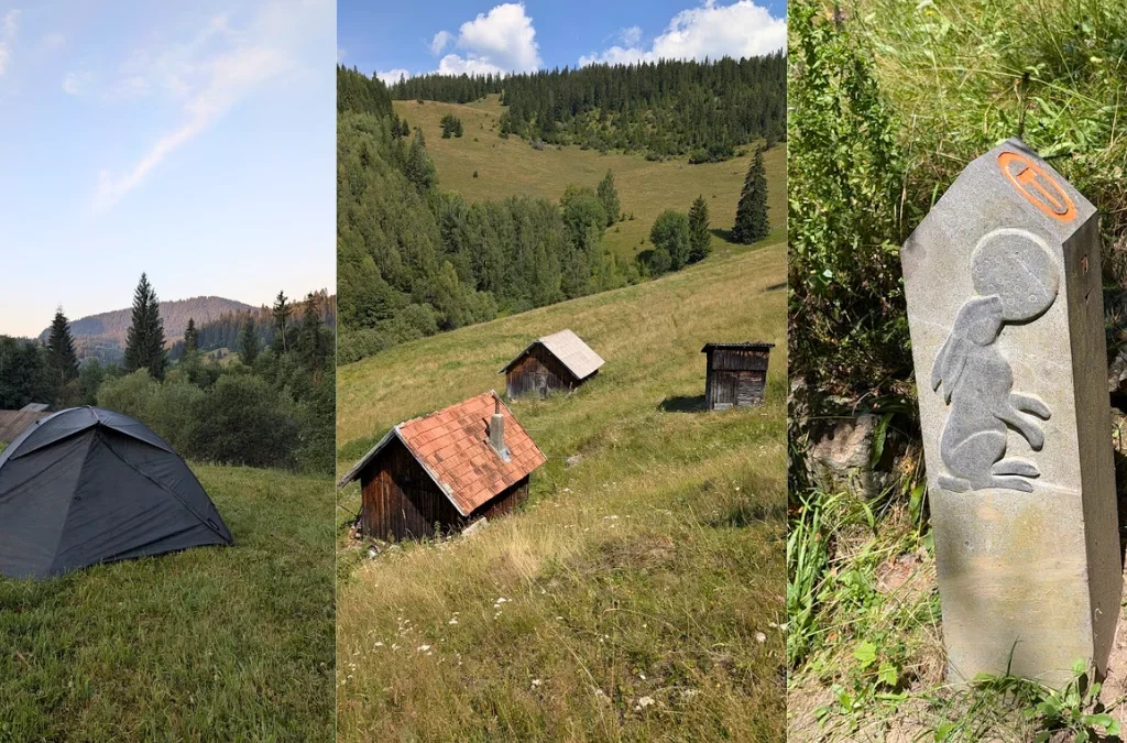
And this is where the first day ended for us. It was the first time we wild camped. Yes, this is technically a camping place, but until then we had either camped alongside a lot of other hikers, or in camping places where you pay an entrance fee and get access to all the facilities, with a fence and dogs guarding the property.
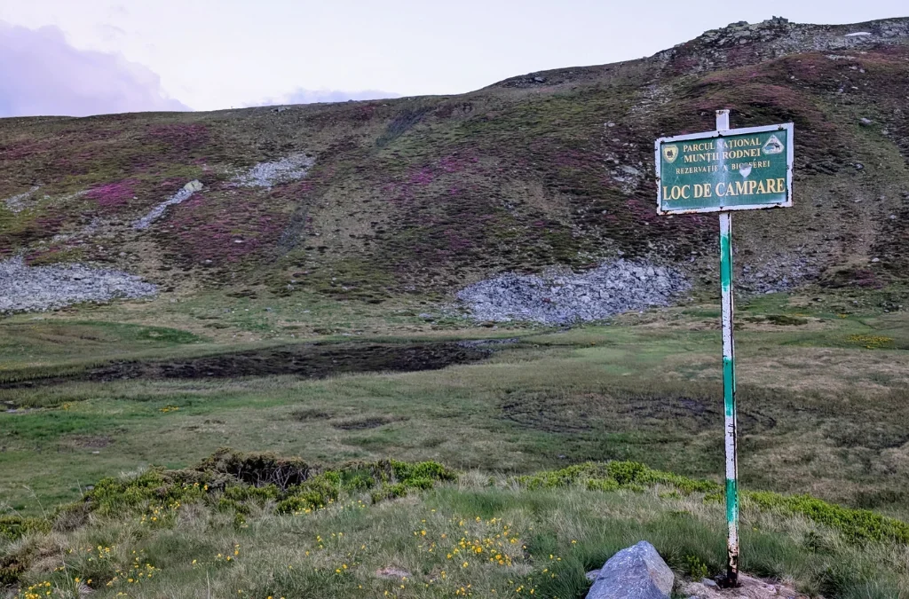
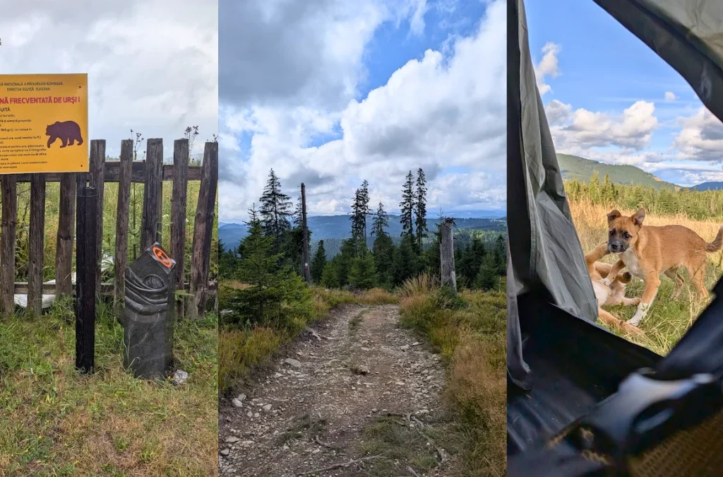
So I was a bit stressed about wild animals, and woke up a few times during the night, listening carefully, trying to figure out if what I was hearing was the wind or something else.
The morning was amazing. We got to see the sunrise a bit before 5 am, had a nice breakfast, rested a bit more, and were ready to leave our camping spot at about 9 am.
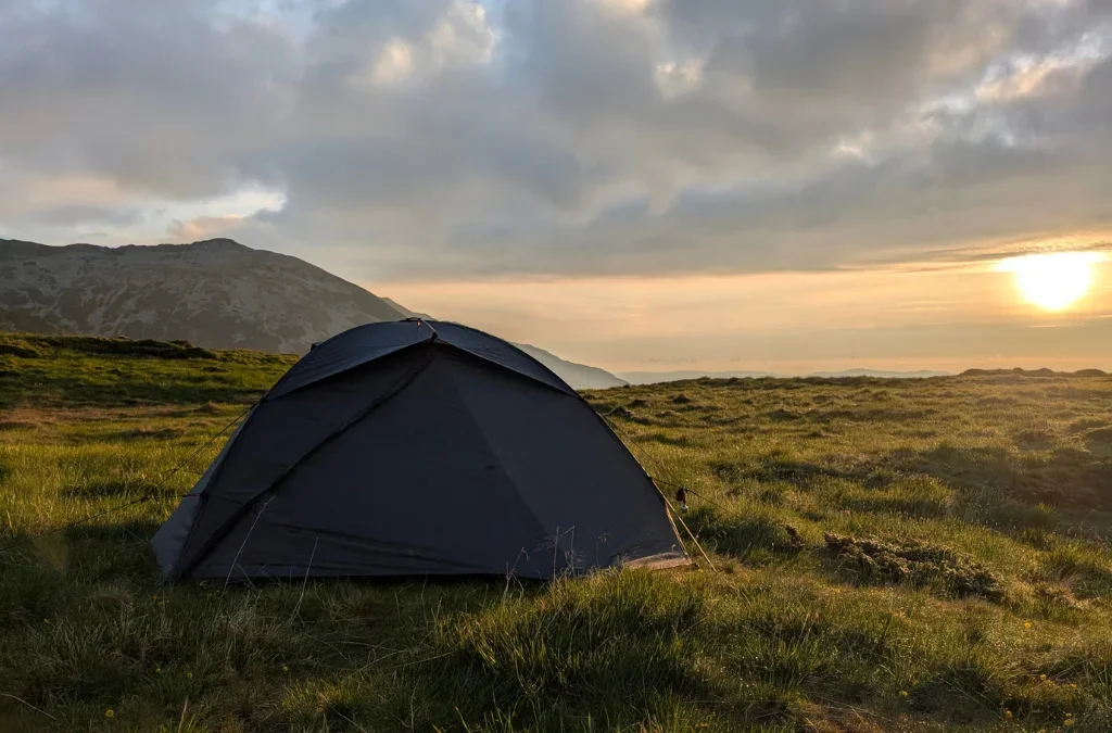
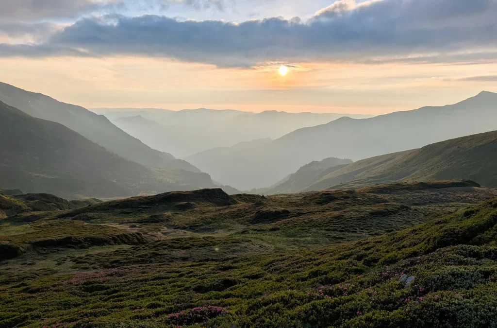
On this day, day 2, we were supposed to get to Stana Runcul Stiolului, where we’d camp, and see Taul Stiol along the way.
But first we had to get to the shelter La Carti for water, since there was a spring nearby. For this we switched to the red trail markers.

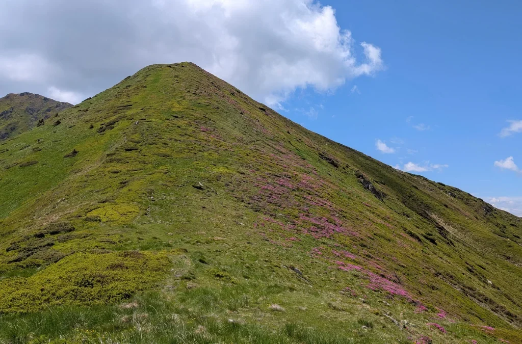
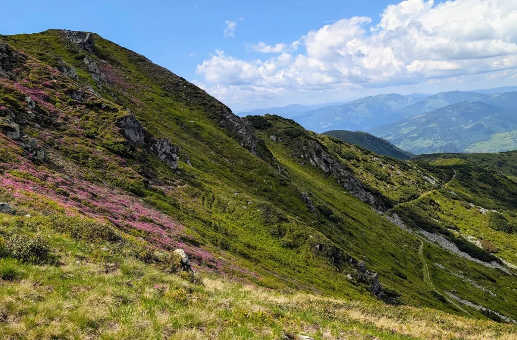
Once again the views were absolutely amazing. We were hiking on narrow trails surrounded by rhododendron. And once again I kept thinking, how is this real? It’s just something you have to see with your own eyes.
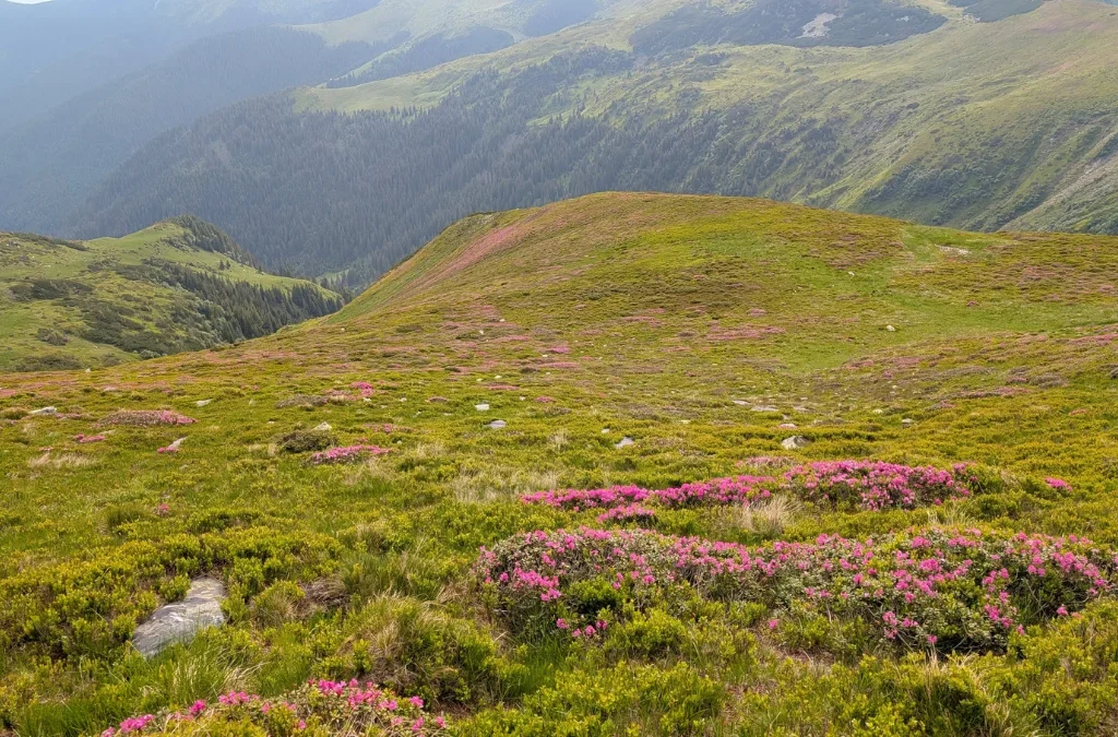
Plus seeing the ridges, the valleys, the little ponds, all the flowers, made this day an amazing one.
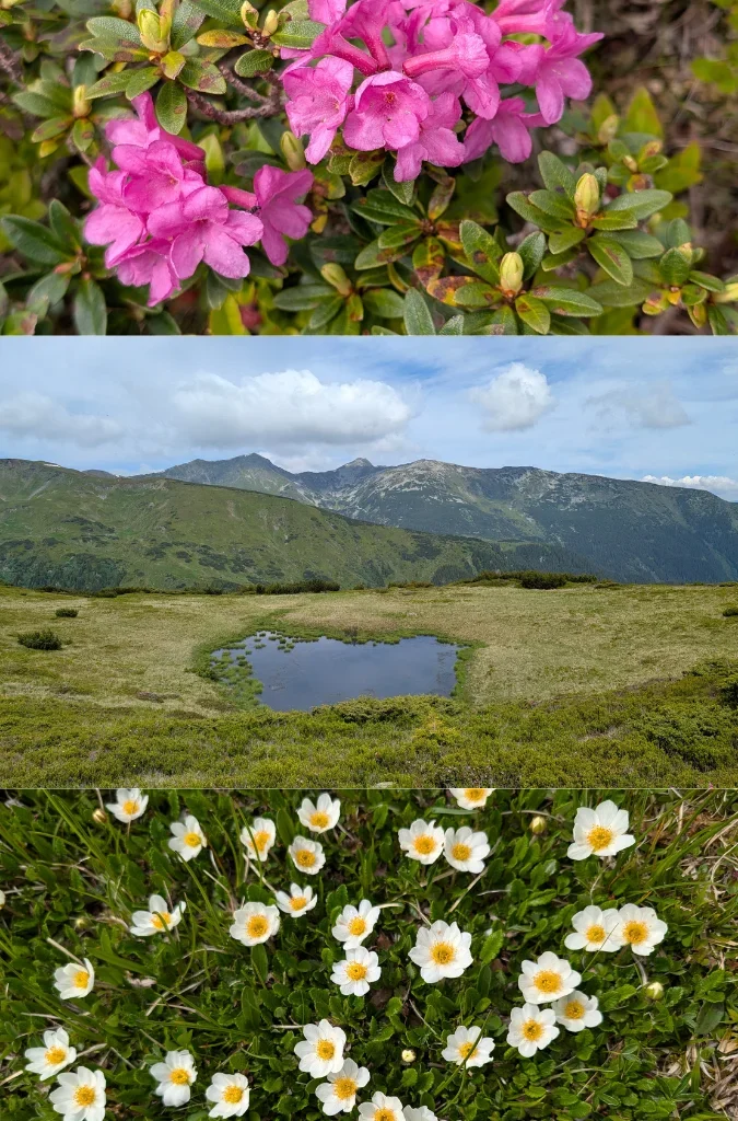
Apparently I don’t have a photo from the La Carti shelter, so I don’t know exactly how long it took us to get there, but it was somewhere between 10 am and 11:27 am.
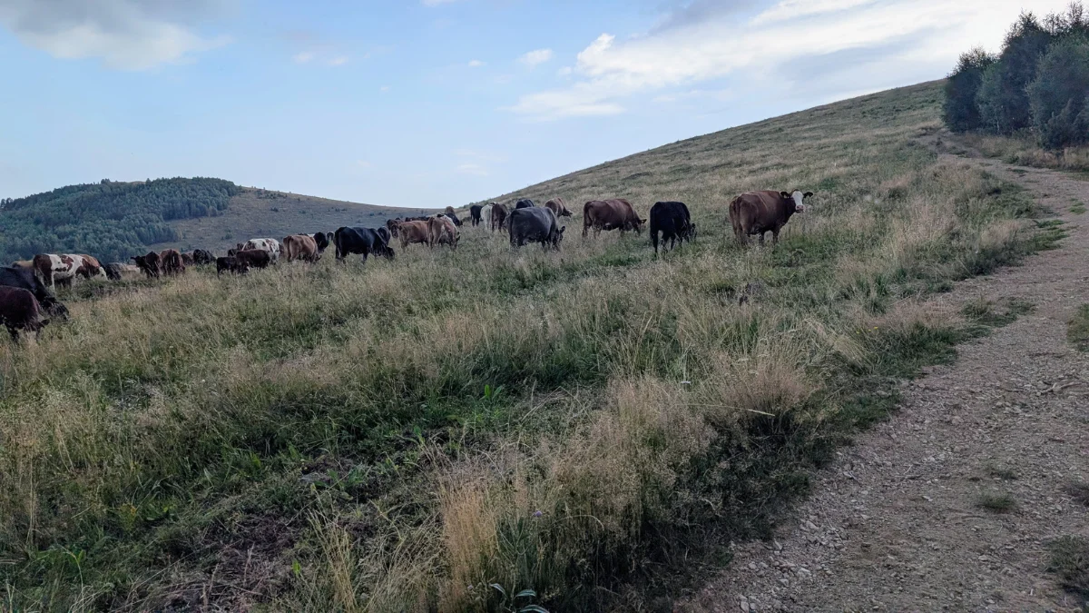
Here we also met a shepherd with his goats, and had a nice talk with him at the spring, since he’d also come to get water and we were still there filling up our bladders and bottles.
We then continued on the trail and passed close by Vf Laptele (Aniesu) Mare, 2167 m, we just passed by it, didn’t summit it. We crossed Saua Laptelui, still admiring the ridges and the pink flowers.
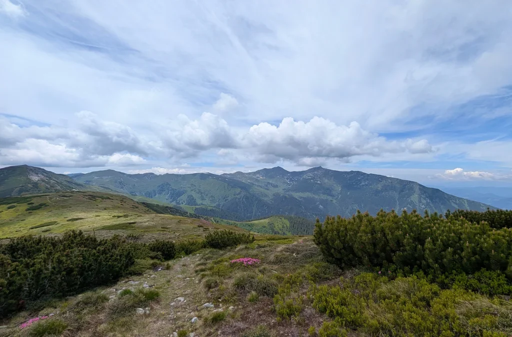
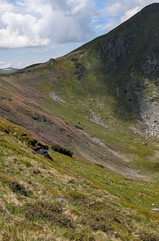
And just like that, we were at another summit, Vf Galatului, 2048 m, at about 3:30 pm.

We were still on the red trail markers, and I thought we’d see Horses Lake, but it’s not visible from the trail. You can take a detour if you want to see it, but we didn’t. We took a longer break around that area before continuing on the trail to the shelter, Refugiul din Saua Gargalau. Before reaching this shelter, there’s a plateau that’s a camping area with a spring.

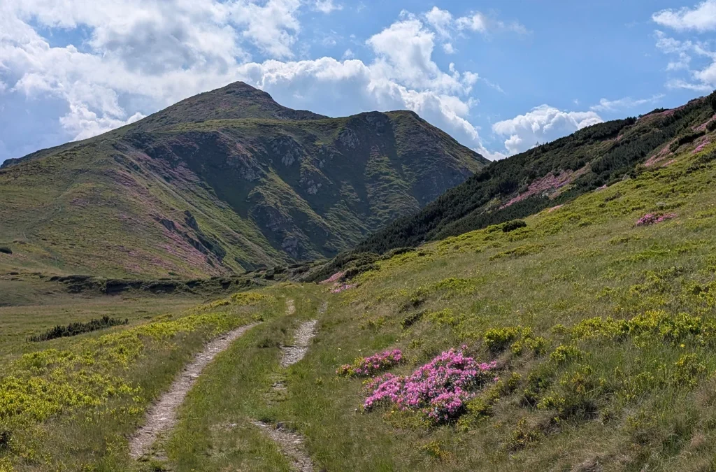
We arrived at the shelter at about 5:30 pm, and from here we were headed to Taul Stiol, on the blue trail markers.
We saw it from above and decided not to go down close to the lake, since there were people around, and I even saw some tents there. We didn’t have swimsuits with us anyway, and we were tired, so we were fine with just seeing the lake from above and continuing our hike towards Stana Runcul Stiolului, where we were supposed to camp for the night.
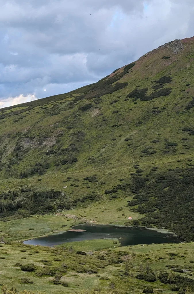

We saw the lake at about 6 pm and got to the camp at about 8:30 pm.
The third day, we started early. I was so excited to see the waterfall. We’d seen it before, back in, I think, 2018, and it’s my favorite waterfall.
So we got to Cascada Cailor (Horses Waterfall) at about 6:40 am, had our coffee, and took a nice long rest there.
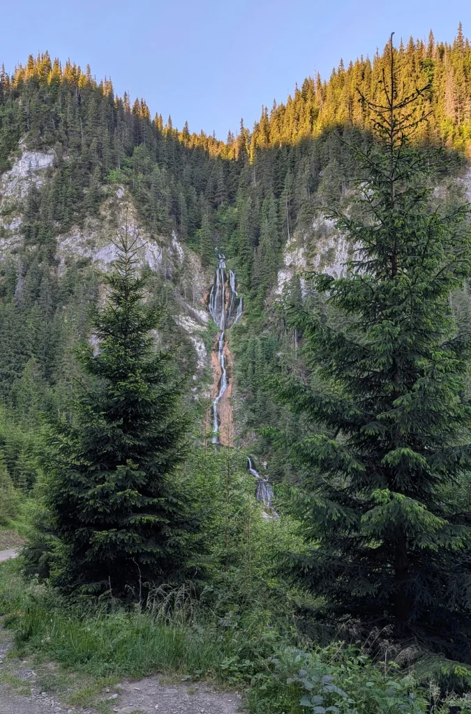
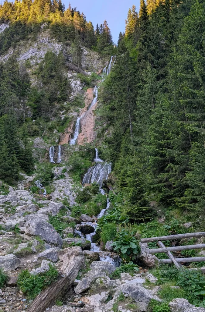
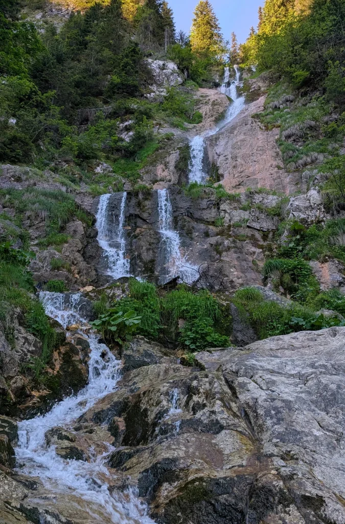
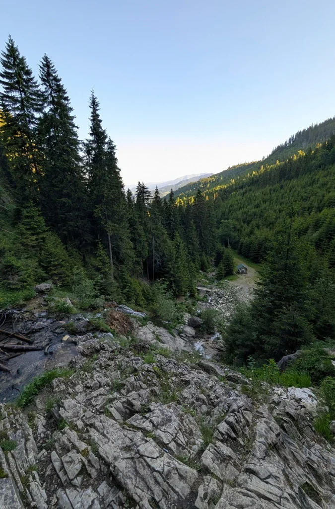
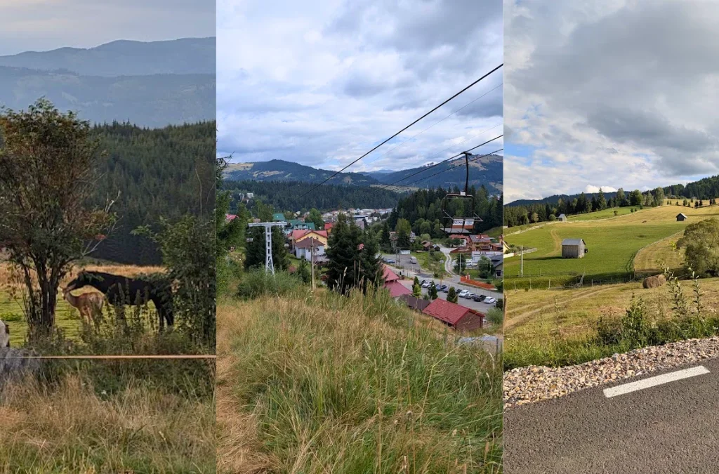
We stayed at the waterfall until about 8:30 am, before heading to Statiunea Borsa and then doing the 10 km along the edge of the road back to Borsa, where the car was parked.
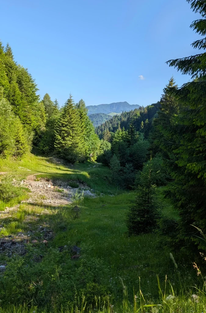
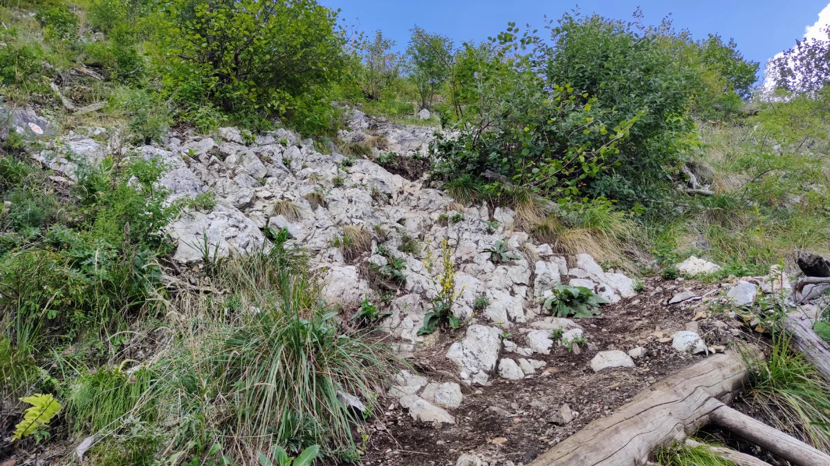
The trail isn’t hard. There are some sections where you have to watch your footing, and a few sections that are a bit steeper than I remembered from last time. There are also some rivers to cross, but they’re shallow, so all good.
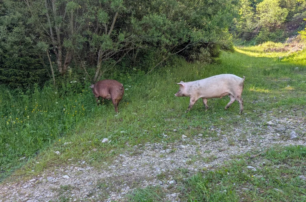
Close to the exit from the forest, we ran into some pigs. And did you know pigs can eat an entire human body? Even the teeth? That was the only thing I could think about while we were near the pigs.
And after a grueling 10 km in the hot sun, along the edge of the road, with and without a sidewalk, we got back to the car a bit before 12 pm.
FAQ
Is the Muntii Rodnei traverse (Lacul Iezer – Vf Pietrosul – Vf Galatului) hard?
It’s moderate to hard. The trail surface itself is well maintained and not technical, but the altitude difference (over 2,700 m of ascent across 3 days) and the length of the climbs make it demanding, especially on day 1 up to Vf. Pietrosul.
Do you need to camp to do this hike?
Yes, unless you plan it differently than we did. This is a 3-day, 2-night route with no return to a village in between, so you’ll either need to wild camp (as we did) or book a stay at one of the mountain huts/shelters along the way, such as Refugiul La Carti or Cabana Stana Runcul Stiol.
Is there water on the trail?
Yes. There’s a spring at Refugiul La Carti and another near the plateau before Refugiul din Saua Gargalau. We refilled our bottles and bladders at both.
When is the best time to hike this trail?
June is ideal if you want to catch the rhododendron in bloom around Lacul Iezer. Be aware that snow patches can still be present at higher altitude even in June.
Where does the trail start and end?
Both the start and the end are in Borsa. We parked near the Rehabilitation Hospital on Sanzienelor Street; if you’re using the hospital as a landmark, look for parking on a parallel street.
Can you see Lake Iezer’s Romania-shaped outline from the trail?
Yes, but not from lake level. You need to be higher up, closer to the summit, to actually see that the lake resembles the map of Romania.
What gear do we recommend for a trek like this?
Here’s what we used on this hike:
- Water reservoir: Forclaz MT500 2L (also available in 3L)
- Backpack (men’s): Simond MT900 Symbium 50+10L, with rain cover
- Backpack (women’s): Simond MT500 Air 55+10L
- Sleeping bag: Simond MT500 trekking sleeping bag, 5°C
- Shoes: Quechua SH500 Mountain
- Sleeping mat: Simond izoprene trekking mat, 180 x 50 cm, MT100
- Trekking pole: Simond MT500 All Season, 4-season, brown/black
- Trekking pole: Simond MT500 Antisoc, shock-absorbing, blue
- Boots: Salomon Quest 4 GTX, waterproof leather with Gore-Tex
- Tent: Simond MT500 dome trekking tent, 3-person, black/green