
Carpații Orientali (the Eastern Carpathians):
Complete Guide to Romania's Longest Mountain Section
This is part of a larger series on the mountains of Romania. It follows on from The Romanian Carpathians: A Complete Overview, which introduced the four main sections of the Romanian Carpathians. Here we turn to Carpații Orientali, the longest of the four sections.
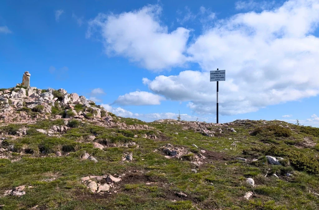
What are Carpații Orientali?
Carpații Orientali (the Eastern Carpathians) form the longest section of the Romanian Carpathian arc, running from the border with Ukraine in the north down to the Prahova Valley in the south, where the range meets the Curvature Carpathians. To the west, Carpații Orientali border the Transylvanian Depression; to the east they border the Moldavian Plateau and the Subcarpathians of Moldavia.
The highest point in the entire Eastern Carpathians is Vârful Pietrosu, 2,303 m, in the Rodna Mountains, on the border between Maramureș and Bistrița-Năsăud counties.
As introduced in the overview article in this series, Romanian geography traditionally divides Carpații Orientali into three major groups: a northern group, a central group, and a southern group, the last of which is more commonly known as Carpații de Curbură (the Curvature Carpathians). Because Carpații de Curbură have a distinct shape, geology, and hiking character, this series treats them as their own separate section, with a dedicated article. This article focuses on the northern and central groups, which together account for the great majority of the Eastern Carpathians’ length and area.
The defining characteristic: three parallel strips
Across their whole length, Carpații Orientali share a structure that sets them apart from the rest of the Romanian Carpathians: three roughly parallel strips of rock, running along a northwest to southeast axis, each with a different origin.
- A volcanic strip in the west, formed by the Oaș, Gutâi, Țibleș, Călimani, Gurghiu, and Harghita mountains. Taken together, this is considered the longest volcanic mountain chain in Europe.
- A crystalline and Mesozoic strip in the center, containing the highest point of the whole Eastern Carpathians, Vârful Pietrosu, 2,303 m, in the Rodna Mountains.
- A flysch, or sedimentary, strip in the east, reaching 1,907 m at Vârful Toaca in the Ceahlău massif, one of the most recognizable peaks in the range.
This three-strip pattern shows up at every scale in Carpații Orientali, from the section as a whole down to each of its major groups, which is why it is worth understanding before looking at the northern and central groups individually.
Compared to Carpații Meridionali, elevations here are moderate, and the range is broken up by broad, often-inhabited depressions, including Prislop, Mestecăniș, Ghimeș-Palanca, Oituz, and Predeal, which have long served as natural travel corridors through the mountains.
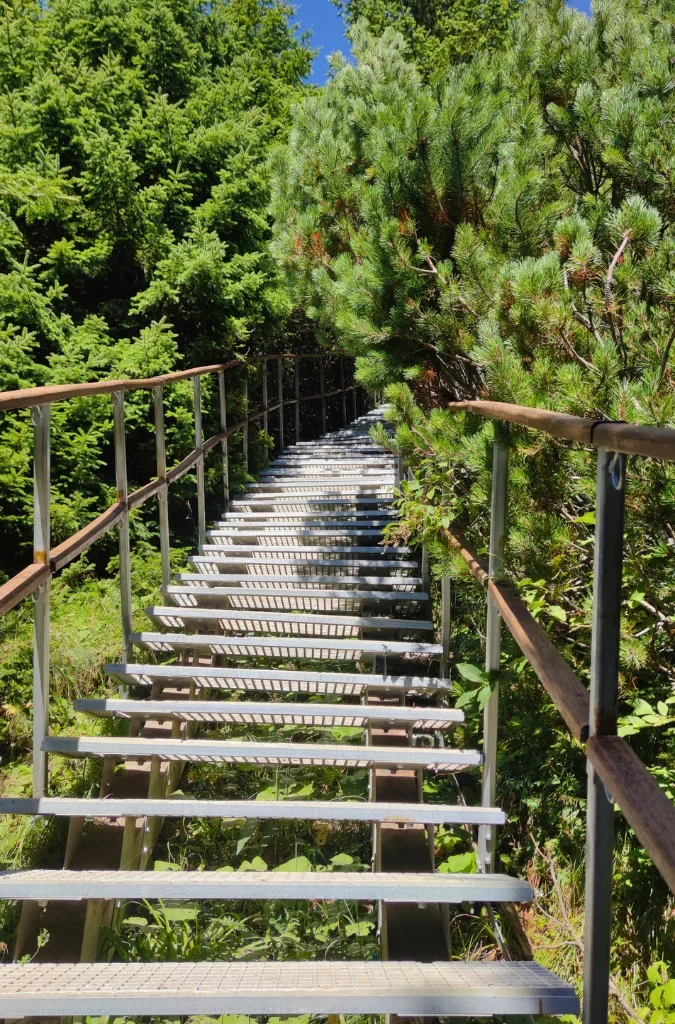
The northern group: Carpații Maramureșului și Bucovinei
The northern group, Carpații Maramureșului și Bucovinei (the Maramureș and Bucovina Carpathians), stretches from the Ukrainian border down to the Dornelor depression, the Mestecăniș pass, and the Moldova valley corridor, which mark its boundary with the central group.
This group contains the highest point in all of Carpații Orientali, Vârful Pietrosu (2,303 m) in the Rodna Mountains, along with extensive glacial relief, the only significant glacial landscape anywhere in the Eastern Carpathians.
Sub-groups of the northern group
| Sub-group | Highest peak | Elevation |
|---|---|---|
| Munții Oașului | Vf. Piatra Bixadului | 823 m |
| Munții Igniș | Vf. Igniș | 1,307 m |
| Munceii Băii Mari | Vf. Măgura Mare | 889 m |
| Munții Gutâi | Vf. Gutâiul Mare | 1,443 m |
| Munții Lăpușului | Vf. Văratecu | 1,353 m |
| Munții Țibleș | Vf. Bran | 1,840 m |
| Munții Maramureșului | Vf. Farcău | 1,957 m |
| Munții Râpei | Vf. Pop Ivan | 1,937 m |
| Munții Rodnei | Vf. Pietrosu | 2,303 m |
| Munții Bârgăului | Vf. Heniul Mare | 1,611 m |
| Munții Suhard | Vf. Omu | 1,932 m |
| Munții Țibăului | Vf. Țapul Mare | 1,651 m |
| Obcinele Bucovinei (Obcina Mare, Obcina Mestecăniș, Obcina Feredeului) | Vf. Poiana Săcălești (Obcina Brodinei) | 1,307 m |
This is not the full list of every sub-group recognized in the northern group’s portion of the Eastern Carpathians’ 52-part classification; several further Bucovina ridges continue the range east toward the Moldavian Plateau. A dedicated article on the northern group will cover these in full.
Munții Rodnei stand out as the highest and most dramatic sub-group, protected as Rodna Mountains National Park and containing the only true glacial cirques and lakes in Carpații Orientali. Munții Maramureșului and Munții Suhard are close behind in elevation and see far fewer visitors, offering some of the most remote ridge hiking in Romania. The volcanic Munții Gutâi and Munții Țibleș form the western edge of this group and are also the first links in the long volcanic chain that continues south through the central group.
Major depressions within the northern group include Depresiunea Oaș, on the Tur River, Depresiunea Maramureșului, drained by the Tisa, Iza, and Vișeu rivers, Depresiunea Dornelor, on the Bistrița, and Depresiunea Câmpulung Moldovenesc, on the Moldova River. The main passes are Pasul Prislop (1,416 m), Pasul Șetref, Pasul Tihuța (also known as the Bârgău Pass), and Pasul Mestecăniș.
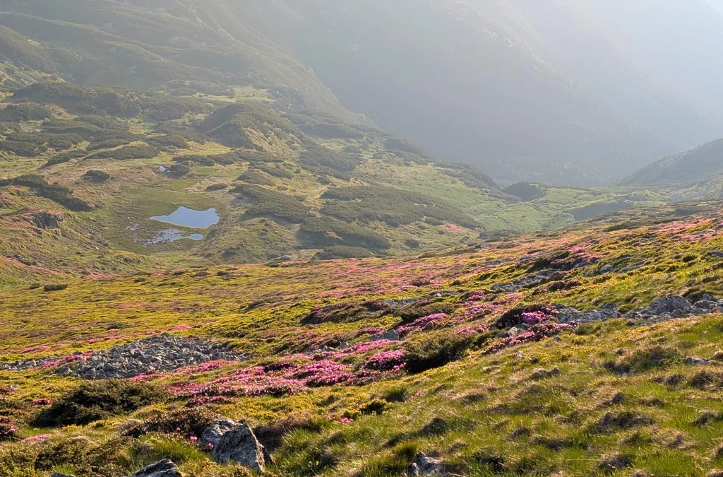
The central group: Carpații Moldo-Transilvani
The central group, Carpații Moldo-Transilvani (the Moldavian-Transylvanian Carpathians), is the widest and most structurally complex part of Carpații Orientali. It is bounded to the north by the Dornelor depression, the Mestecăniș pass, and the Moldova valley corridor, and to the south by the Brașov depression and the Oituz pass, where it meets Carpații de Curbură.
Within this group, the three-strip structure of Carpații Orientali is at its clearest:
The volcanic strip, in the west, made of basalt and andesite: Munții Călimani, whose Vârful Pietrosu reaches 2,100 m, the highest point in the volcanic chain and a well-preserved crater landscape; Munții Gurghiului; and Munții Harghita, which includes Muntele Ciomatu, the chain’s easternmost volcano, and the Sfânta Ana crater lake, the only crater lake in Romania.
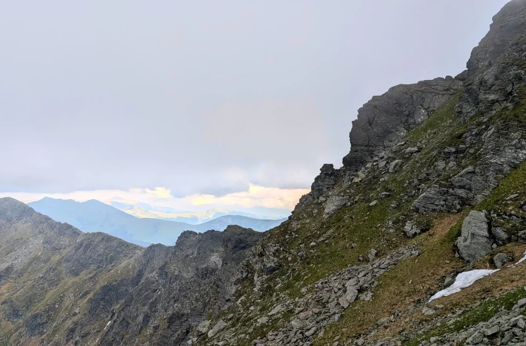
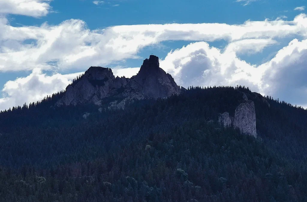
The crystalline and limestone strip, in the center: the twin massifs of Giumalău and Rarău, known for scenic limestone outcrops such as Pietrele Doamnei; Munții Bistriței; Munții Giurgeu; Munții Hășmașu Mare, source of the Olt River and home to well-developed karst relief; and Munții Ciucului and Munții Nemira.
The flysch strip, in the east, arranged in two rows: an inner row made up of Munții Bistriței, Munții Ceahlău (famous for the Toaca peak and the Pietrele Dochiei rock formation, plus the Bicaz Gorges on its southern edge), and Munții Tarcăului; and an outer row made up of Munții Stânișoarei, Munții Goșmanu, and Munții Berzunți.
Some classifications also place Munții Perșani, Munții Baraolt, and Munții Bodoc within the southeastern edge of the central group, while other sources treat them as part of Carpații de Curbură. This is one of the genuine grey areas in Romanian Carpathian classification, and this series will address it directly in the dedicated Curbură article.
Sub-groups of the central group
| Sub-group | Type | Notable feature |
|---|---|---|
| Munții Călimani | Volcanic | Highest volcanic peak in Romania, 2,100 m |
| Munții Gurghiului | Volcanic | Forested volcanic plateau |
| Munții Harghita | Volcanic | Sfânta Ana crater lake |
| Munții Giumalău | Crystalline/limestone | Twin massif with Rarău |
| Munții Rarău | Crystalline/limestone | Pietrele Doamnei rock formations |
| Munții Bistriței | Crystalline | Zugreni Gorges |
| Munții Giurgeu | Crystalline/karst | Giurgeu depression, Borsec |
| Munții Hășmașu Mare | Crystalline/karst | Source of the Olt River, Bicaz Gorges |
| Munții Ciucului | Flysch/crystalline | Ciuc depression |
| Munții Nemira | Flysch | Borders Carpații de Curbură |
| Munții Ceahlău | Flysch/conglomerate | Vf. Toaca, 1,907 m, Pietrele Dochiei |
| Munții Tarcău | Flysch | Inner flysch row |
| Munții Stânișoarei | Flysch | Outer flysch row |
| Munții Goșmanu | Flysch | Outer flysch row |
| Munții Berzunți | Flysch | Outer flysch row |
Major depressions in the central group include Depresiunea Giurgeu, on the Mureș, Depresiunea Ciucului, on the Olt, and Depresiunea Comănești, on the Trotuș. Key passes include Pasul Tihuța, Pasul Mestecăniș, Pasul Ghimeș, Pasul Oituz, Pasul Bicaz, Pasul Tulgheș, and Pasul Bucin, along with the Toplița-Deda gorge on the Mureș.
Landmarks and protected areas
Carpații Orientali hold some of Romania’s best-known natural landmarks:
- Cheile Bicazului and the surrounding Cheile Bicazului-Hășmaș National Park, one of the most visited gorge systems in the country.
- Lacul Roșu (Red Lake), a natural dam lake near the Bicaz Gorges.
- Sfânta Ana, Romania’s only crater lake, in the Harghita Mountains.
- Rodna Mountains National Park, protecting the glacial lakes and cirques around Vârful Pietrosu.
Ceahlău National Park, centered on the Toaca peak and the Pietrele Dochiei rock formation. - Rarău-Giumalău, known for the Pietrele Doamnei limestone cliffs.
- Spa and resort towns including Vatra Dornei, Borsec, Băile Tușnad, and Slănic Moldova.
Why this matters for hikers
The northern and central groups of Carpații Orientali offer a wider range of terrain than almost any other part of the Romanian Carpathians:
- Glacial high-mountain hiking: Munții Rodnei, the only place in Carpații Orientali with true glacial cirques and lakes.
- Volcanic ridge and crater hiking: the long Oaș-Gutâi-Țibleș-Călimani-Gurghiu-Harghita chain, including the Sfânta Ana crater lake.
- Karst and gorge hiking: Cheile Bicazului, Cheile Bicăjelului, and Cheile Șugăului in the Hășmaș Mountains.
- Remote, low-traffic ridge walking: Munții Maramureșului and Munții Suhard, among the least visited high ridges in Romania.
- Iconic single-summit hikes: Ceahlău and Rarău, both reachable as focused one or two-day trips with a strong payoff in scenery.
Frequently asked questions
What is the highest peak in Carpații Orientali? Vârful Pietrosu, 2,303 m, in the Rodna Mountains, part of the northern group.
How many major groups make up Carpații Orientali? Three, in the traditional classification: a northern group (Maramureș and Bucovina), a central group (Moldo-Transilvani), and a southern group, more commonly known as Carpații de Curbură and treated as its own section in this series.
Why is Carpații Orientali called the longest volcanic chain in Europe? The volcanic strip running through the Oaș, Gutâi, Țibleș, Călimani, Gurghiu, and Harghita mountains forms a single, largely continuous line of extinct volcanic massifs, considered the longest such chain on the continent.
Where is Romania’s only crater lake? Lacul Sfânta Ana, in the Harghita Mountains, part of the volcanic strip of the central group.
Is there glacial terrain in Carpații Orientali? Yes, but only in Munții Rodnei, in the northern group, which contains the only glacial cirques and lakes in the entire Eastern Carpathians.
What separates the northern and central groups of Carpații Orientali? The Dornelor depression, the Mestecăniș pass, and the Moldova valley corridor.