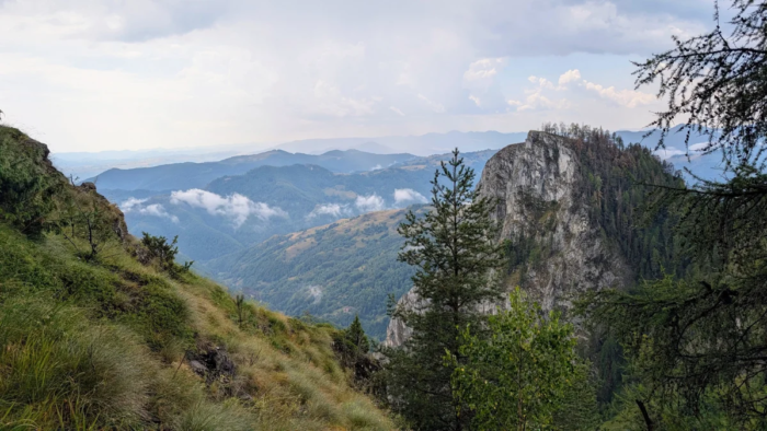
Part of the Carpații Occidentali (the Western Carpathians), Munții Apuseni (Apuseni Mountains), Muntele Mare
Parking: You can check this Google Maps link to see where you can park. It’s not the only option, you can drive further up the road to be closer to the red dot marking if you want. Both times we went, we parked the car at Punct Gastronomic Local Scarita Belioara.
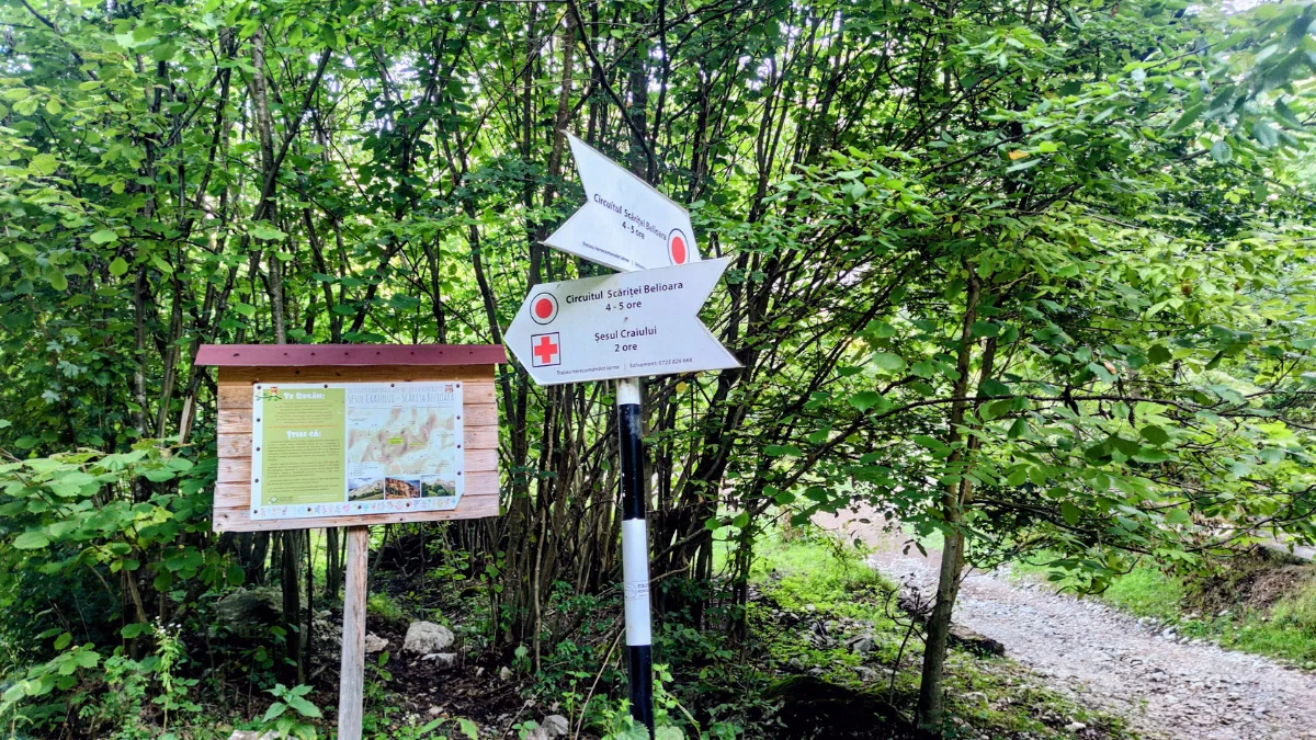
Trails: The loop trail starts a bit further up the road from the restaurant where we parked our car. You’ll see a panel with info about the reservation, as well as the arrows. Both times we did the loop starting from the left side. On the left side, the rocky part is bigger, so it’s easier to climb up than to go down on it.
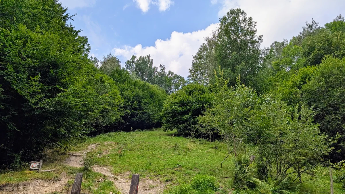
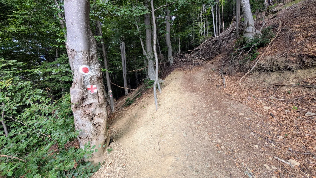
After you pass the arrows and the panel, shortly after, you’ll see a big wooden gate. It has the red dot marking on it, so you know you’re on the right track. Now the climb starts, it begins on a little clearing, then through the forest, then on the rocky bit, then back inside the forest, with a bit of clearing before going back in the forest.
In this last part of the forest, you’ll start to see and hear a river, it’s very small, so no worries about it. After this forest section, you come out into a clearing with flowers, where the water source is. You’ll see the arrow letting you know where the trail goes up above the hill.
After this clearing, you go back into the forest, and the whole time you’ll be going uphill. When you get out of the forest, you’re on a plateau. There’s such a pretty view here. Continuing on this plateau, you’ll end up on the ridge, with even nicer views, it’s worth taking breaks if you can, to admire the view.
After this, past the ridge, the descent begins, first through the forest, then through a burned section of forest and a bit of open space, going down the trail in serpentines, until you’re back inside the forest.
From there, you end up in a field, where you can see old traditional houses, as well as Cosul Boiului on the cliff slope.
After the field, you end up back in the forest, and you stay in the forest all the way back to the start of the loop. Besides the forest path, you’ll also have to descend along a dried-up riverbed.
GPX: You can find the trail on Muntii Nostri here.
When did we do this trail? August 2026.
Trail Facts
| Trail type | loop |
| Distance | ~9 km |
| Duration | 6 hours with breaks |
| Elevation gain | ~900 m |
| Difficulty | moderate (some rocky sections) |
| Trail marking | red dot marker |
| Highest point | Vf. Scarita, [1365 m] |
| Access | Punct Gastronomic Local Scarita Belioara |
| Water sources | There is one on the trail, I just don’t like how the water looks, since it comes straight from the ground. Maybe it’s safe, but we didn’t try it. |
| Hiked in | August 2026 |
| GPX | Download here (from the 3 dots, on the bottom left side of the screen, choose Download GPX file) |
Circuit Scarita Belioara
We did this trail twice, once in August 2025 and now in August 2026.
This is one of those trails that stays with you because of how beautiful it is. I do want to hike it in different seasons as well.
I’d say this trail isn’t recommended if it’s raining or snowing, because of the rocky bits you have to climb up and then down.
This was the first trail we did with this much elevation gain, back in 2025.
This time, we also had such a nice view on the drive there, thanks to the patches of fog we caught along the way.
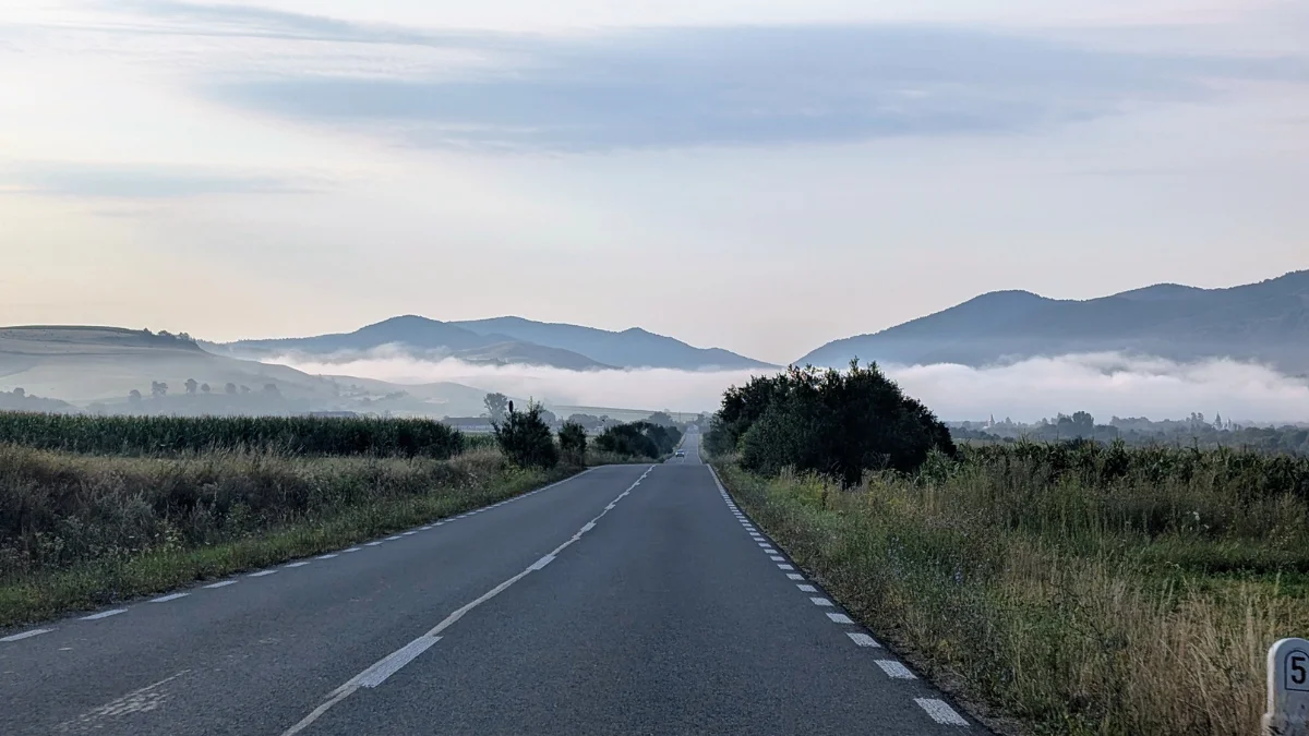
Both times, we parked our car at the Punct Gastronomic Local Scarita Belioara parking space, but you can drive a bit further up the road if you want, there are a few more spots where you can park, at the edge of the road, further up.
Both times, we ate here after the hike, and I highly recommend it, the prices aren’t high (30 lei for a soup/main dish and 15 lei for a pie, if I remember correctly).
The trail itself starts a bit further up the road, where you’ll see an informational panel about the Scarita Belioara nature reserve, as well as the arrows to guide you on the trail. We took the left side both times, because there’s a rocky bit ahead that you’ll have to climb, and I think it’s easier to go uphill on it than downhill.
[image from August 2025]
You’ll know you’re on the right trail if you cross a big wooden gate. After the wooden gate, the hard part begins, a bit of steep climbing through this clearing before going inside the forest.
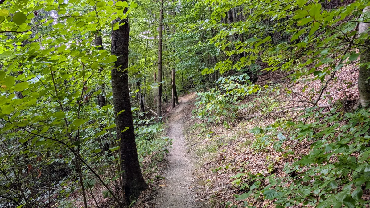
This part of the forest gives you a chance to catch your breath before the next sections, since the incline is very gentle here.
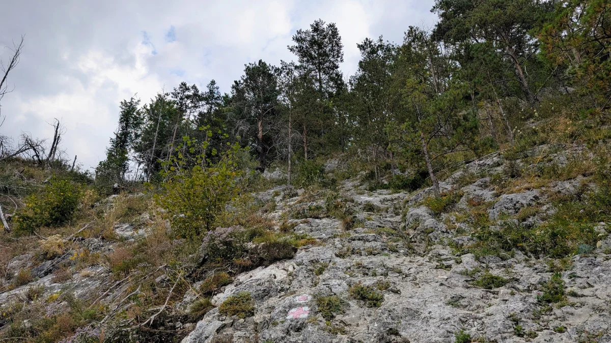
After this forest bit, you end up in front of the rocky climb. I don’t think it’s that difficult, there are plenty of spots to put your feet, and you can always help yourself with your hands if you need to. I also don’t think it’s close enough to the edge to feel dangerous. But I wouldn’t want to do it if the stone were wet, since I’m not sure how much grip you’d have then.
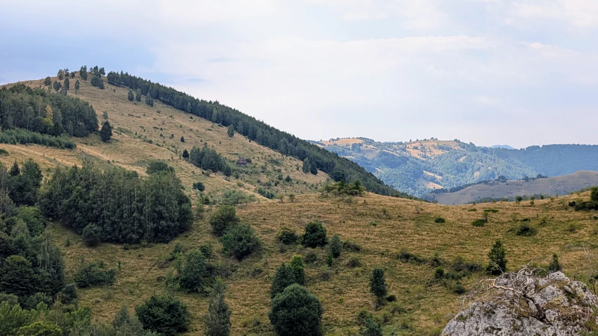
The views are absolutely amazing, so all the effort is worth it.
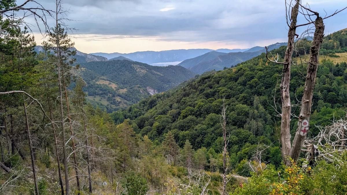
We’re back in the forest, but we also get a chance to catch our breath, as there’s a bit of clearing that isn’t too steep. Then we’re back on a steeper trail inside the forest again.
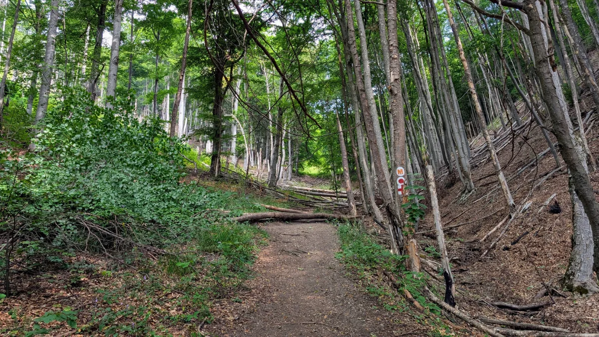
Up ahead, there’s a rock where we like to take a break, you can sit on it and have a snack. Here you start to hear the river, and you’ve actually already crossed it, but it’s barely there, so no need to worry.
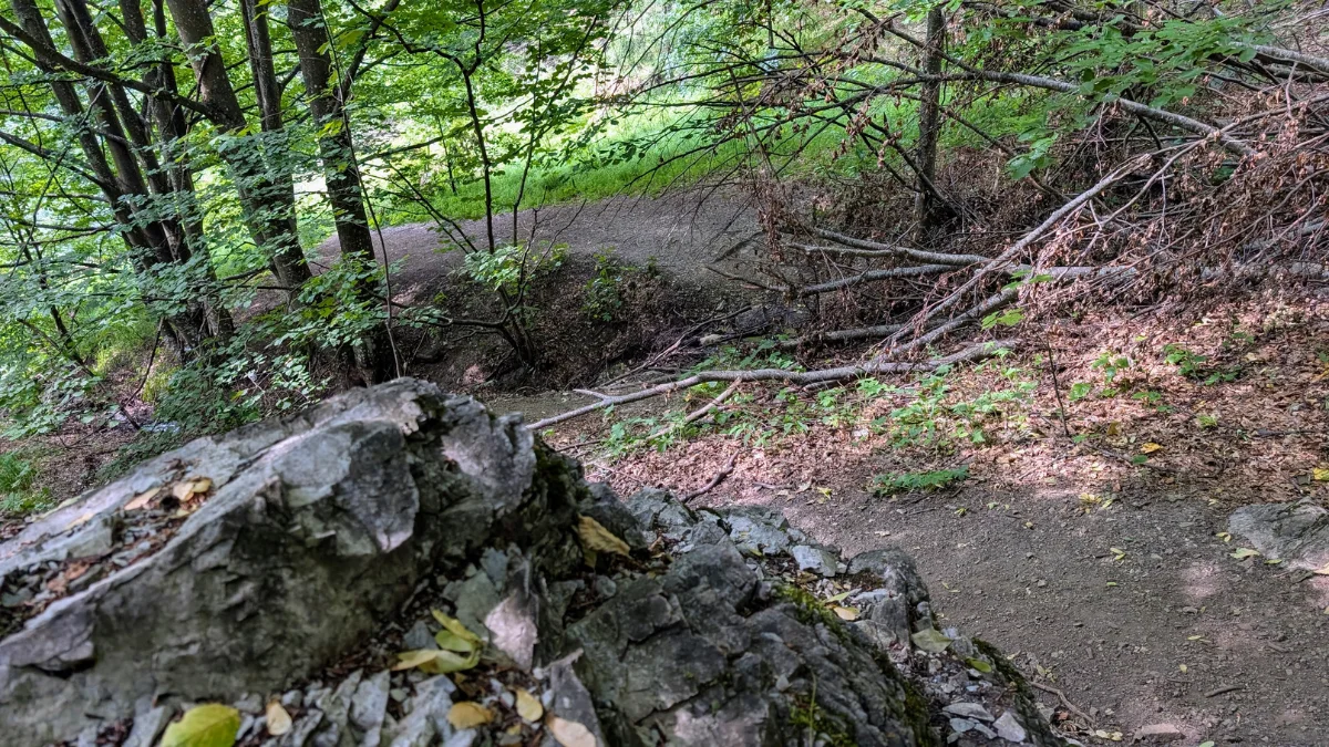
After this forest section, we end up in a clearing, and once again we can enjoy the views. There’s a spring here, but it’s so close to the ground and so shallow that I just don’t trust it as a water source. Maybe it’s fine, I don’t know, we didn’t try it.
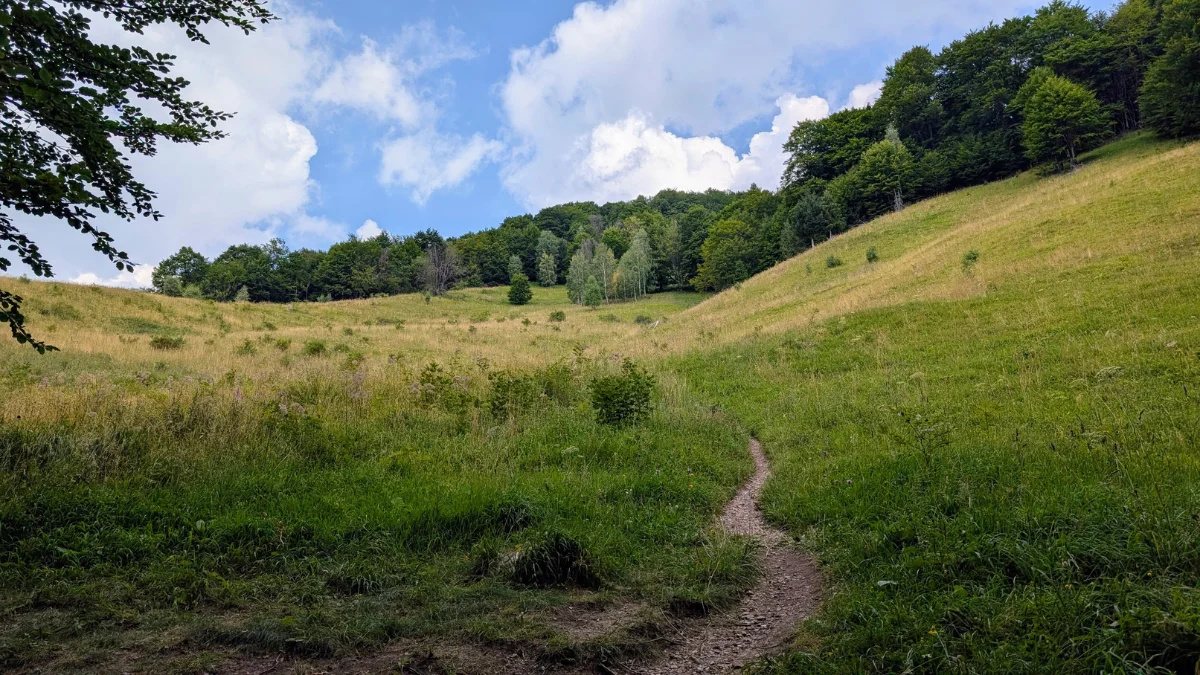
After the meadow, we go back into the forest, this is the last uphill stretch inside the forest. There’s still some uphill on the plateau, but then it flattens out a bit before the descent begins. It’s not a straight downhill though, there are still a few small uphill bits, but it’s mostly downhill from there.
When we came out of the forest, we ran into some cows and their owners, along with their dogs. The dogs were friendly, only two of them barked, but they were called off quickly.
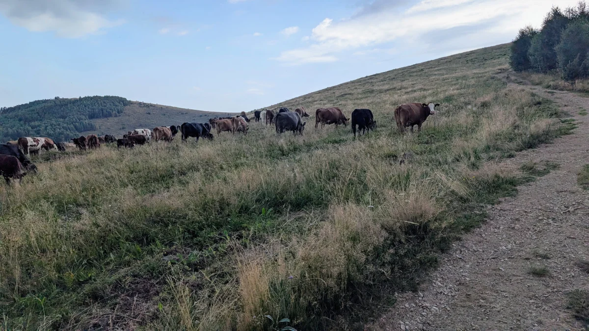
The granny who was with the cows asked us if we wanted to take cover from the rain and wait a bit. We knew a storm was coming, but I thought it would arrive around 5 pm, since I’d checked the weather that morning before heading out, so plenty of time for our hike, or so I thought.
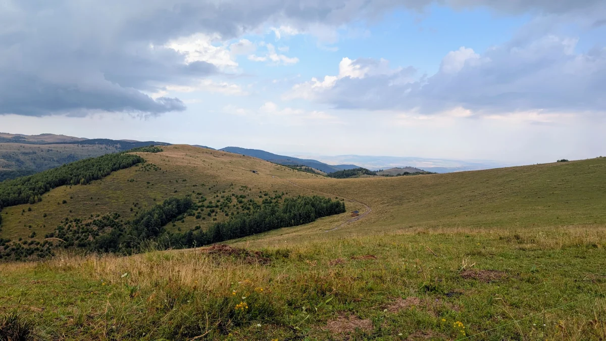
We only managed to go a little further up the plateau before the storm hit. It was about 12 pm, so much earlier than I expected. That taught me a great lesson: always listen to the people on the hills, like shepherds or cowherders, they know better than your weather app.
And second, I still don’t know exactly what to do in case of a thunderstorm. Since this was a thunderstorm, I knew the position to take if needed, and I knew we were supposed to go downhill as fast as possible, but I didn’t know where to shelter, was it okay in the forest? Was it better at the edge of the forest? Should we have kept going even in a thunderstorm?
We took cover in the forest, and it was fine, nothing happened, and then we continued on the trail and got back safely, with no storm at 5 pm after all. We got a bit more rain later on the trail, but the thunder stayed far off.
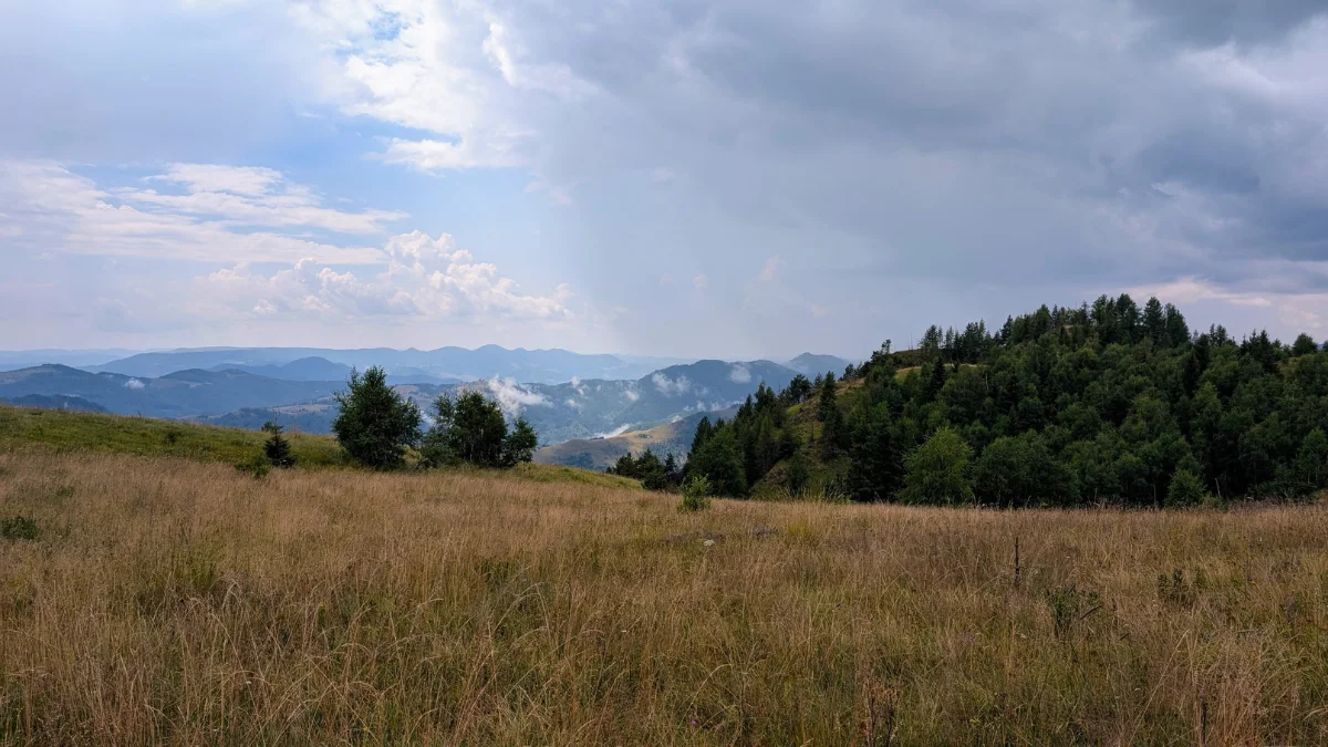
The views after the storm were absolutely amazing, so I’m glad I got to see them. I do like fog, so for me those little strips of fog were wonderful.
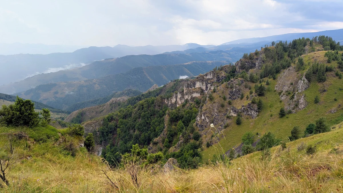
Because we wanted to get down as quickly as possible, so no other storm would catch up with us on Scarita Belioara, we didn’t spend much time at the edge or on the plateau, just a few photos and back on the trail.
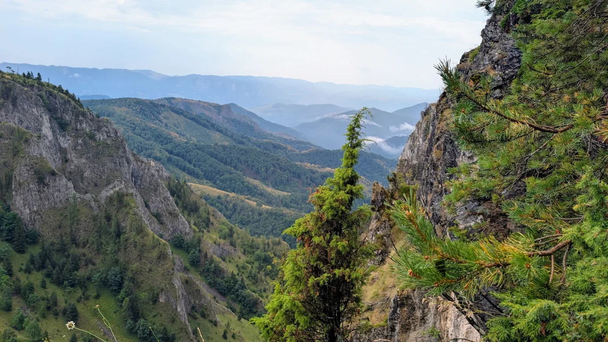
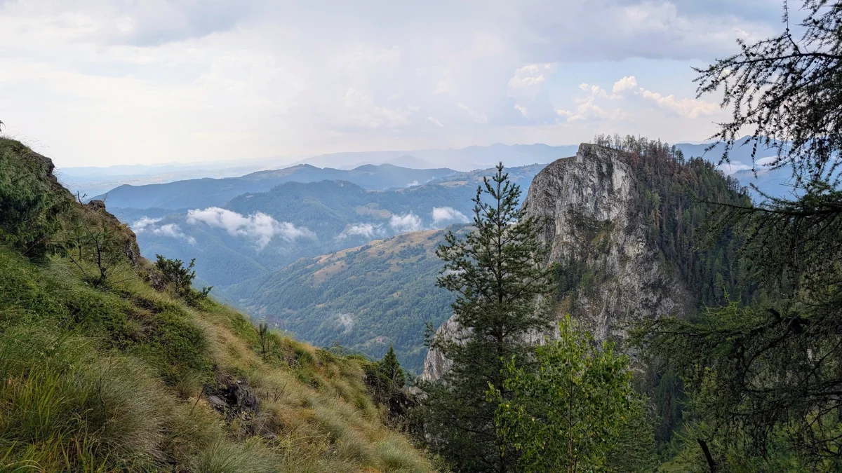
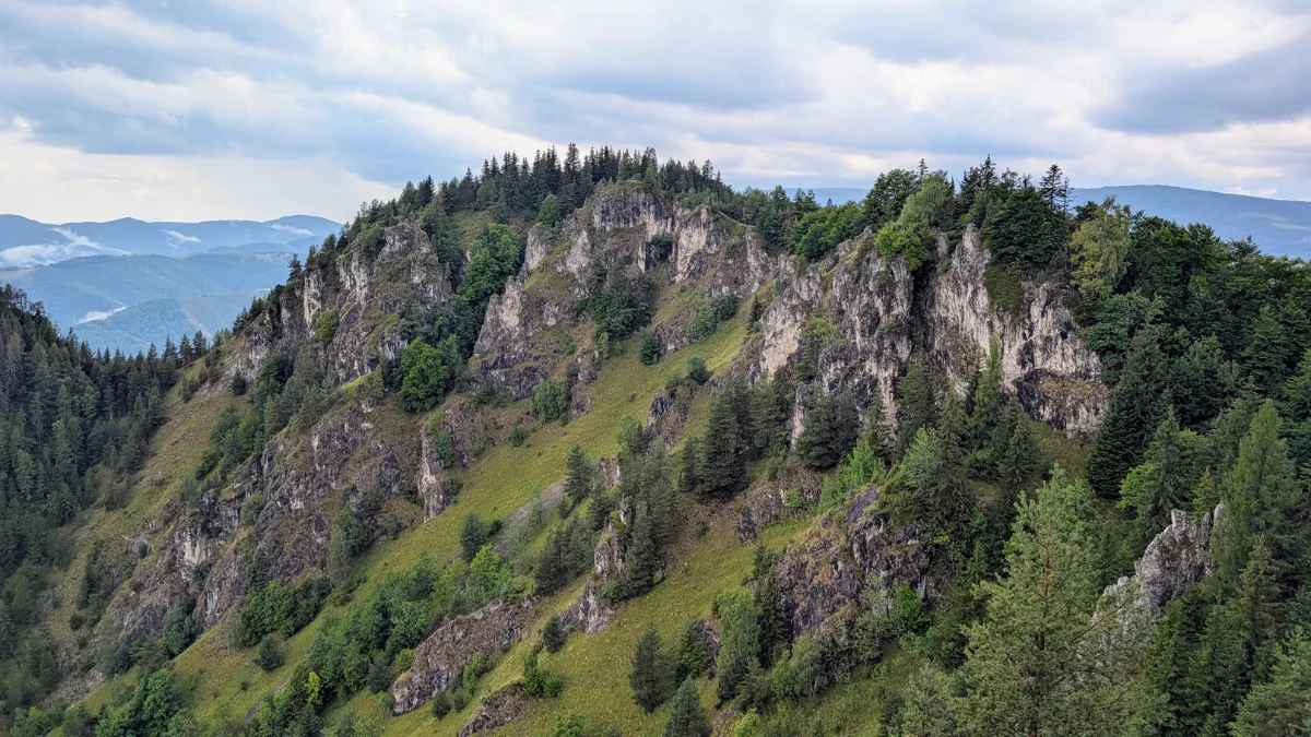
After the edge, we entered a small patch of forest, and then came out again into the burned section of forest.
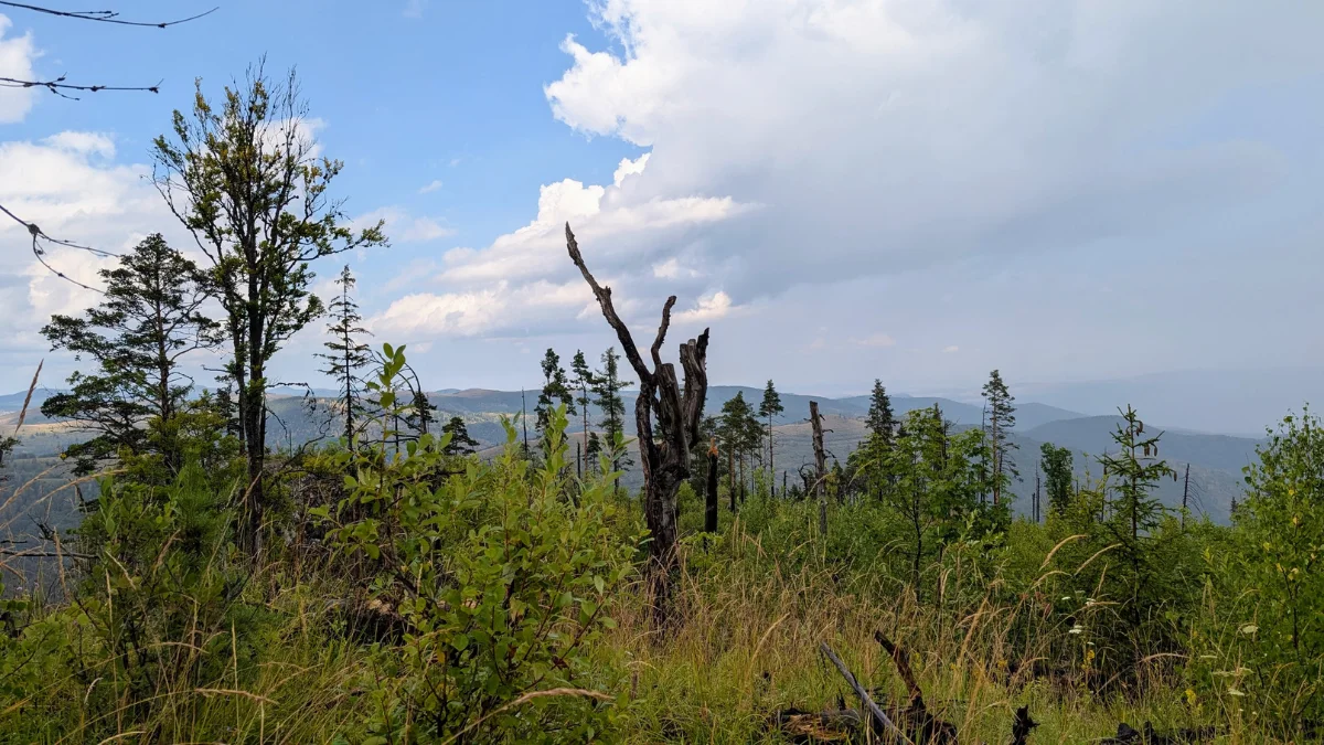
Then the descent through the serpentines begins. There are also a few rocky bits to go down, smaller than the ones we climbed on the way up, and again, there are places to put your feet, and you can always go down backwards to use your hands too.
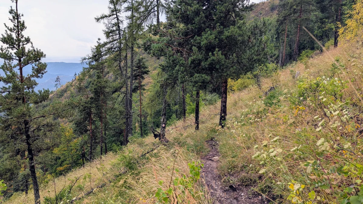
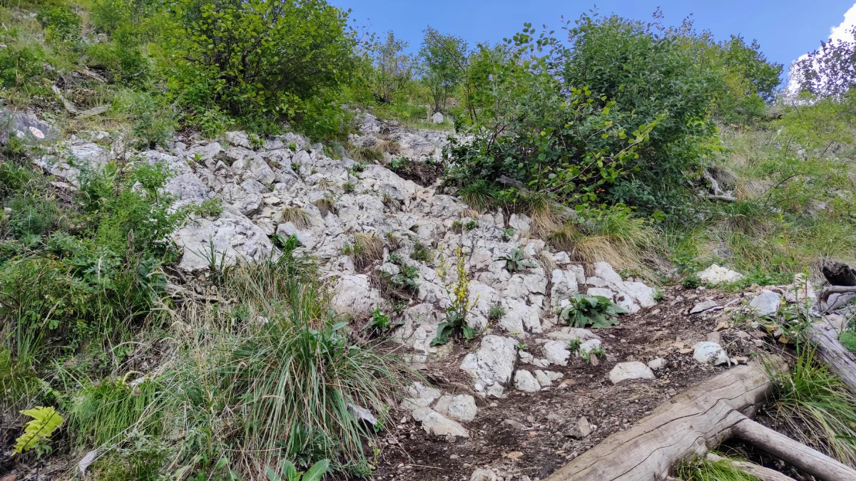
[image from august 2025]
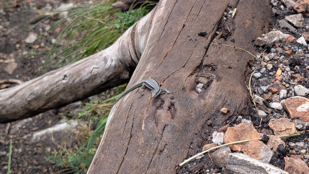
This time we also saw a cute little lizard on the trail.
After a bit more forest, we come out into the field where we can see some old houses, as well as Cosul Boiului, which is like a cave but also has an opening at the top, so you get a view of the sky as well as the side.
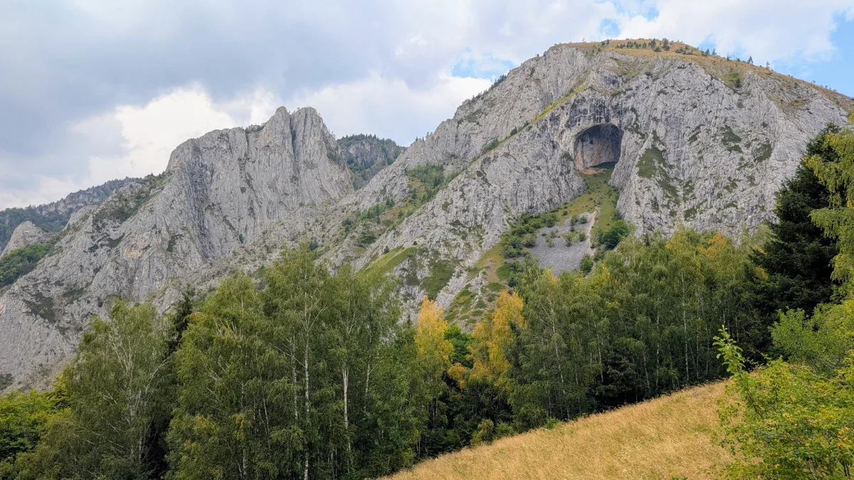
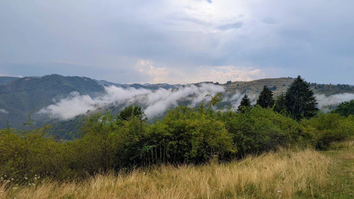
And back into the forest for the last part of the trail, where we also descend along a dried riverbed.
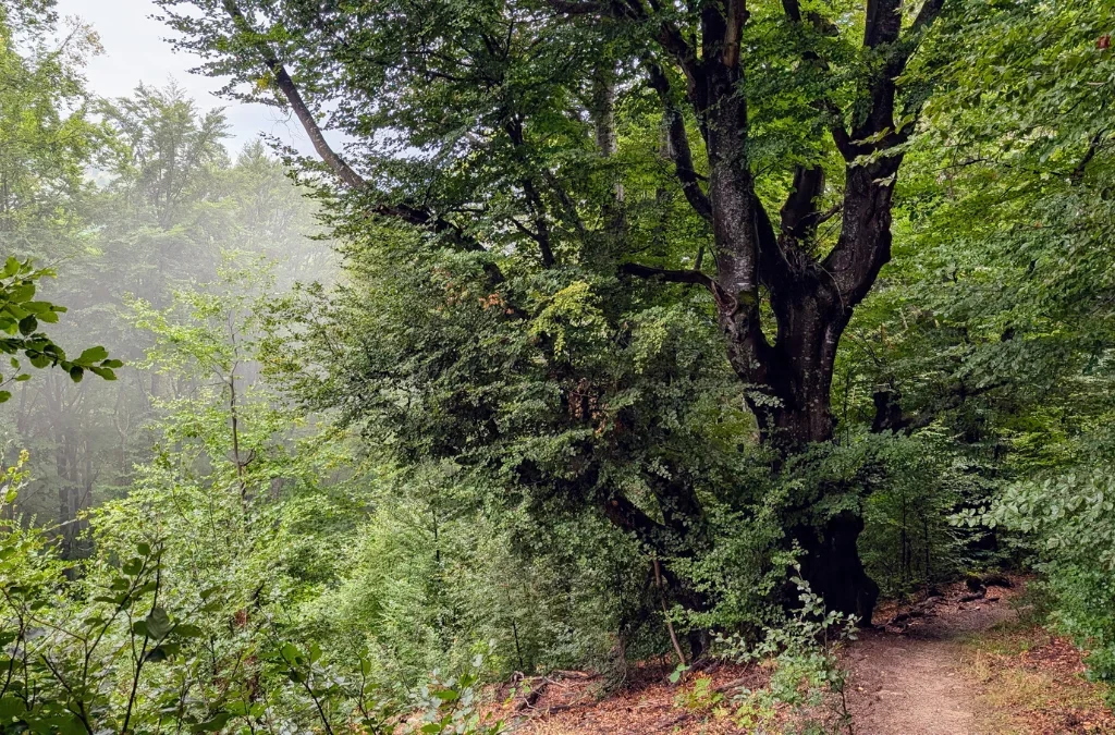
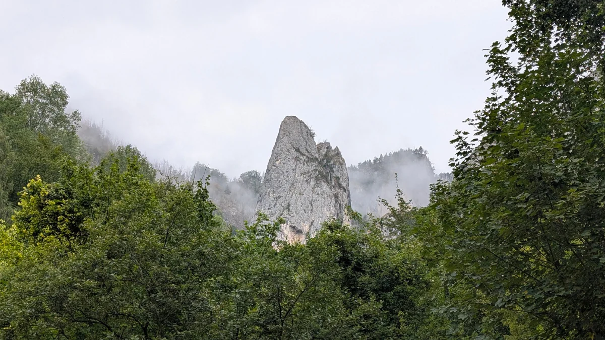
And don’t forget to have your well-deserved meal after the hike, at Punct Gastronomic Local Scarita Belioara. I forgot to photograph the food, but here’s a photo of their guardians.
Add a Comment