
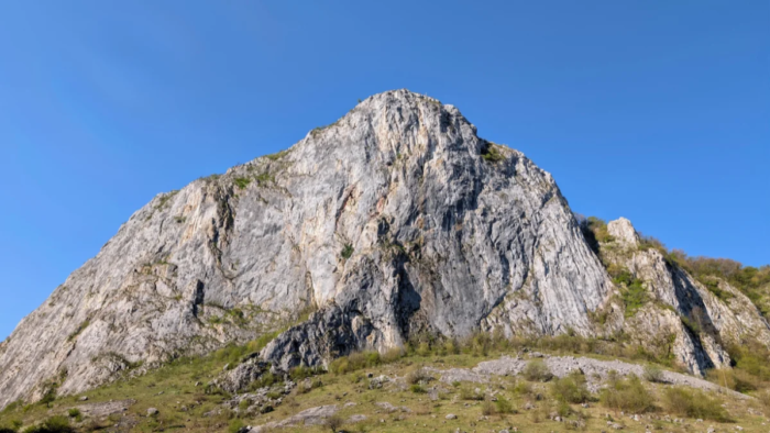
Part of the Carpații Occidentali (the Western Carpathians), Munții Apuseni (Apuseni Mountains) Munții Trascăului.
Parking: You can check this Google Maps Link to see where you can park. It’s not the only option, but from here you can see the arrows for the trails, one for the right side and one for the left side.
Trails: There are two options. You can go right, which has about 500m of altitude difference over 4.2 km. You’ll have to walk a bit on some larger rocks near the start, but after that it’s just a walk through forest and clearings, nothing technical. Or you can go left, toward Vf. Data, which has about 750m of altitude difference over 9.7 km. To reach the Data summit you’ll need to climb on rocks, but there are cables in place to help you stay safe, this is the only technical section; the rest is again forest trail and clearings. There’s only one spring along the trails, and it’s on the left slope. There are a few more nearby, but not directly on either trail, you’d have to go off-trail to reach them.
GPX: I’m sure you can find these on other apps too, but for Romania, the one we use is called Muntii Nostri. Click here for the left side, and here for the right side.
When did we do this trail? We hiked the right slope in April 2026 and the left slope in June 2026.
Trail Facts, Right Slope
| Trail type | loop, right slope |
| Distance | 4,2 km |
| Duration | 3 hours with breaks |
| Elevation gain | ~500 m |
| Difficulty | easy / moderate (short boulder section at the start) |
| Trail marking | red dot marker |
| Highest point | Vf. Bogza Mare, [745 m] |
| Access | near Castelul Templul Cavalerilor, on the Aiud–Buru road |
| Water sources | none on this slope (the spring is on the left slope) |
| Hiked in | April 2026 |
| GPX | Download here (from the 3 dots, on the bottom left side of the screen, choose Download GPX file) |
Valisoarei Gourge (Cheile Valisoarei) – The Right Slope
From the parking lot, you can see the arrows for both slopes, and decide which one you want to take. We started with the right slope.
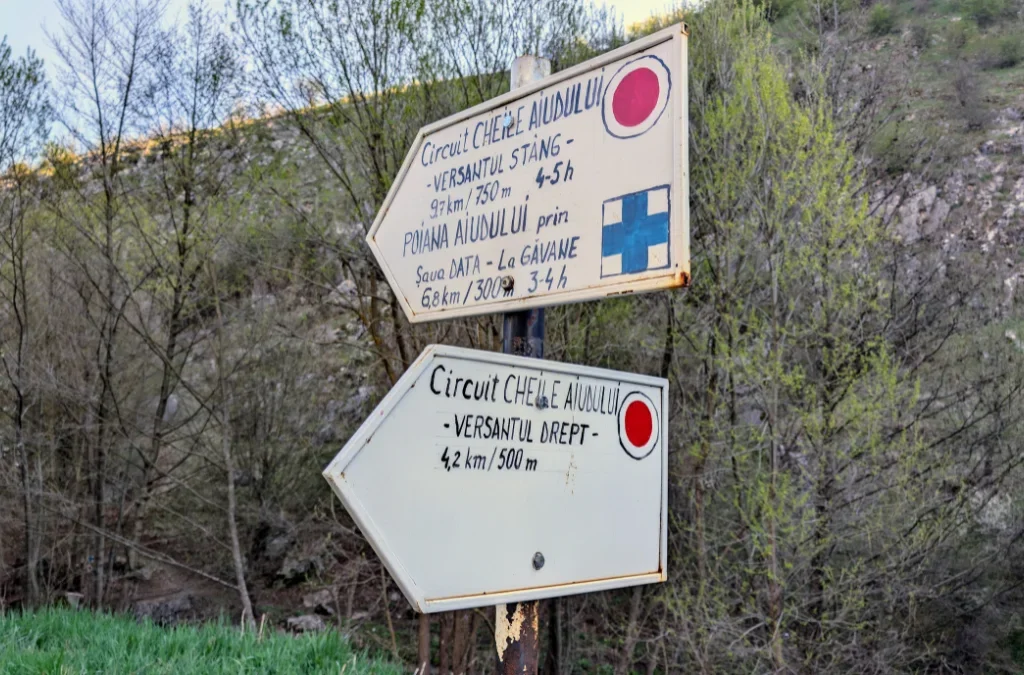
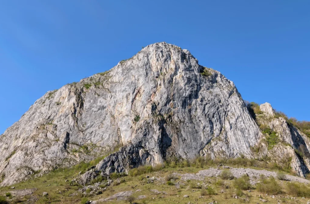
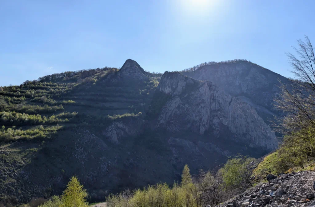
Right from the start, you can appreciate the beauty of the tall cliff faces. We had a beautiful day, so we began the climb. The uphill section can feel a bit tough because of the large rocks and boulders at the beginning of the trail, but it’s a short stretch, and the rocks are stable. In summer, watch out for snakes that come to sun themselves on the rocks, they should be non-venomous hazel snakes (Aesculapian snakes).
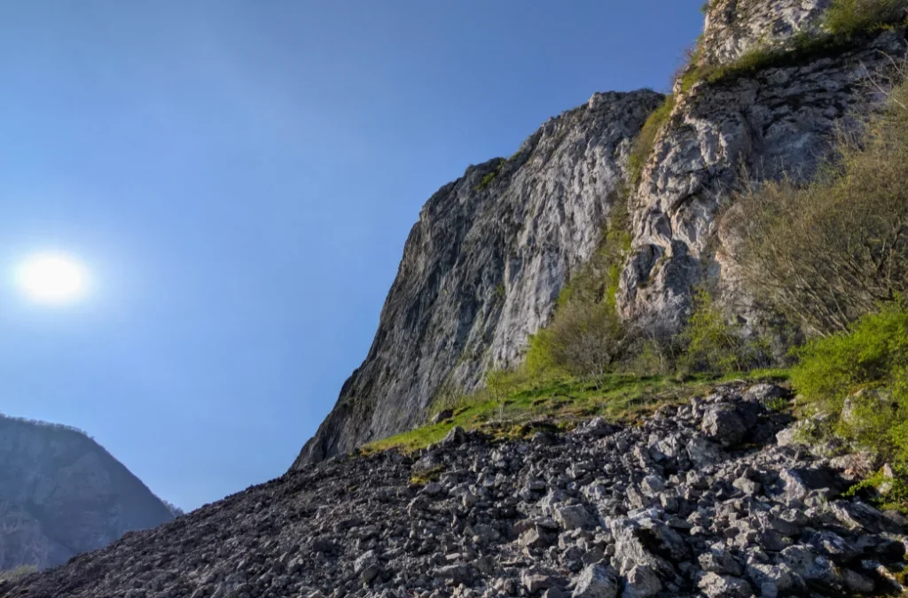
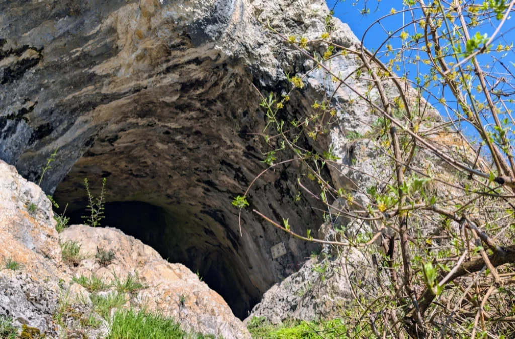
As you continue uphill, you’ll find a cave on the left, Peștera Puculea. You can go inside and take a look.
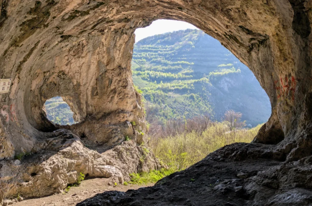
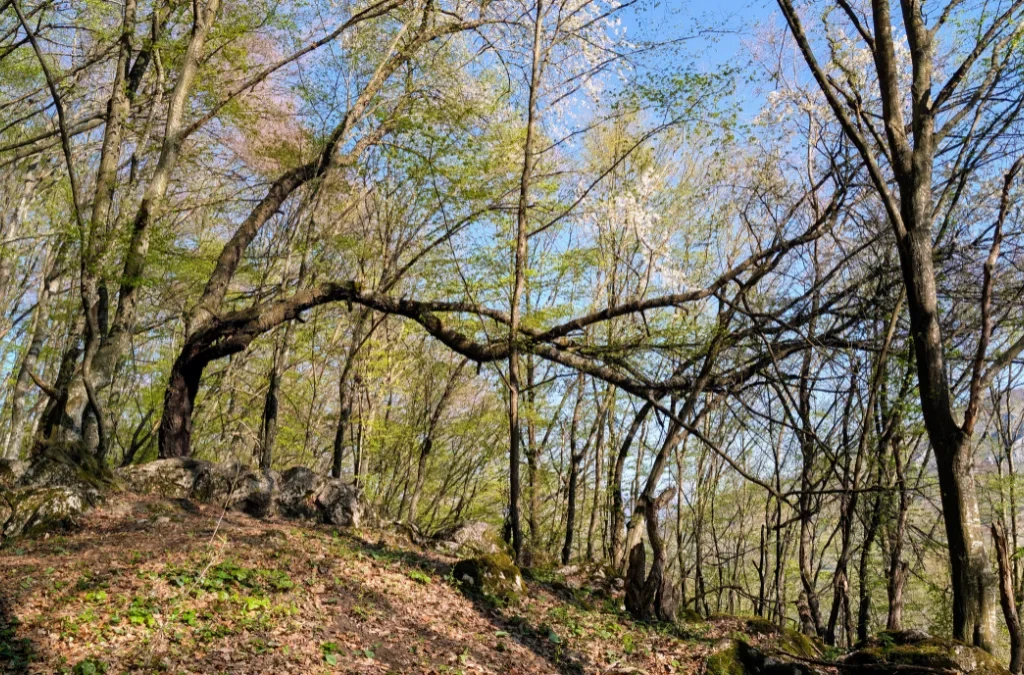
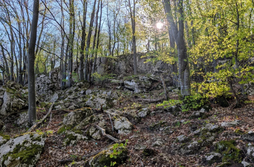
Soon after, we enter the forest, where there’s another uphill stretch. The forest is very welcome in summer, offering shade and birdsong.
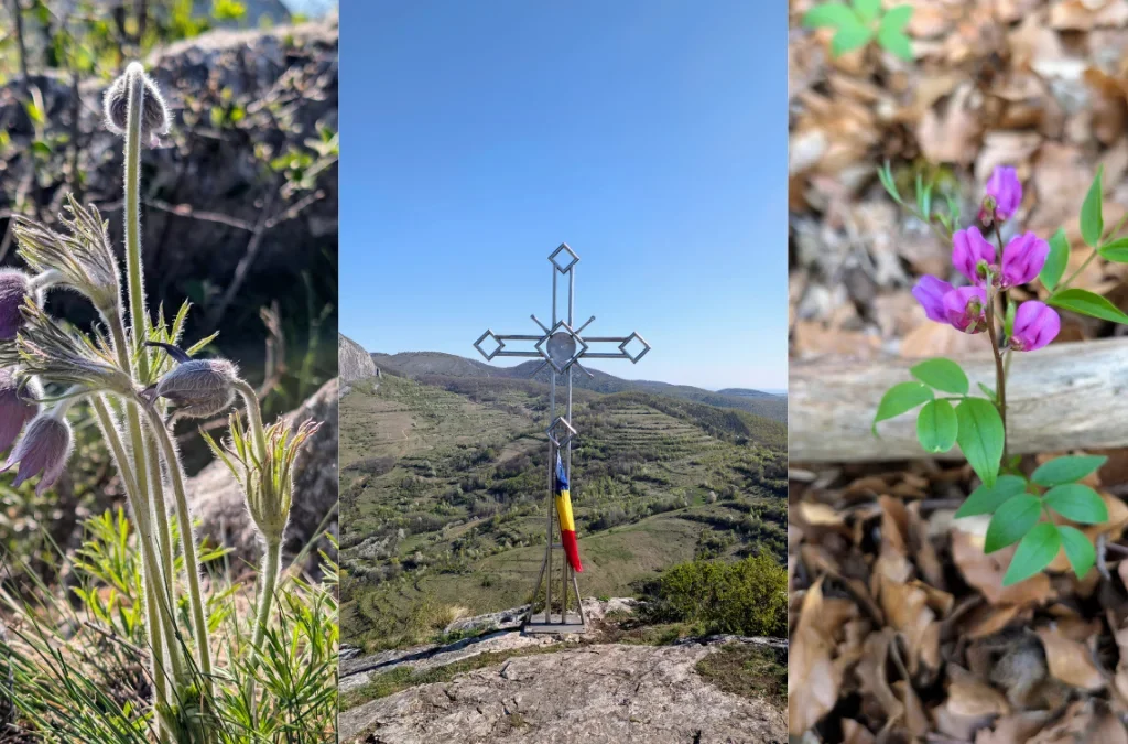
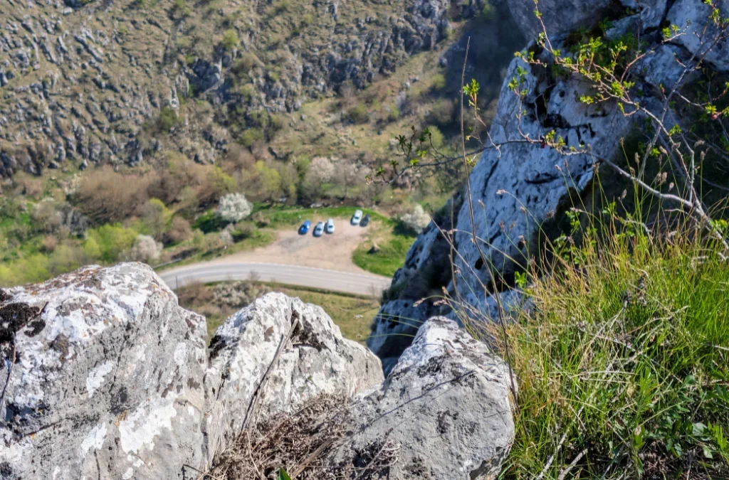
After the forest climb, we reach the summit, Vf. Bogza Mare, marked by a metal cross. From here you get a great view all around, including back down to the parking lot, the view is amazing and well worth the climb.
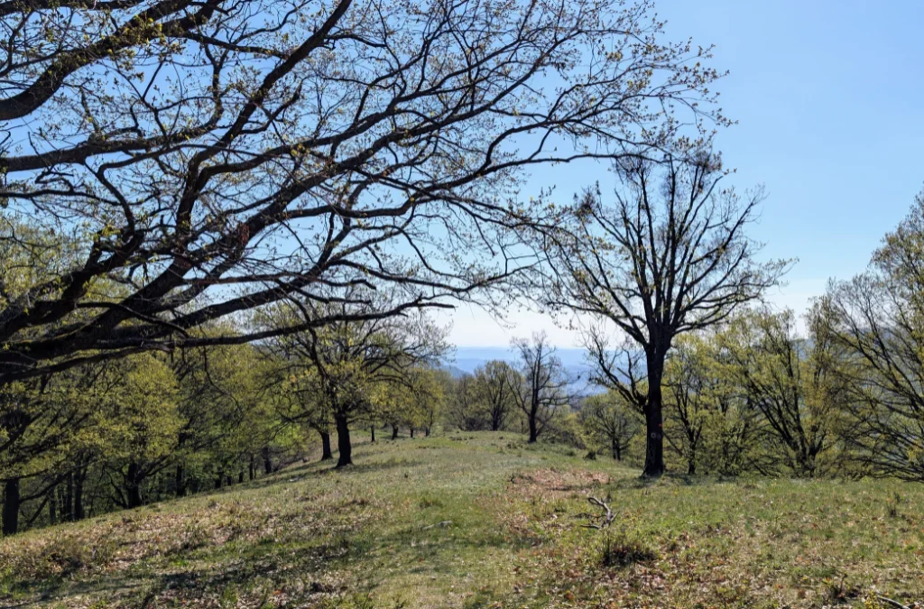
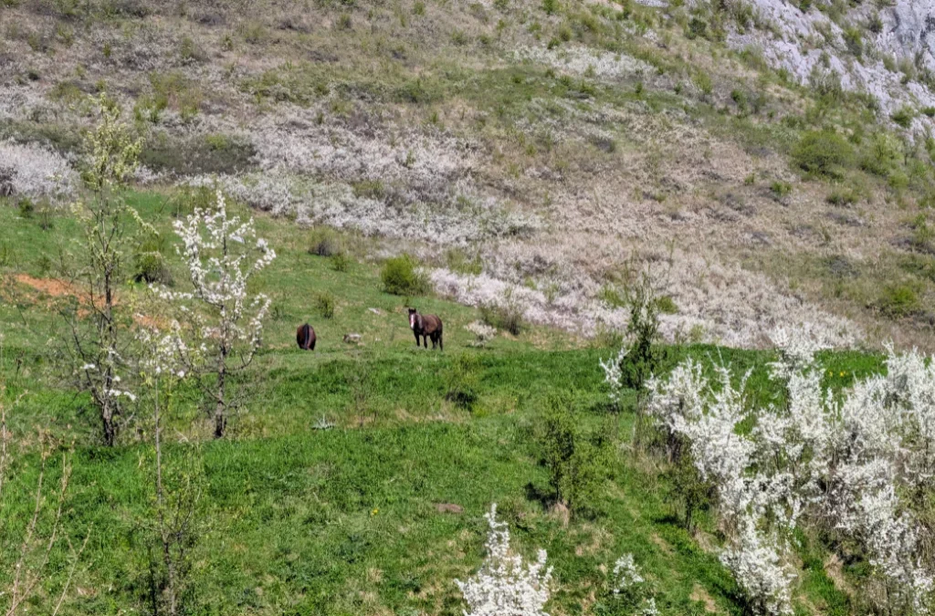
The path then winds through bushes, glades, and patches of forest, nothing technical, a pretty easy hike. Some sections are a bit narrow, so if there are more people on the trail, you might need to step slightly off the path, there’s enough space to do so.
You’ll also get a view toward Castelul Templul Cavalerilor. It’s a restaurant, but also a venue where you can stay or host private events.
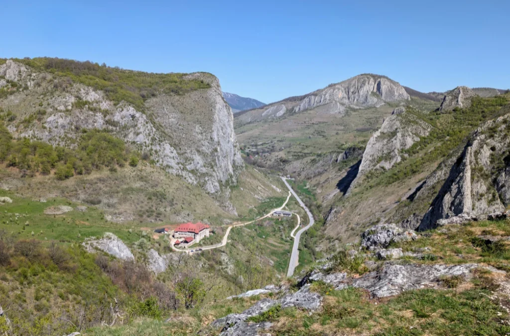
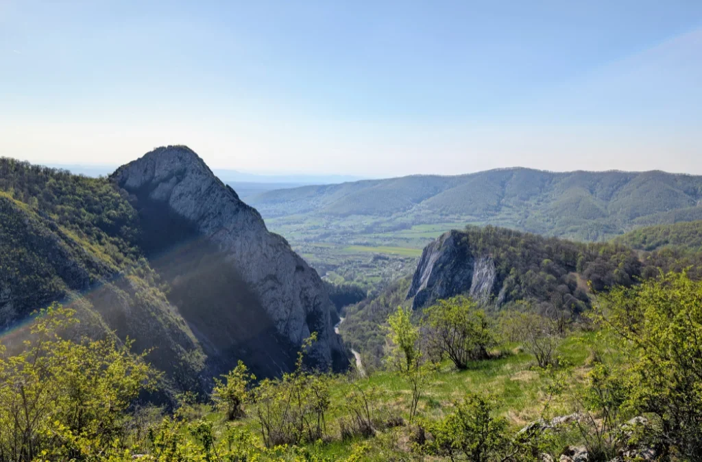
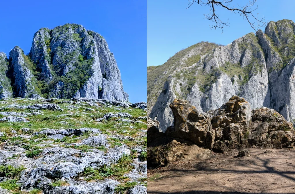
The cliff facing us on the other side of the gorge is simply beautiful.
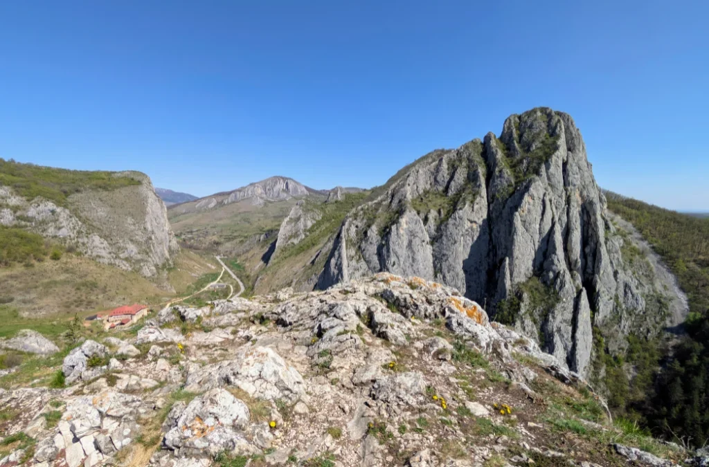
At the end, you arrive back at the road. From here you can head back to your car, as we did, or continue on to climb the other side of the gorge.
Add a Comment