
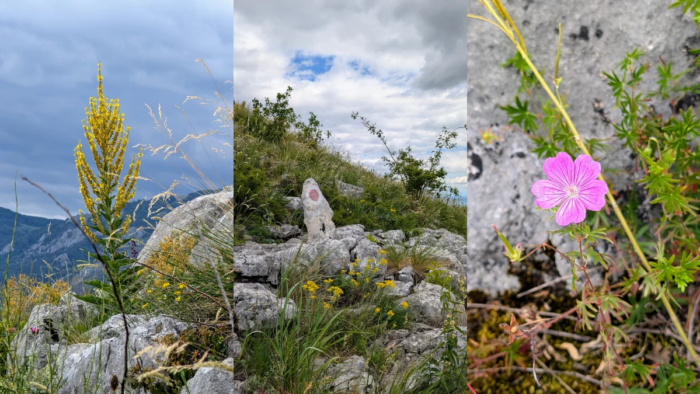
Part of the Carpații Occidentali (the Western Carpathians), Munții Apuseni (Apuseni Mountains) Munții Trascăului.
Parking: You can use this Google Maps Link as a convenient place to leave your car. It’s not the only parking area available, but it’s a good starting point because you’ll find trail signs pointing in both directions.
Trails: There are two main routes to choose from. The right-hand trail gains around 500 m of elevation over 4.2 km. The first section includes a short stretch across larger rocks, but after that the route follows forest paths and open clearings with no technical challenges.
The left-hand trail, which heads toward Vf. Data, covers 9.7 km with approximately 750 m of elevation gain. Reaching the summit requires climbing over a rocky section equipped with safety cables. This is the only technical part of the hike; the remainder follows forest trails and meadows.
There is only one spring located directly along the marked routes, and it’s on the left-hand trail. A few additional springs can be found nearby, but reaching them requires leaving the marked path.
GPX: These routes are available in several hiking apps, but the one we recommend for Romania is Muntii Nostri. You can find the left trail here, and the right trail here.
When did we do this trail? We completed the right-hand trail in April 2026 and the left-hand trail in June 2026.
Trail Facts, Right Slope
| Trail type | loop, left slope |
| Distance | 9,7 km |
| Duration | 4 hours with breaks |
| Elevation gain | ~750 m |
| Difficulty | moderate |
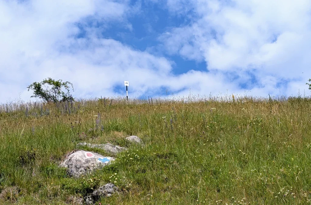
| Trail marking | red dot marker |
| Highest point | Vf. Data, [884 m] |
| Access | near Castelul Templul Cavalerilor, on the Aiud–Buru road |
| Water sources | one spring, going up to Vf. Data |
| Hiked in | June 2026 |
| GPX | Download here (click the three dots in the bottom-left corner and choose “Download GPX file”) |
Valisoarei Gourge (Cheile Valisoarei) – The Right Slope
This time we parked closed by Castelul Templul Cavalerilor. There’s a nice picnic table carved from a large rock, plus a few benches where you can sit and have a sandwich. It’s close to the river too, and since I really liked this spot last time we were here, that’s why we chose to park here again. From there, we walked along the edge of the road to the trailhead, where you can see the arrows pointing to both the left and right slopes. Today we took the left one.
We’d also hoped to continue on to La Găvane the same day, but the weather turned, it got quite cloudy, and since there are several sections where you’re walking over rock, we didn’t want to risk it if the rocks got wet.
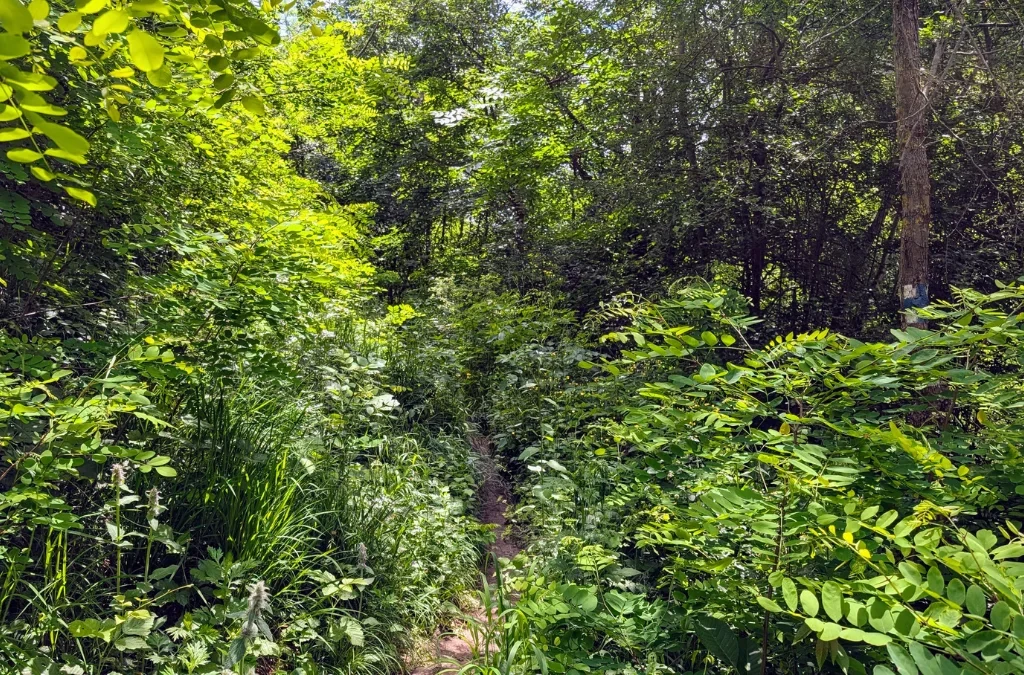
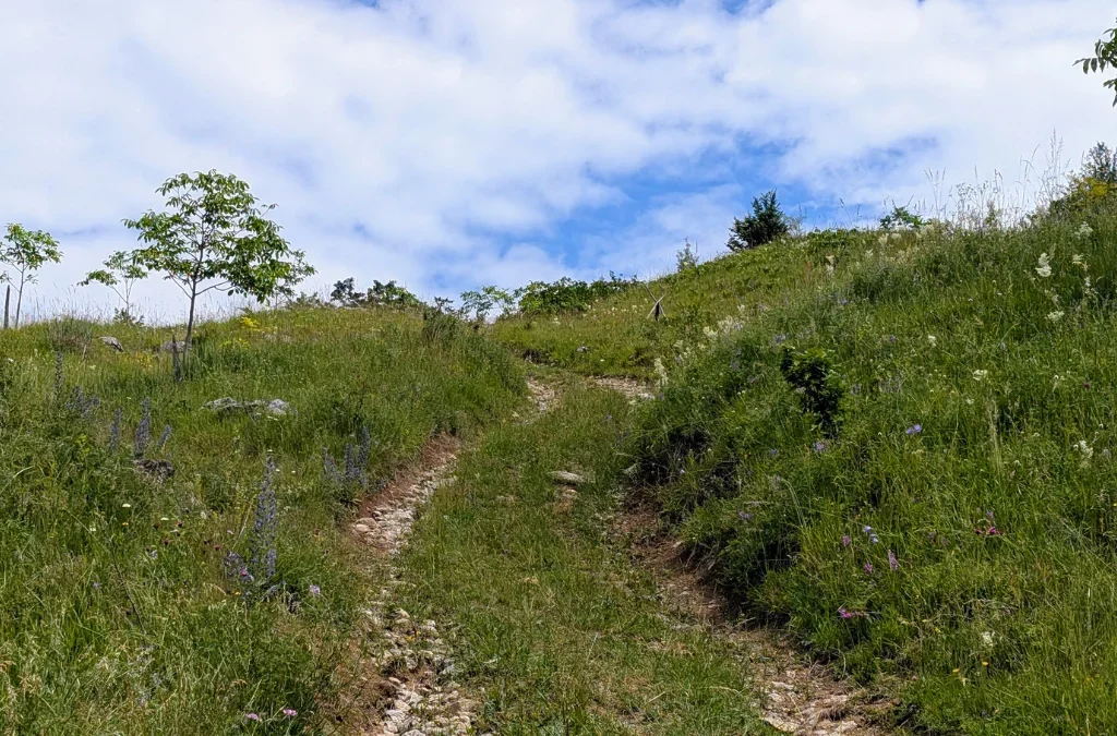
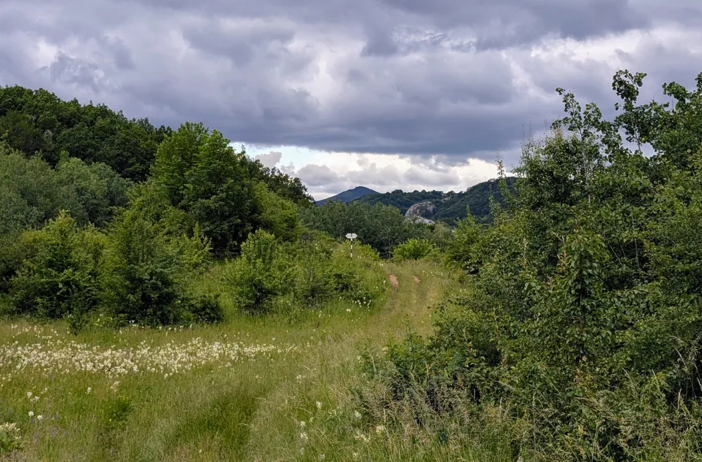
The trail starts by crossing the river, shallow and narrow, so nothing to worry about, before entering a small patch of forest and opening back up. The greens everywhere were beautiful.
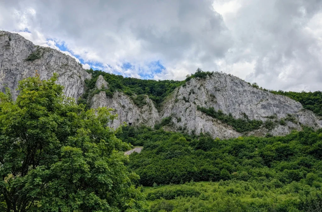
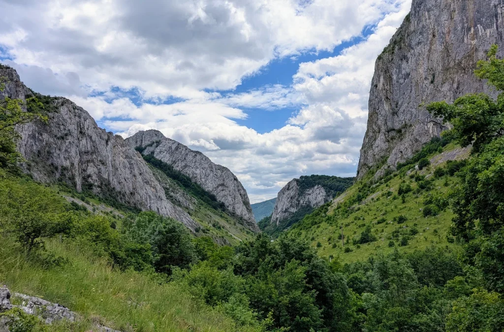
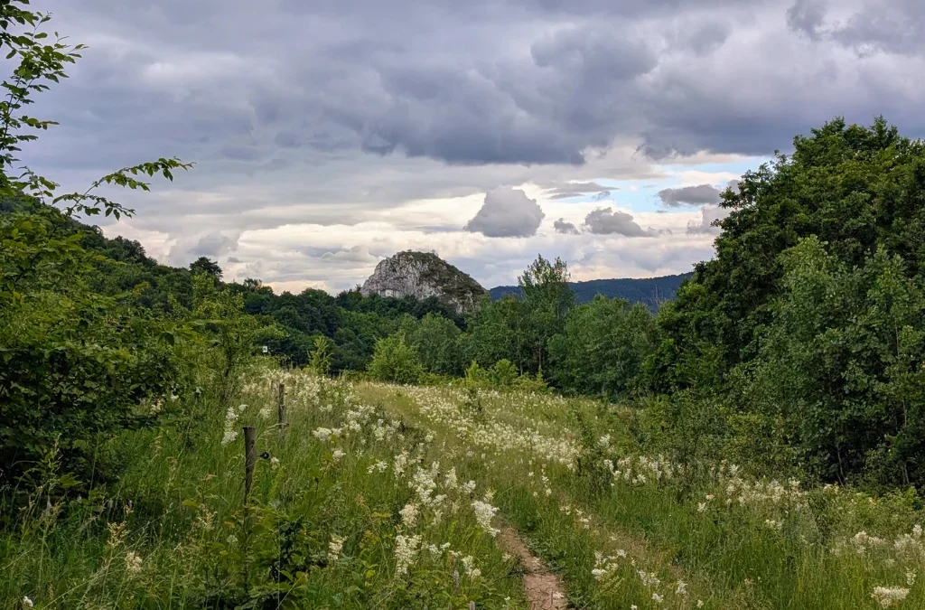
Once we came out of the forest, we could see the left side of the gorge, and, to my surprise, Castelul Templul Cavalerilor as well. From everything I’d seen online, I’d assumed you could only view it from the right slope.
We picked a great time to go, as the trail was covered in wildflowers, and everything felt so full of life.
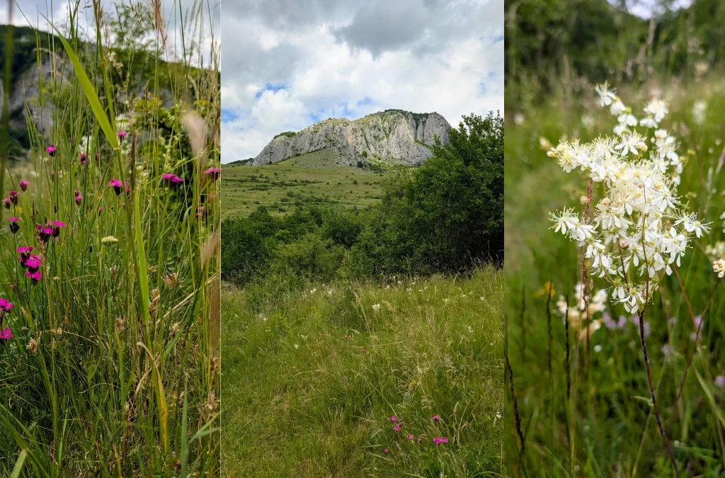
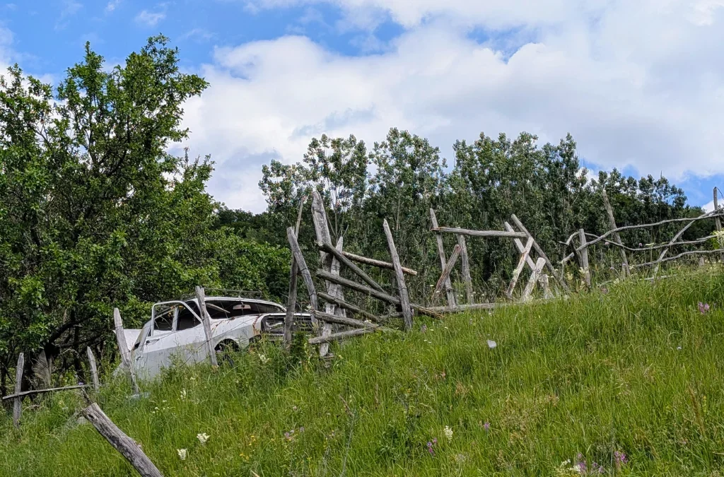
One of the nicer surprises was stumbling across an old Dacia parked right on the trail, I loved that little surprise. And let’s not forget the wild strawberries: there were so many along this trail in mid-June, when we hiked it.
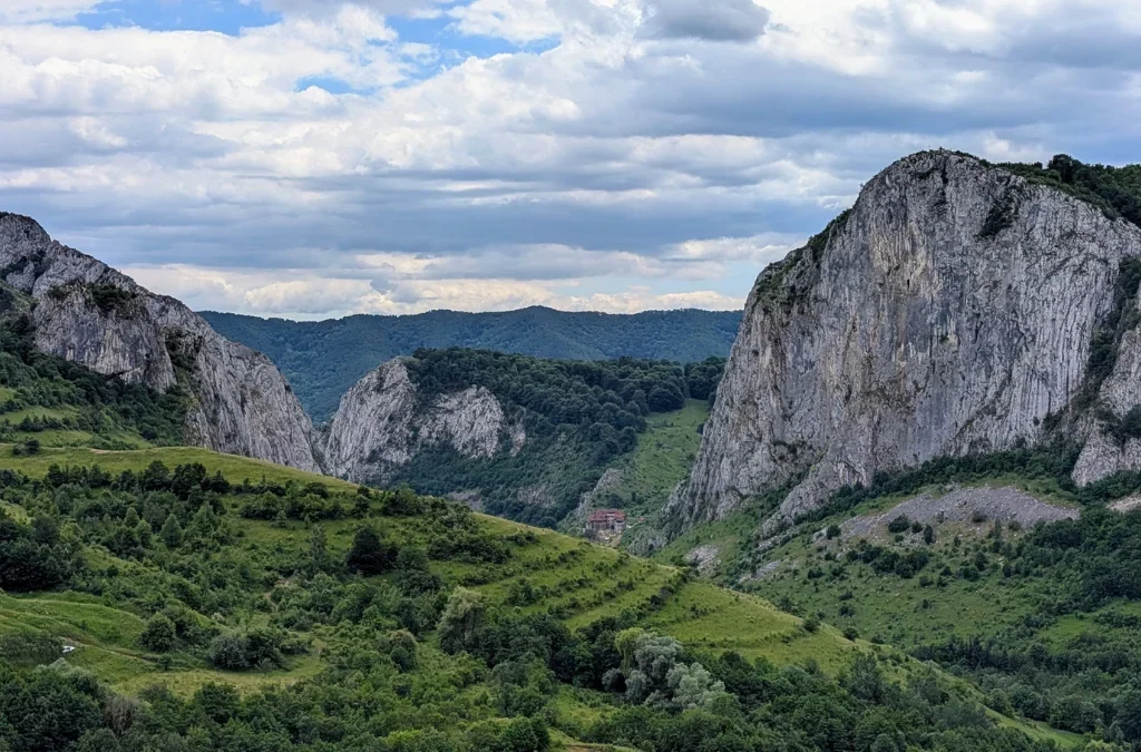
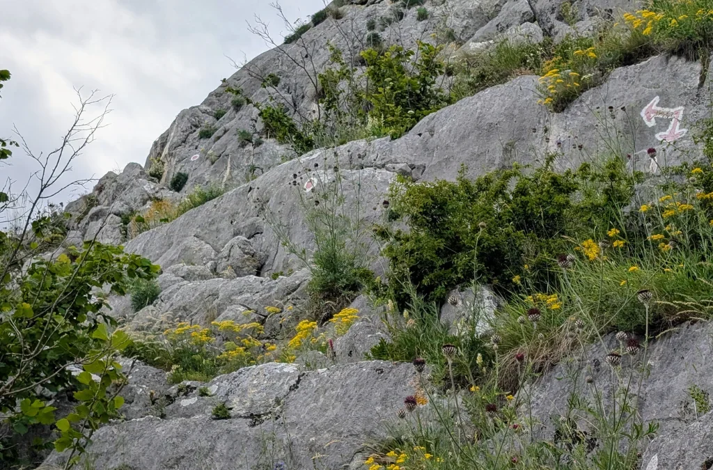
As we got closer to Vf. Data, we reached the only technical section of the trail: a rocky climb along the cliff side, with chains fixed in place to help you up. It was awesome, and just the right amount of adventure for this hike.
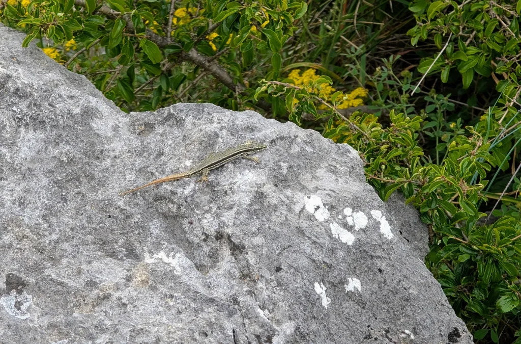
We also spotted a nice lizard along the way.
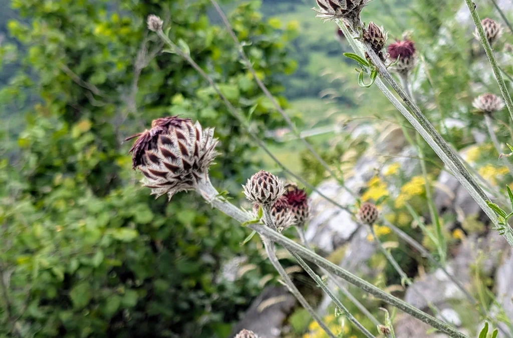
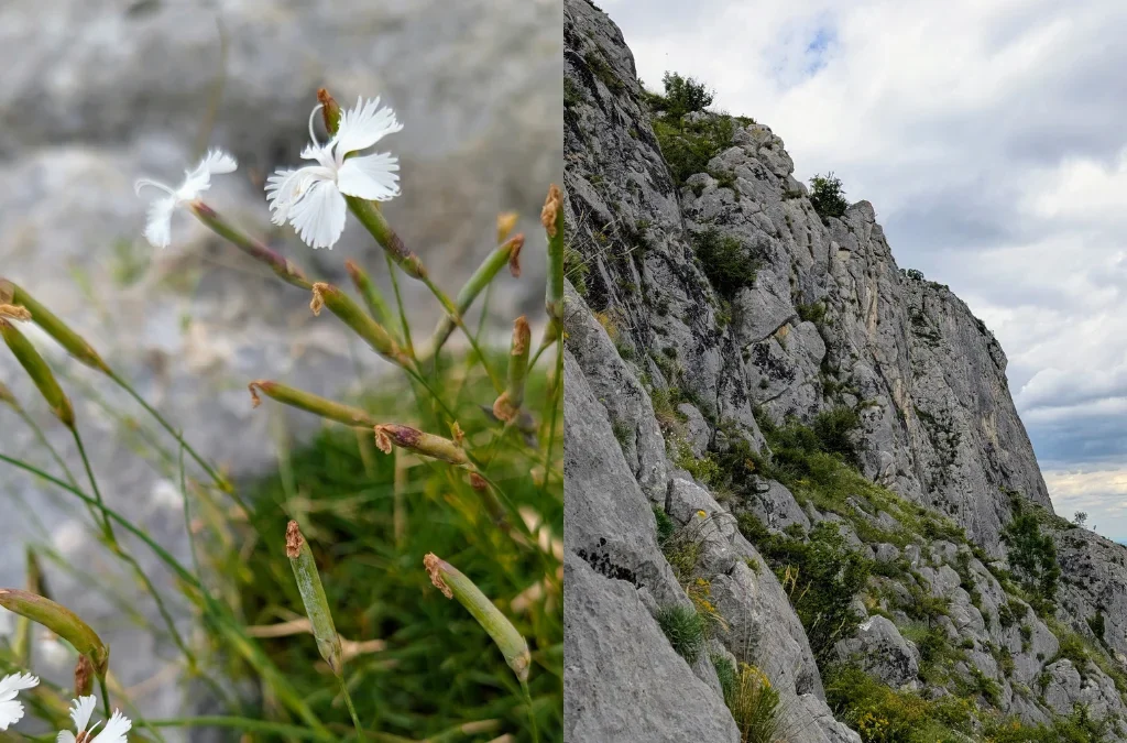
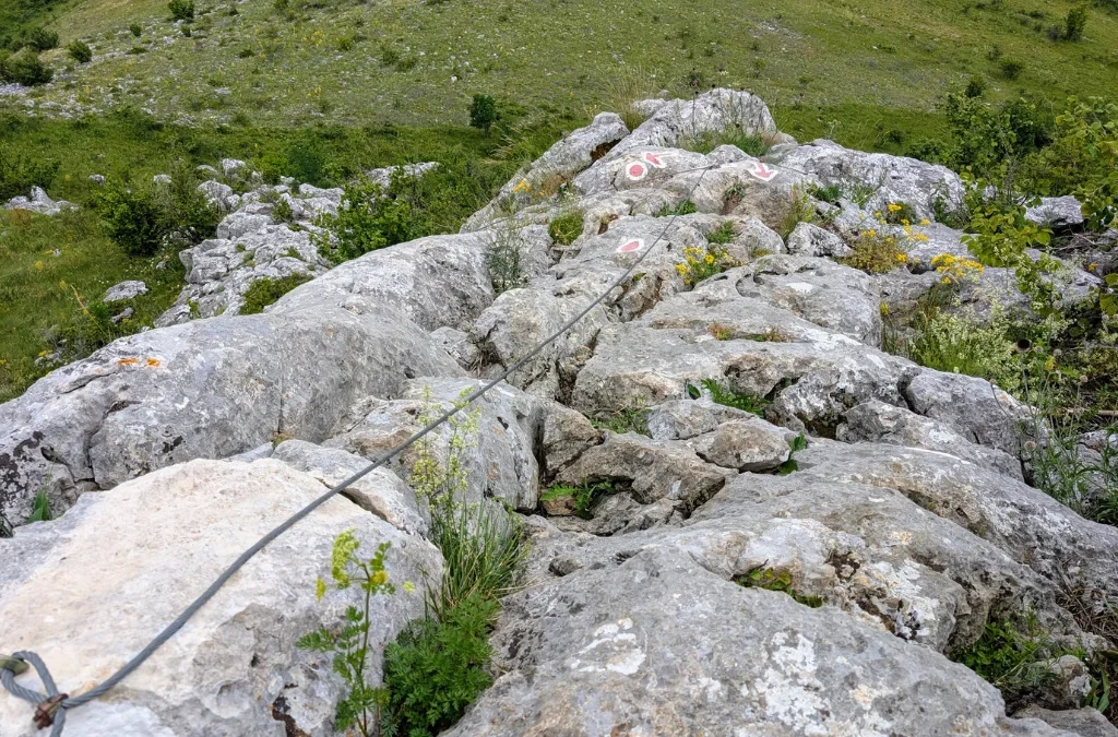
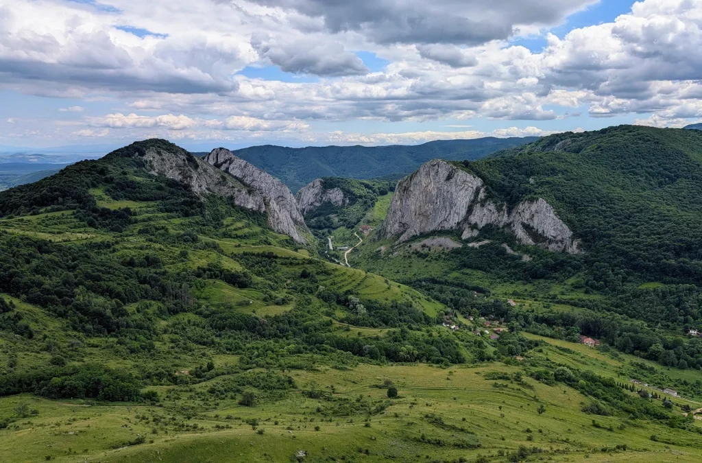
Vf. Data doesn’t have a clear summit marker. We believe this is roughly the spot, a rock that faces a different direction and stands out a bit from the rest. From up here, on a clear day, the view opens out toward the Trascău depression, with Cetatea Colțești (the Trascău Fortress) visible in the distance, a nice reward after the climb.
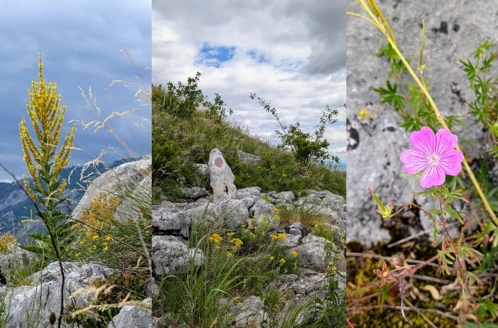
After that, the trail heads back into the forest, part of a protected stand of pubescent oak that grows along this stretch of the gorge.
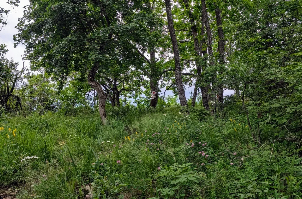
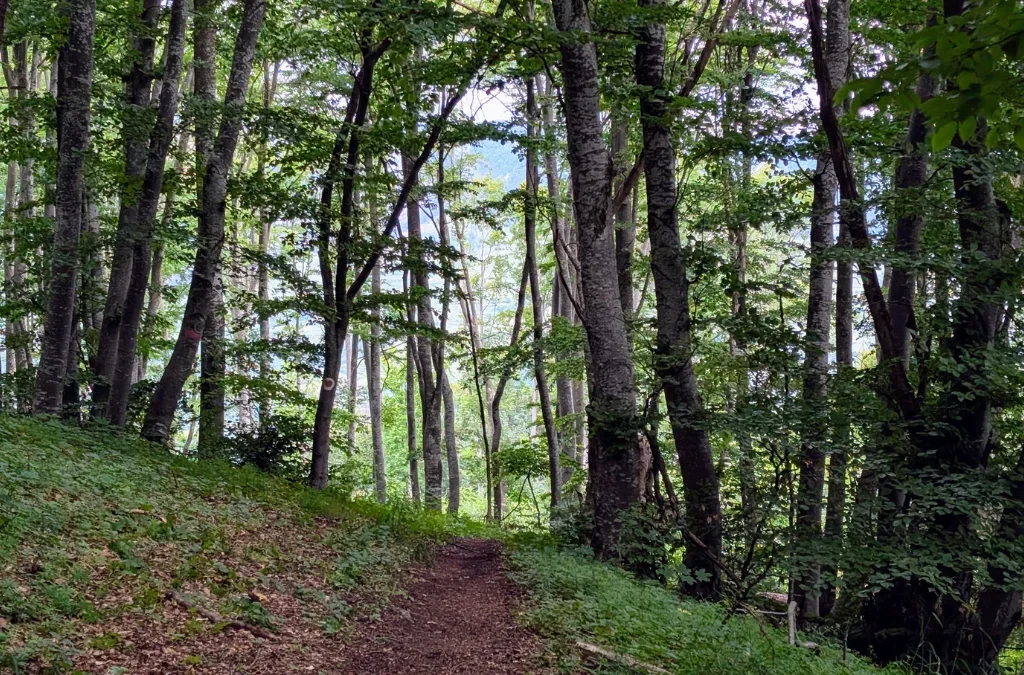
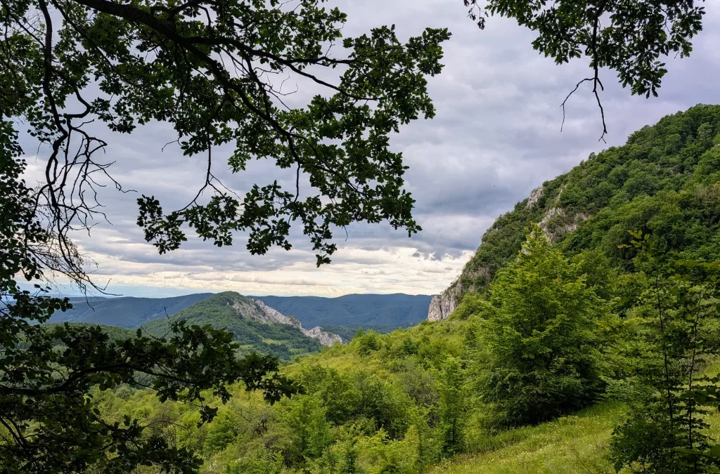
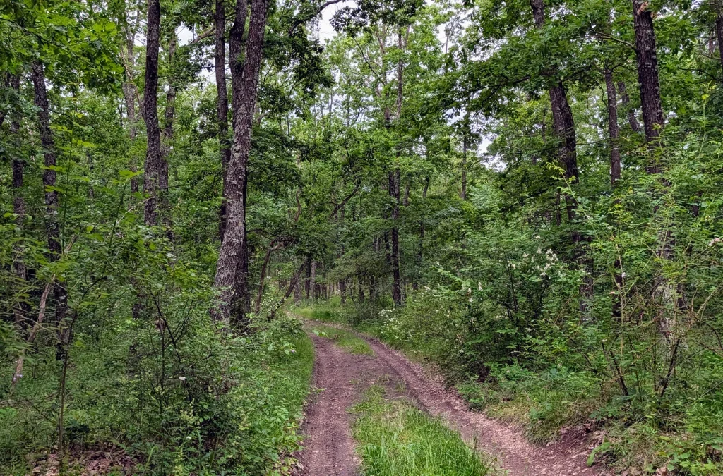
From here, you can pick up the blue cross marking to continue on toward La Găvane. Since the sky had gotten darker, we decided to cut our hike short and skip the last hill, taking a path back to the trailhead instead.
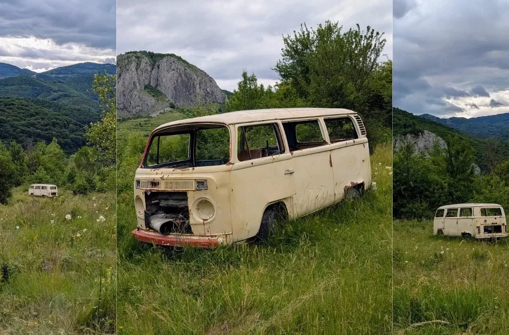
Turned out to be a great call, because it led us past another old car, a Volkswagen T1 this time, my favorite. I really love old, retro cars, and this one and the old Dacia 1310 might be tied for my top spot.
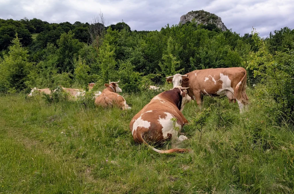
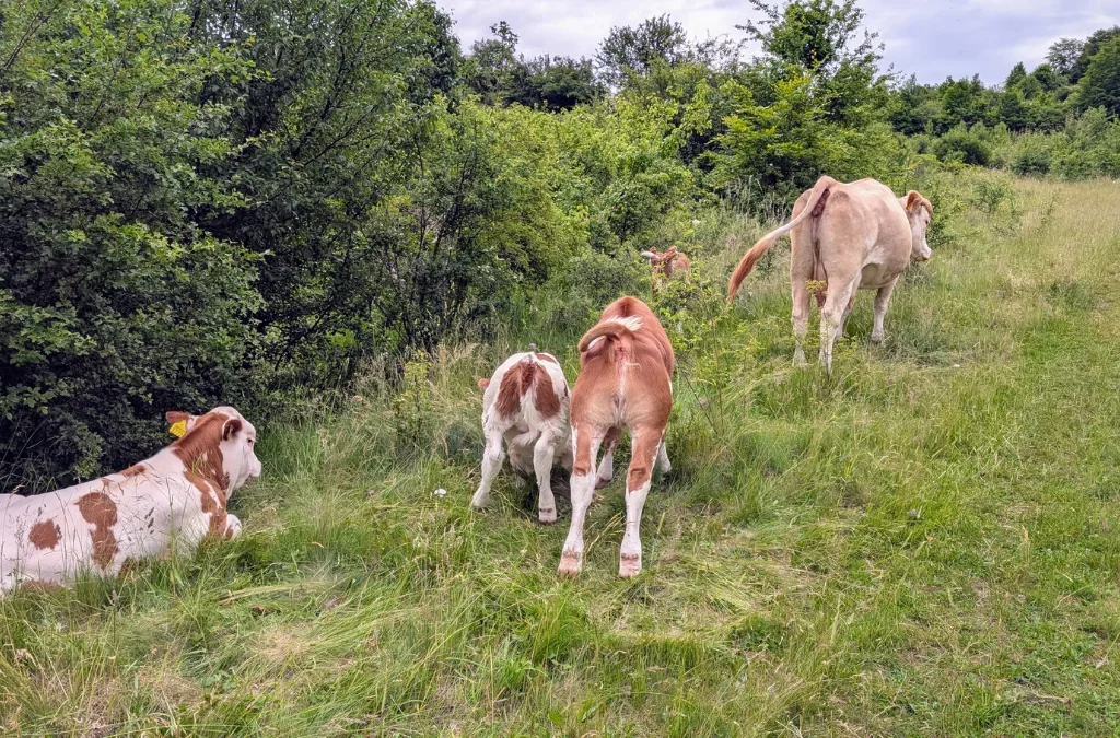
We also had to walk between a small herd of cows, and yes, I’m afraid of cows. Even though they’re cute, I still find them big and scary. Not as scary as shepherd dogs, mind you, but still.
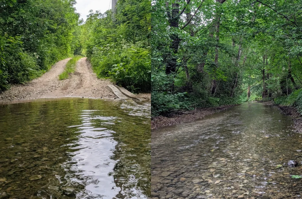
Because we took a wrong turn, we ended up on a flooded stretch of road and actually had to wade through a small stream to get back to the main path. Still, this was a great hike, so many wildflowers, and the climb up to Vf. Data was so much fun that I want to do it again.
Add a Comment