
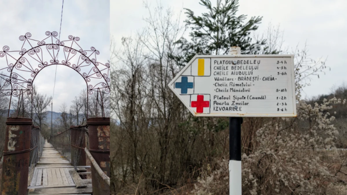
Part of the Carpații Occidentali (the Western Carpathians), Munții Apuseni (Apuseni Mountains) Munții Trascaului.
Parking: We parked the car in what I think is a bus stop in Salciua de Jos. It’s right across the road from the bridge where the trail starts. You can check the spot on Google Maps here.
Trail: We started the trail from Salciua de Jos. From there, we wanted to see Poarta Zmeilor (Red Cross marking), but I think I got the GPX slightly wrong, so we never made it there. We climbed through the forest, at one point you can see the Șipote Waterfall from above, though we skipped it, and continued climbing until we reached the Bedeleu Plateau, La Balcon. From there, you could also see Poarta Zmeilor, but again, we missed it since I hadn’t added it to my GPX. My mistake.
We then continued through forests and meadows (switching to the blue line marking), where at some point two dogs appeared out of nowhere and joined us for part of the hike. Eventually we started descending, following the blue line, all the way down to the Dalbina Waterfall. From there it was a short climb back up to the plateau, and then, following the blue cross marking, downhill through the forest until we reached the Huda lui Papara cave. You can’t go inside this cave, but you can see the entrance. It sits on private land, though the owner had no issue with us walking up to take a look. From there, instead of continuing to Mănăstirea de Sub Piatra (red triangle marking) and looping back to the car that way, we headed straight back to the parking spot on the blue cross trail, I was a bit tired, and that alternate route would have added about 100 m of extra elevation gain.
GPX: I’ll share the hikes as listed on Muntii Nostri, along with a link to the GPX track I made in Garmin Connect: Sălciua de Jos – Peștera Poarta Zmeilor , Platoul Bedeleu – Vânătările Ponorului, Pestera Huda Lui Papara – Sălciua de Jos. Keep in mind that these are full trails, and we only hiked portions of each one. And here is my GPX link. My GPX will take you back on the Red Triangle, next to the Manastirea De Sub Piatra.
When did we do this trail? We completed it in March 2026.
Trail Facts
| Trail type | loop |
| Distance | ~23 km (my fitness watch tends to add extra meters during breaks, since I don’t use the pause function, so the real distance is probably a bit shorter) |
| Duration | 9:30 hours with breaks |
| Elevation gain | ~ 1,211 m |
| Difficulty | Easy to moderate (because of the distance, nothing technical) |
| Trail marking | Red Cross, Blue Line, Blue Cross markers |
| Access | From a parking space |
| Water sources | We didn’t use any, but I believe there are a few along the way |
| Hiked in | March 2026 |
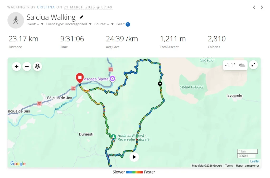
Above, you can see a screenshot of my activity. I’m using a Garmin Vivoactive 5, and I really like the watch, my only complaint is the extra distance it logs during breaks, since sitting down for a sandwich still counts as “movement” apparently. I know I could use the auto-pause feature, but I don’t like it, because on slow, steep climbs it sometimes thinks I’ve stopped moving. So that’s just how it is. Honestly, it doesn’t bother me much, but consider it a heads-up, the real distance may be a little shorter than what’s listed above.
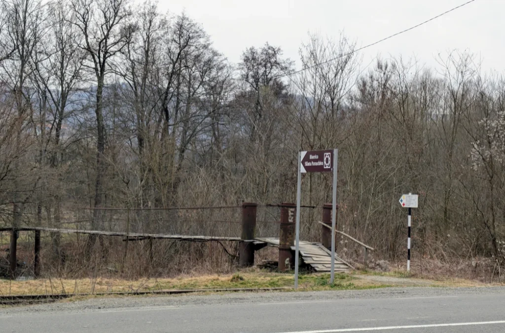
After parking on the other side of the road from where the hike begins, we could easily see the bridge we needed to cross, along with trail markers and some information about the routes starting from here.
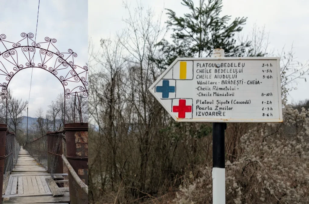
We began the hike on the red cross marking, aiming to see Poarta Zmeilor. I always make a GPX track in Garmin Connect beforehand, since it makes it easier to stay on course, the markings can sometimes be faint or hard to spot, so this is just what works best for us.
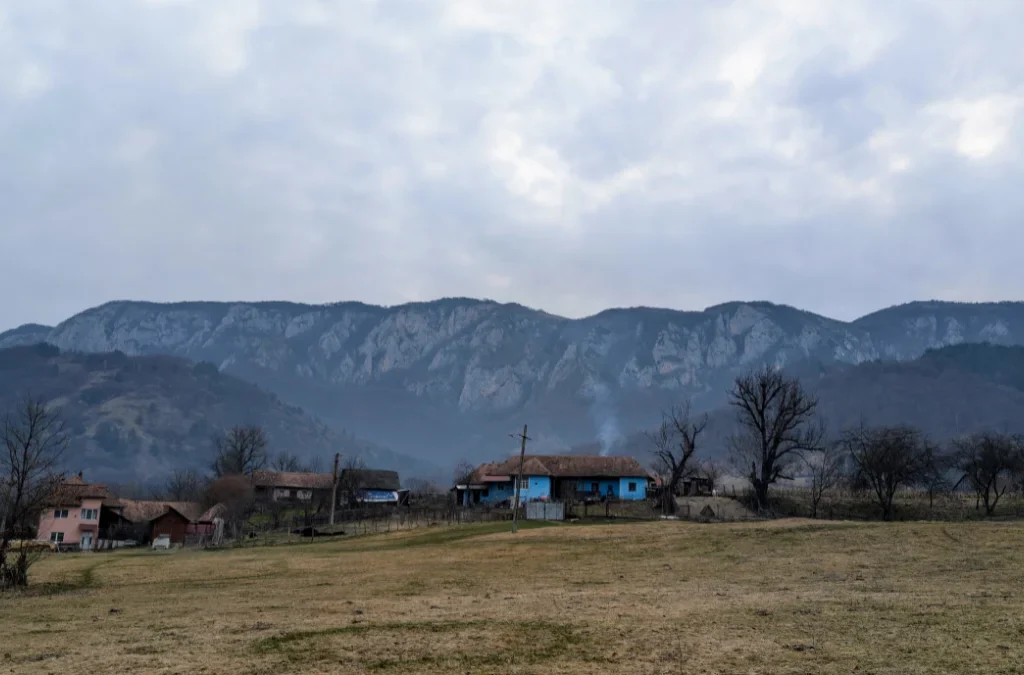
After crossing the bridge, we walked through a small clearing with houses just starting their day, framed by beautiful mountain views. You do have to walk a little through this small village before actually reaching the start of the forest trail.
The trail properly begins after a second, smaller bridge, then climbs uphill into the forest. On our way, we were greeted by all kinds of wildflowers, which I happily stopped to admire and photograph. Fair warning: the flowers really steal the show in this post, since I didn’t take many photos of the trail itself.
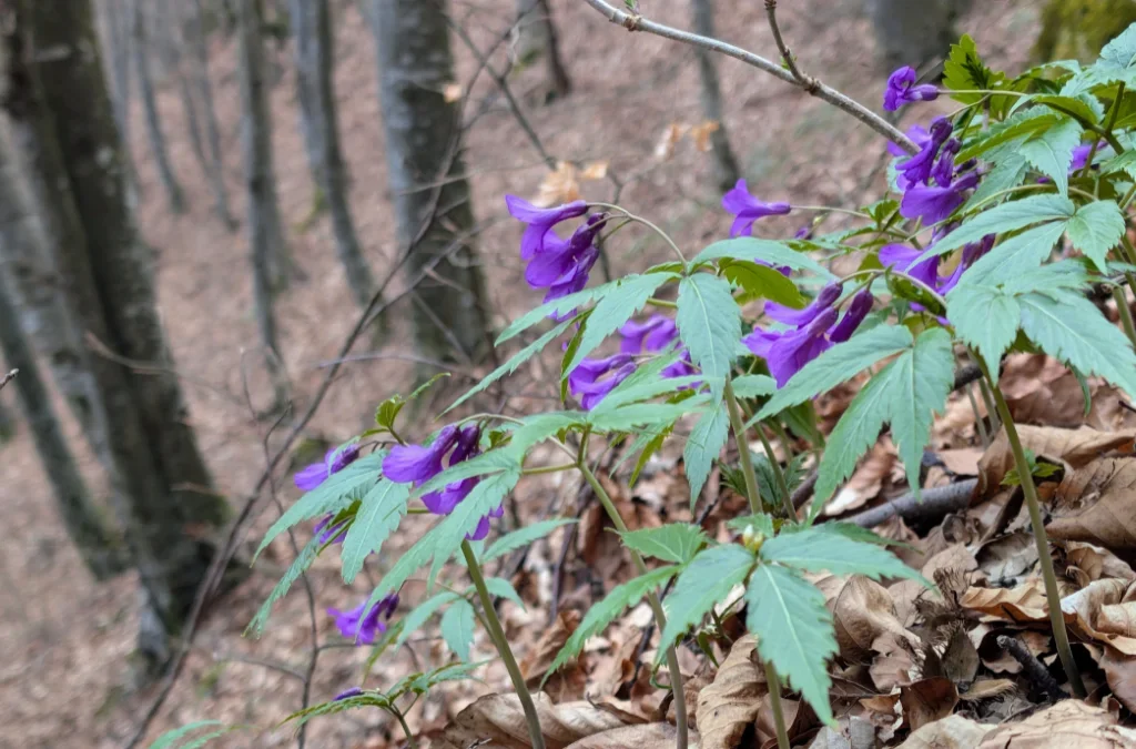
I’m no botanist, but according to Google Lens, this plant is Dentaria glandulosa. All I know is that there were flowers everywhere on this hike, and I love stopping to look at and photograph them.
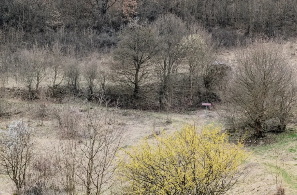
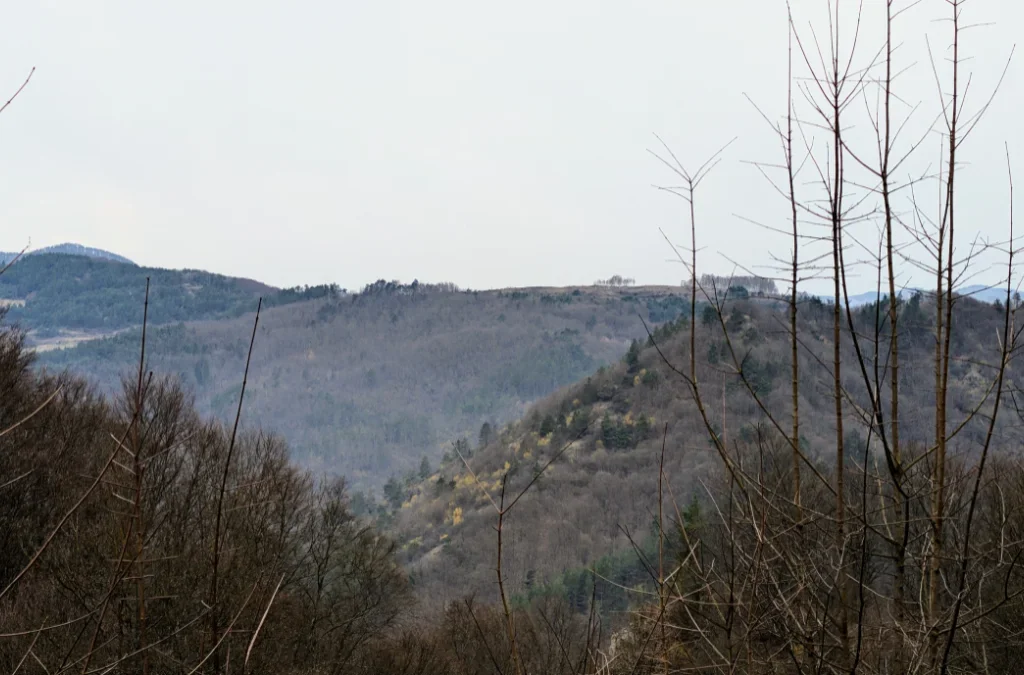
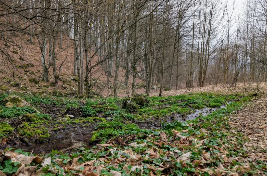
The trail winds through forests and clearings, and from some of these open patches you get lovely views of the surrounding hills.
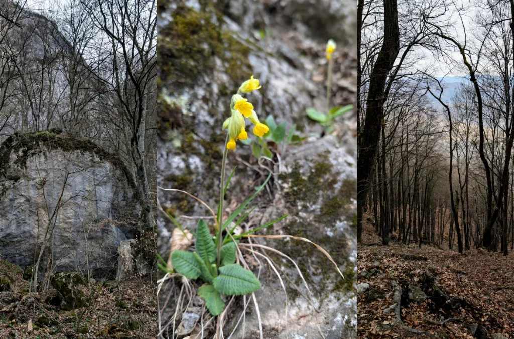
This pretty yellow flower should be Ciuboțica-cucului (cowslip).
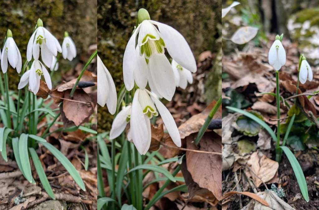
We also spotted so many snowdrops, such a nice surprise. Around this point, I kept thinking about a different hike I wanted to do, one known for a particular species of snowdrop that supposedly blankets the whole area. Turns out some sections of this hike gave us exactly that experience, with snowdrops all around us.
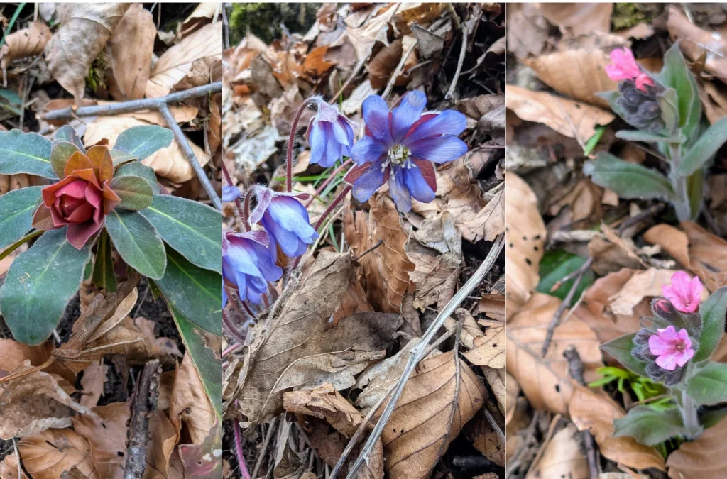
From left to right here: I couldn’t confidently identify the first one, but the other two should be Crucea voinicului and Plămânărică (lungwort).
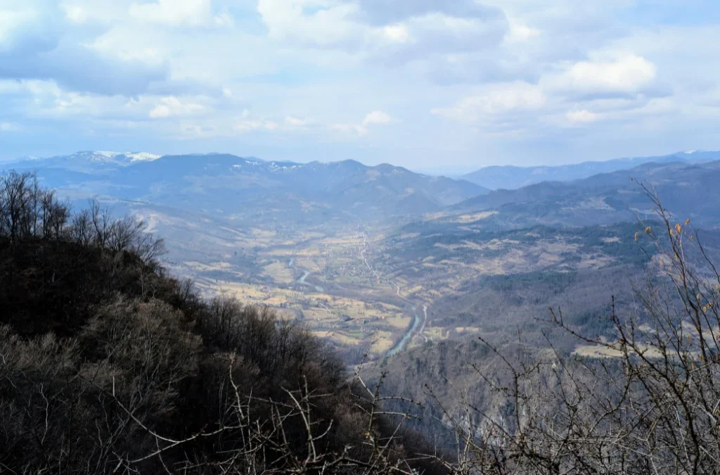
After a long uphill stretch, we finally got closer to Balconul Bedeleu, where the view over the valley is absolutely stunning. And yes, I did scan the horizon trying to spot where we’d parked the car, that’s one of my favorite things to do whenever there’s a good vantage point over the area.
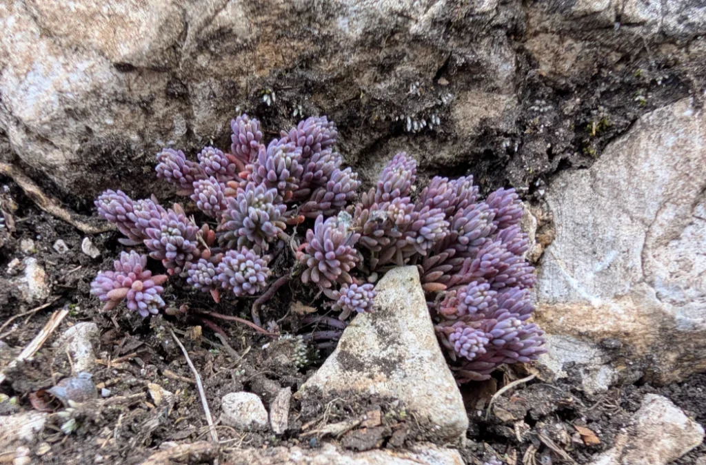
This one should be Sedum hispanicum.
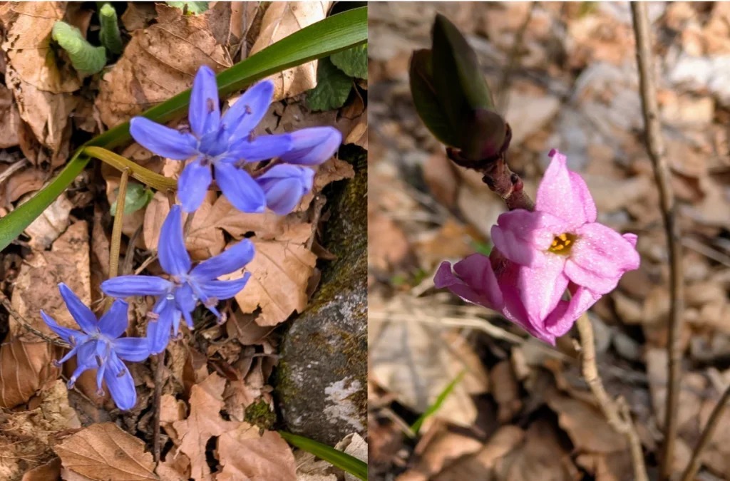
Here we have Scilla and Daphne mezereum, also known as wild lilac. This was the first time I’d ever seen wild lilac, and I fell completely in love with it, the color, the shape, and that amazing floral scent.

I don’t have a great photo of Balconul Bedeleu itself, but this is the view you get from there, looking down into the valley.
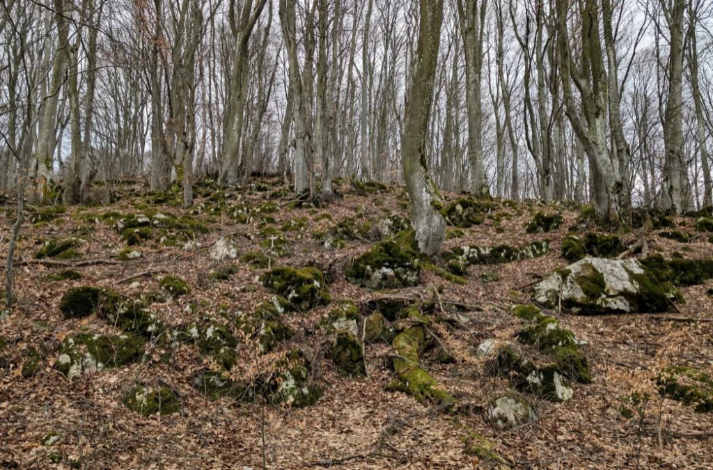
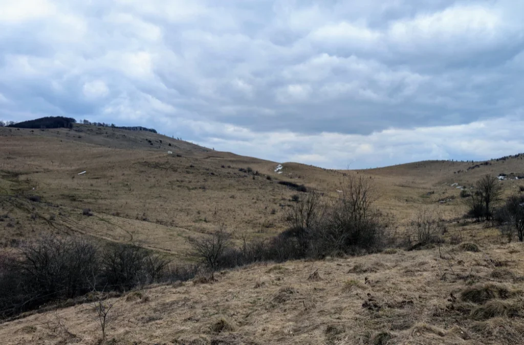
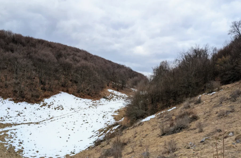
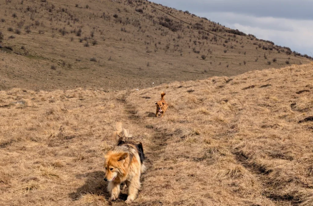
The hike continues through forest and clearings, where we started running into patches of snow. This is around where we switched to the blue line marking, heading toward Dalbina Waterfall. Shortly after, two dogs joined us out of nowhere. One stayed close by, sticking around during our breaks, while the other just went about his own walk, barely paying us any attention. They stayed with us for part of the hike, until we reached a plateau where a side trail leads to the waterfall.
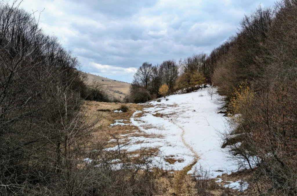
We spent a good stretch of the hike crossing this plateau.
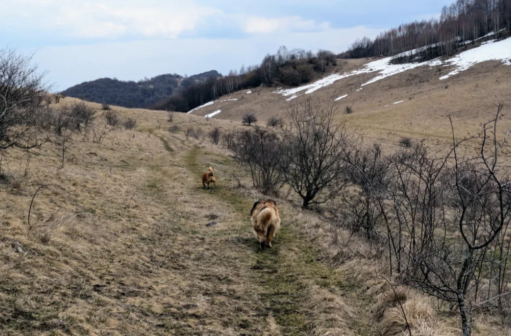
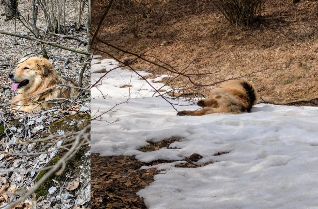
And now, it’s time for everyone to meet these adorable dogs. Just look at those cute faces (and backsides).
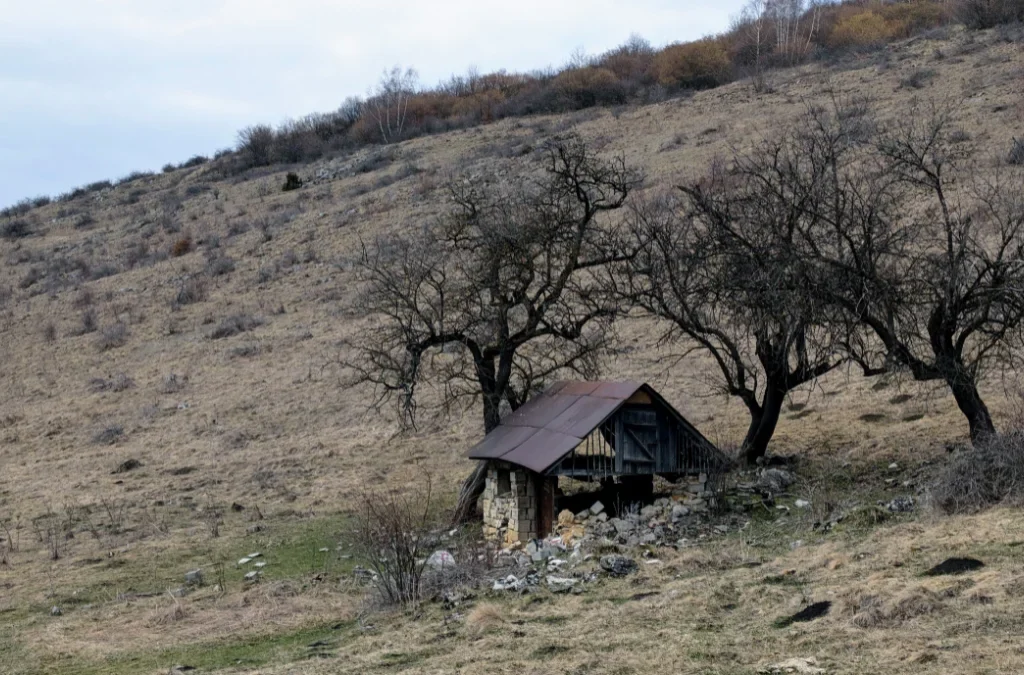
We also came across this old structure standing alone in the field.
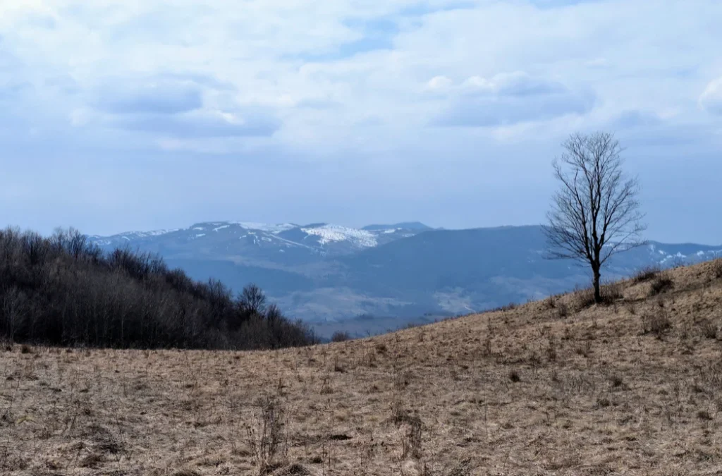
And of course, let’s not forget the views. I love seeing snow, and the mountain peaks dusted in white looked absolutely beautiful.
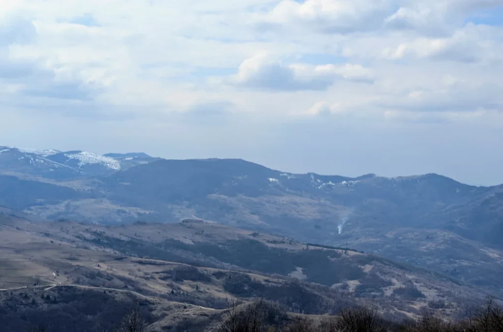
I wasn’t the only one enjoying the snow, either, this dog was having the time of his life on a small snow patch.
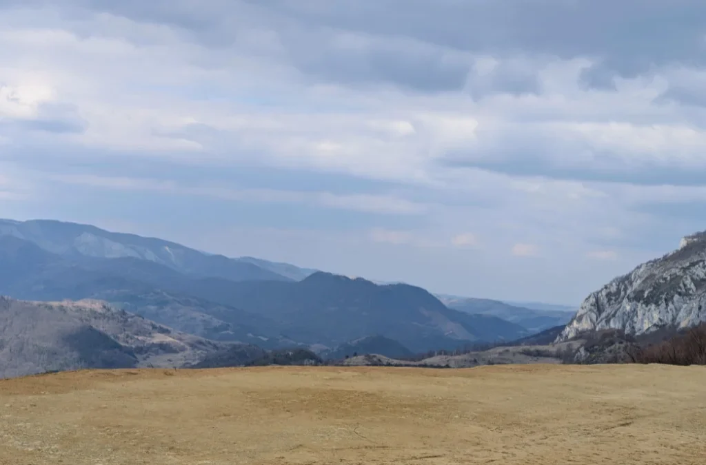
This is where the dogs said goodbye. There were other dogs around at this spot, but none of them joined us for the rest of the hike. We also saw a few cars parked nearby, so if you only want to see Dalbina Waterfall without doing the full hike, you could drive here, though I’m not sure exactly which road to take; I believe it’s the same one leading to the Raven’s Nest guesthouse.
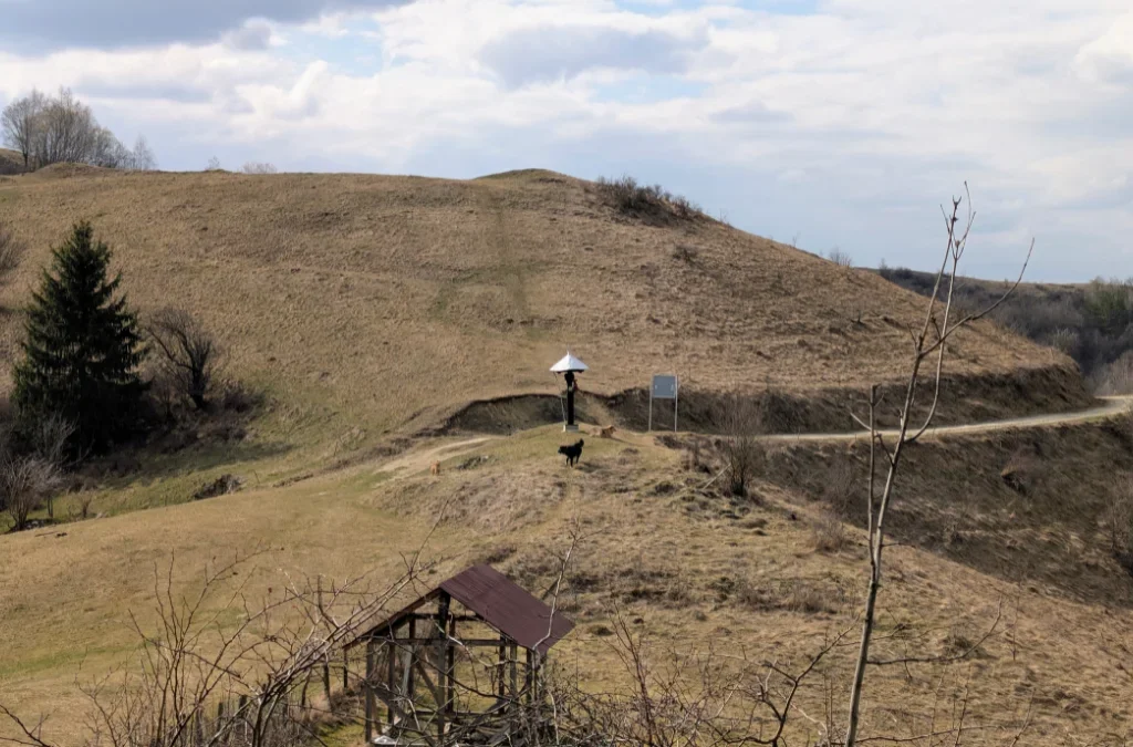
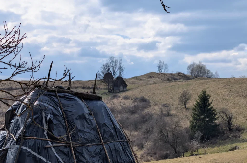
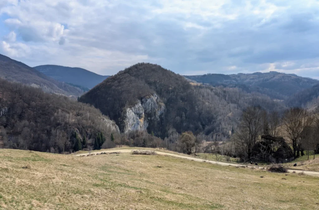
From this plateau, you can follow the trail markers down to Dalbina Waterfall, or continue on toward Vânătările Ponorului Cave instead.
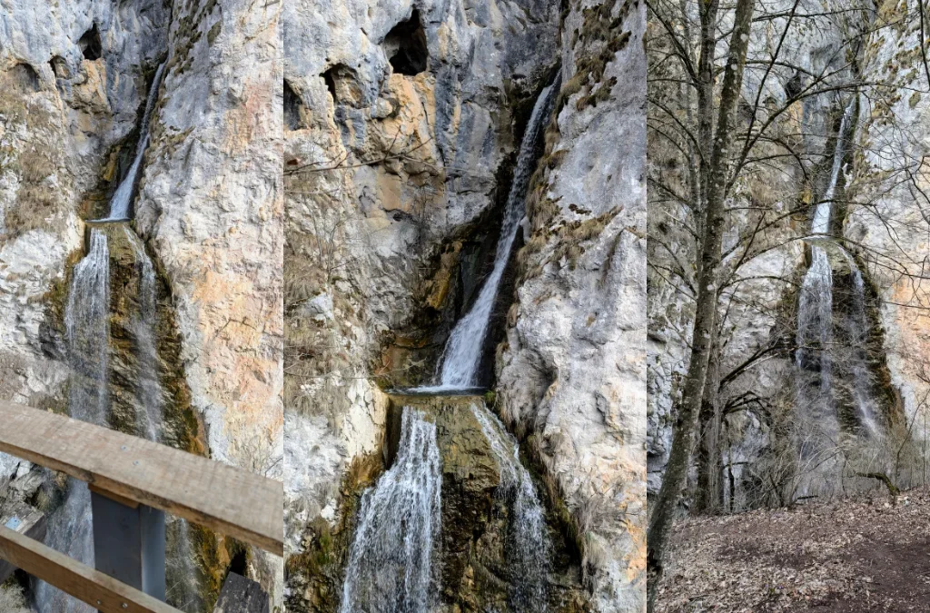
Dalbina Waterfall
The waterfall itself is fed by the Valea Poienii stream, which flows south to north before pouring over a wall of limestone and dropping about 25 meters, a really striking sight, with a small pool forming partway down its height.
This is actually just one part of a much bigger karst system. A little upstream, near Vânătările Ponorului, Valea Poienii joins two other small streams, Valea Ponorului and Valea Seacă, right before the water disappears underground into a giant sinkhole (locally called a ponor). Together, these streams create a whole staircase of waterfalls totaling 70–80 meters in height, the tallest single drop being the 25-meter Dalbina fall we saw. Once the water vanishes underground, it continues its journey through the Dâlbina Cave system, and, this is the part I found genuinely fascinating, it eventually resurfaces at the Huda lui Papara cave, the very cave we visited later on this same hike, several kilometers away. So in a strange way, the waterfall we admired and the cave entrance we peeked into later are actually connected by the same underground river.
The whole area, known as the Vânătările Ponorului Nature Reserve, gets its name from the violet-grey streaks left on the limestone walls by the flowing water (“vânăt” meaning dark blue or violet in Romanian). It’s a well-known spot for hikers and cavers in the region, and after heavy rain or snowmelt, the waterfalls apparently become even more dramatic.
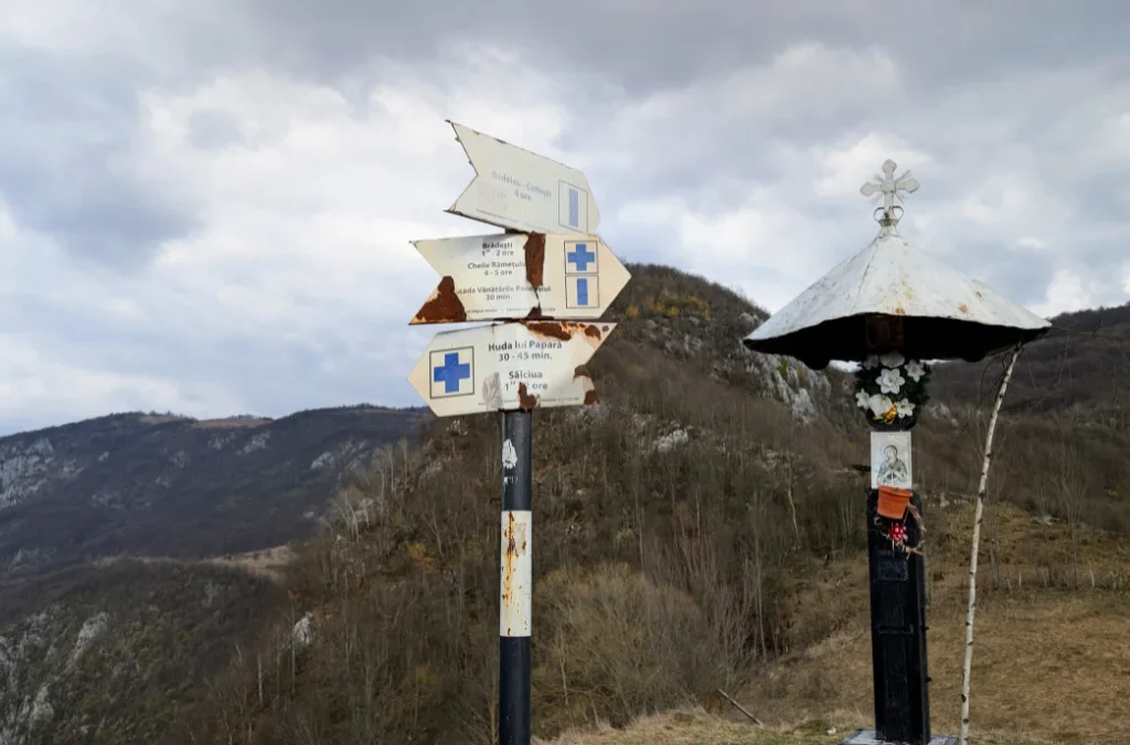
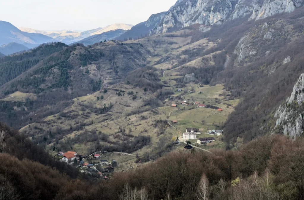
From here, we switched trail markings again, taking the blue cross toward Huda lui Papara cave. The trail passes through forest, and just before entering the woods, we could look down into the valley and spot Mănăstirea de Sub Piatra.
Huda lui Papara Cave, and the Legends Behind It
Huda lui Papara cave isn’t open to visitors, and as far as I know, it sits on private land. We had no trouble walking up to the entrance to take a look, though, the owner didn’t mind at all.
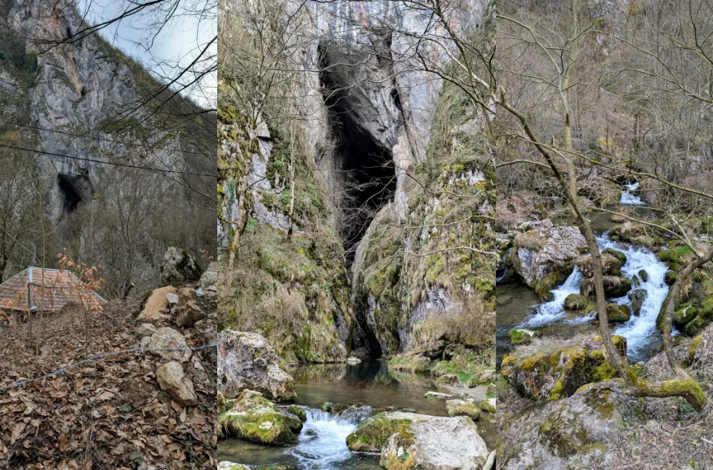
While researching this cave, I found out it’s actually wrapped in some pretty wild folklore, so I thought I’d share a bit of it here.
The name itself is a bit of a mystery. “Huda” is a regional word for a narrow passage, pit, or hollow in the ground, basically an old way of saying “cave.” “Papară” might come from the Latin papa, meaning religious leader, a word that made its way into local dialects as papar. So “Huda lui Papară” may originally have meant something like “the shelter of the religious leader.” Fitting, since the cave is believed to have been used as both a dwelling and a place of worship by prehistoric people and later the Dacians. Local legend even claims that Zamolxes, the god of the Dacians, retreated into a cave somewhere in the Trascău range, and many believe this was the cave.
The cave is also said to be tied to the solomonari, mysterious weather-controlling figures from Romanian folklore. According to legend, they could ride the clouds, summon storms, and were said to descend from an ancient priestly caste. Locals believed the sudden, unexplained floods in the area, where the nearby stream can swell without warning on a perfectly clear day, sweeping away hay and even animals, were caused by dragons bathing in underground lakes deep inside the cave, kept there by the solomonari.
And then there’s the Dracula connection. About 8 km from the cave, over the Bedeleu ridge, sits Trascău Castle (also known as Colțești Castle), built around 1290 on top of the ruins of an old Roman fort. According to legend, Vlad the Impaler was once imprisoned there before reclaiming the Wallachian throne for a third time, and local stories claim the castle’s dungeon connects underground to Huda lui Papara, with some even saying that’s why the cave has such a large bat population today.
Whether or not any of it is true, it definitely adds a bit of magic to standing at that cave entrance, knowing the water flowing past your feet may have started its journey 25 meters up, at the waterfall we’d admired before.
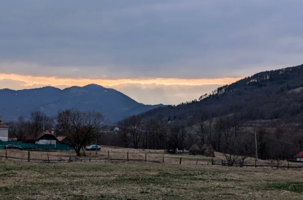
After this, we continued along the blue cross marking, walking on asphalt between the houses back toward the start of the trail. Just before reaching the bridge, the sun put on a little show for us, with rays breaking through the clouds in the most beautiful way.
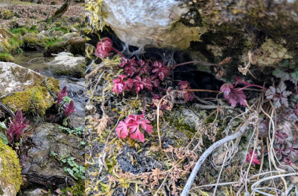
This last photo is a bit out of place timeline-wise, but I loved how well these two plants looked together, so I wanted to share it anyway.
Add a Comment