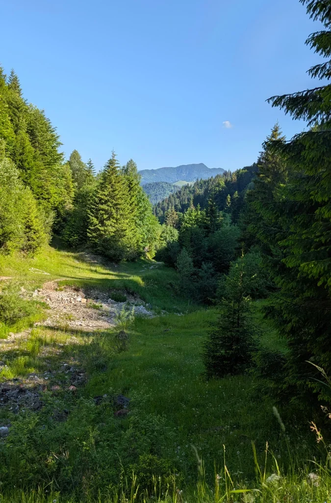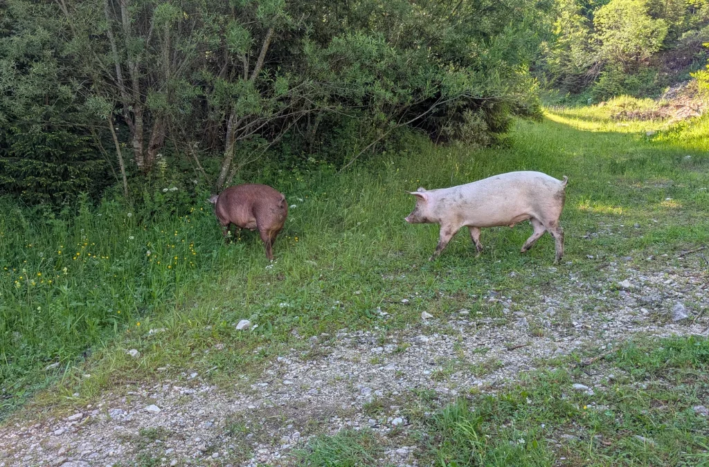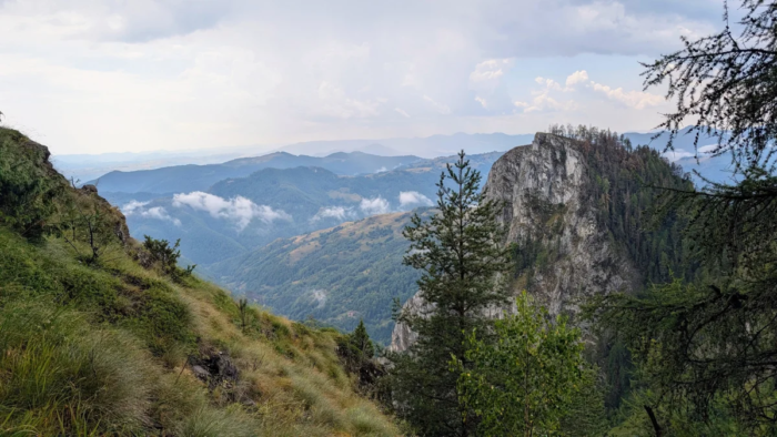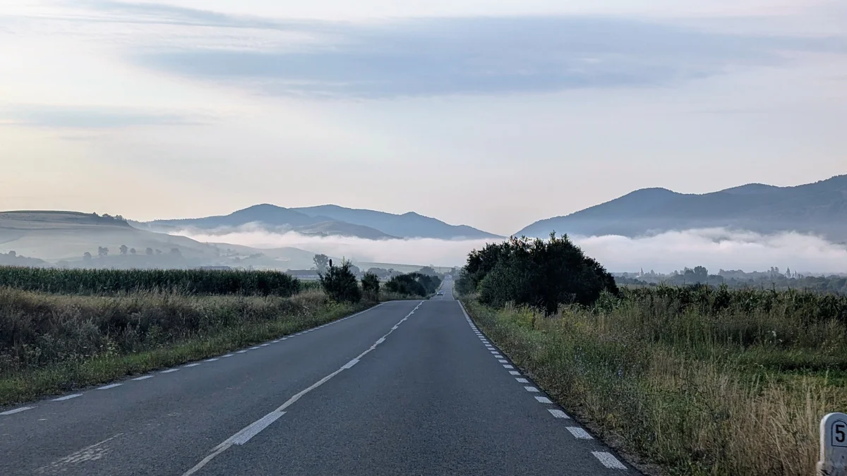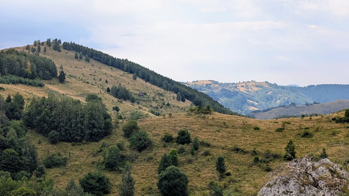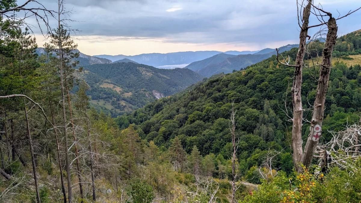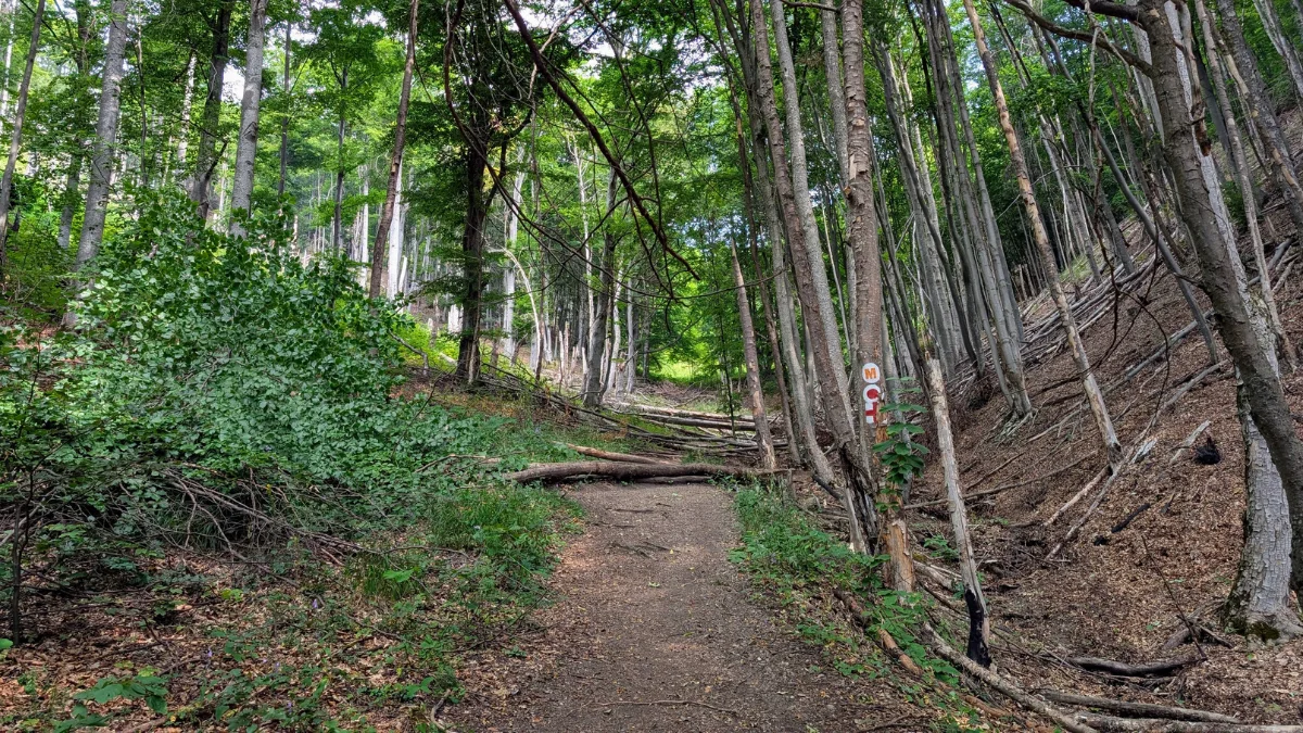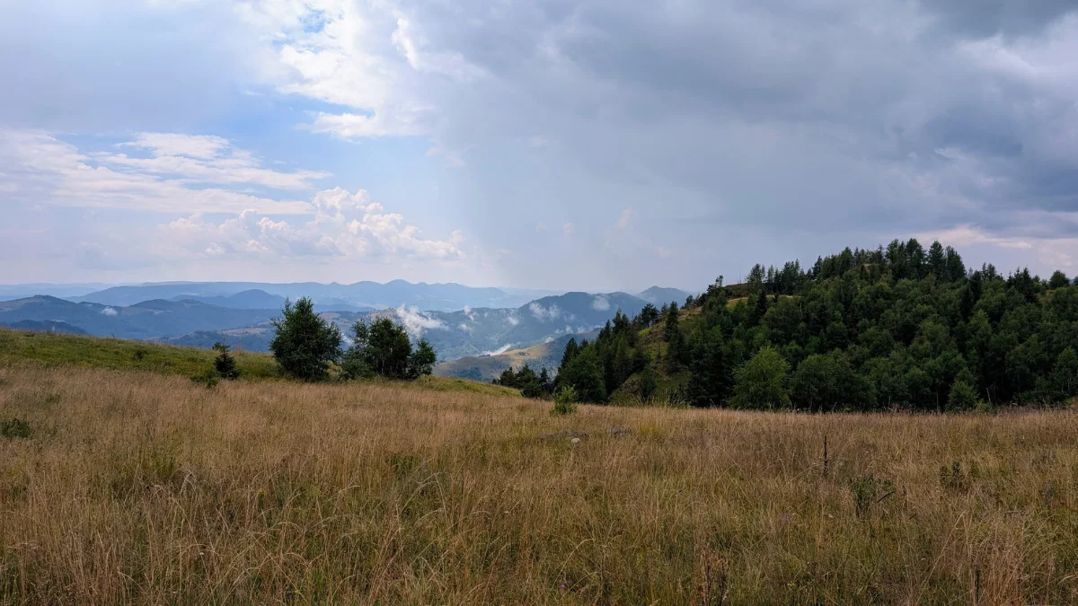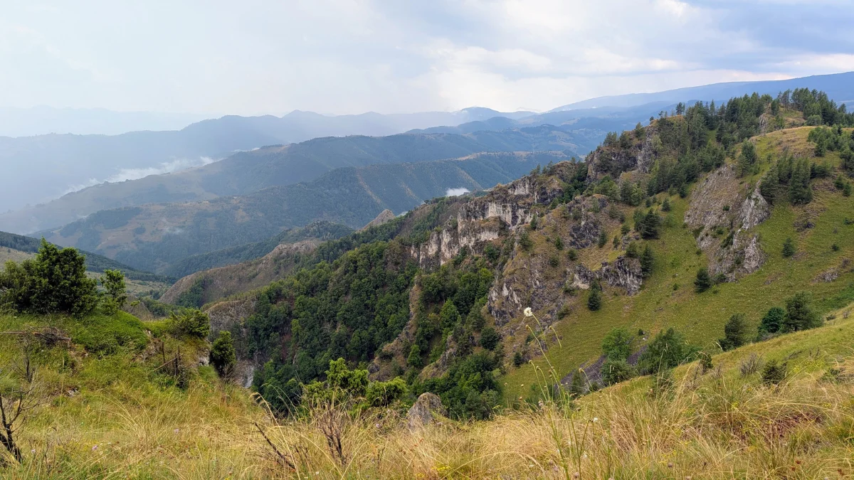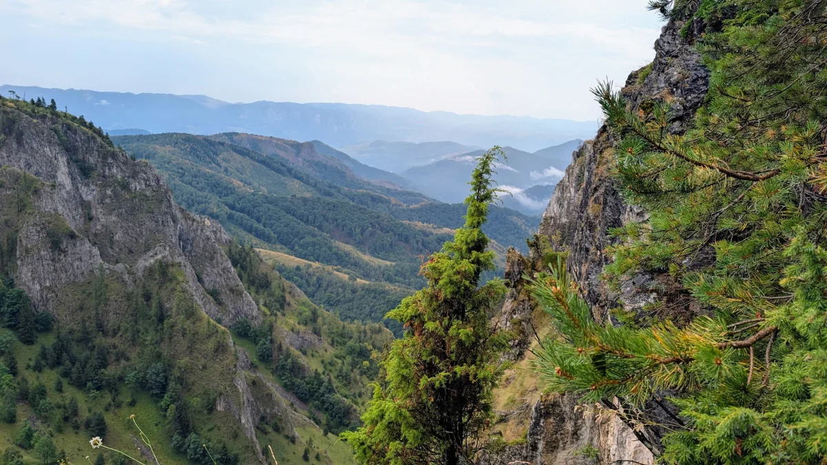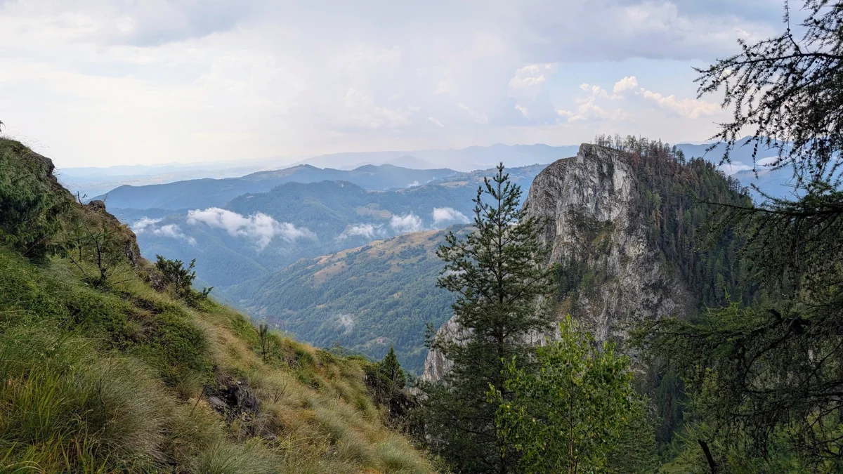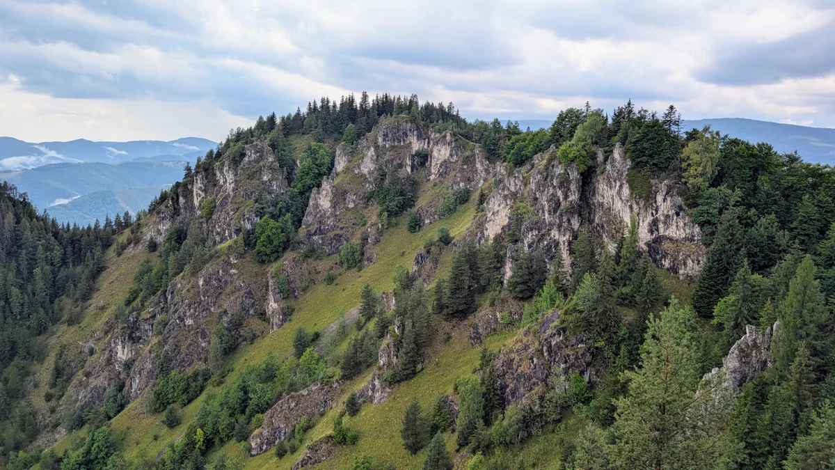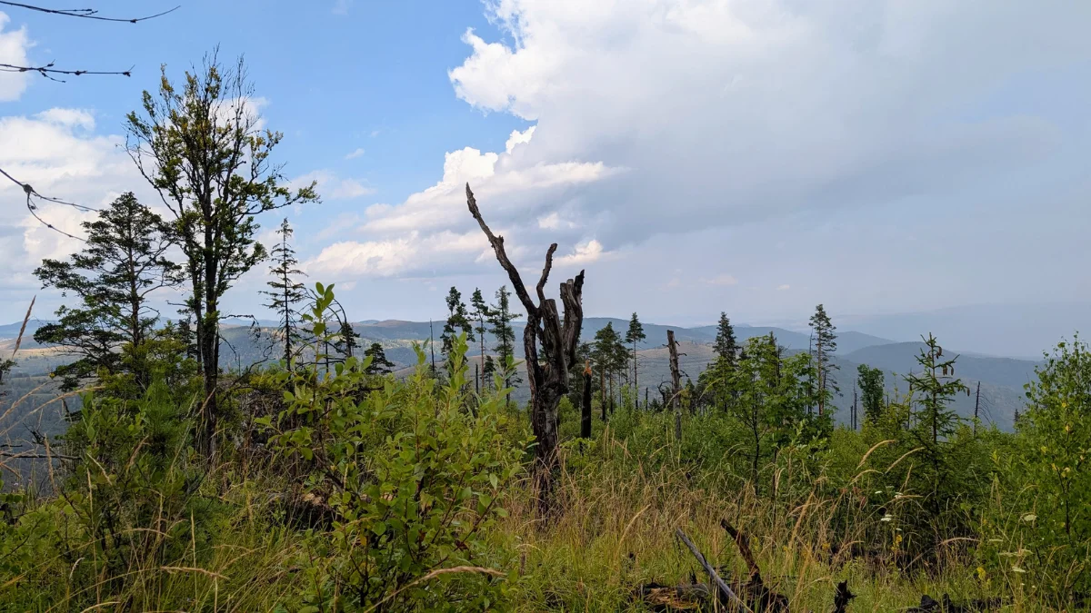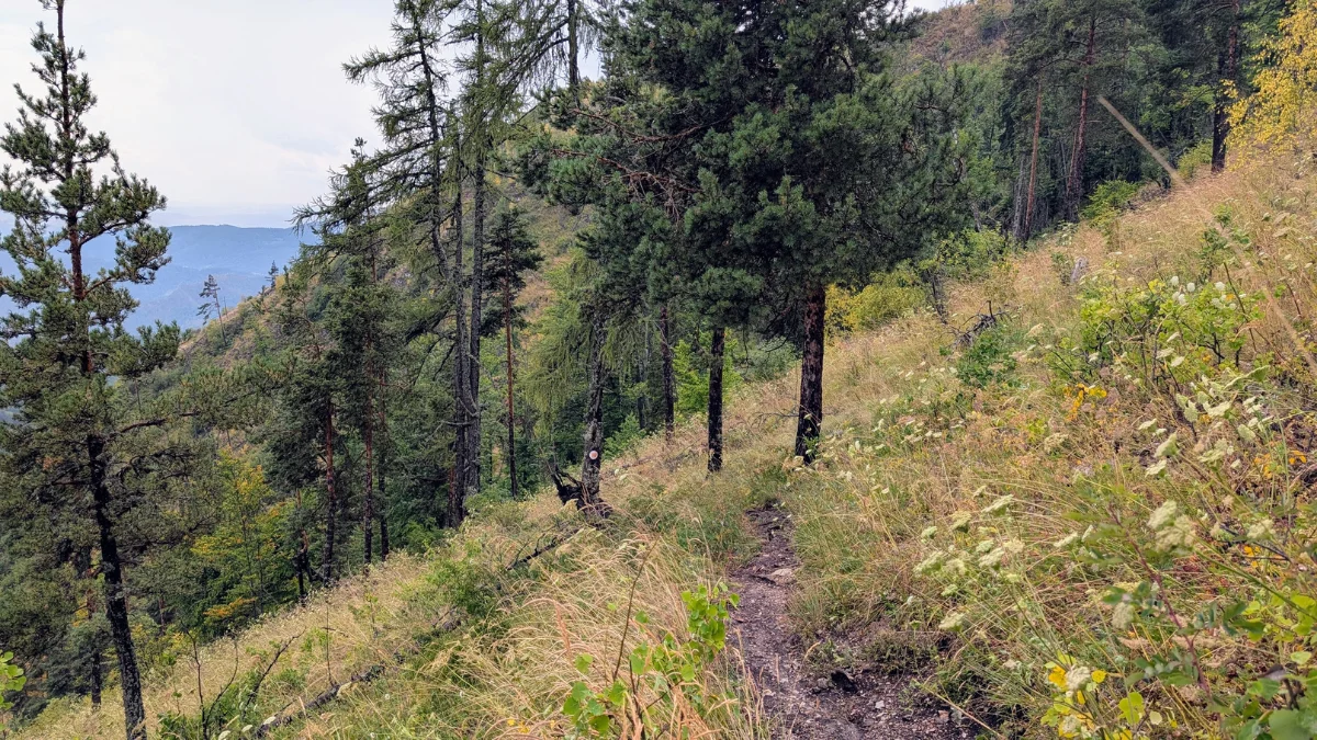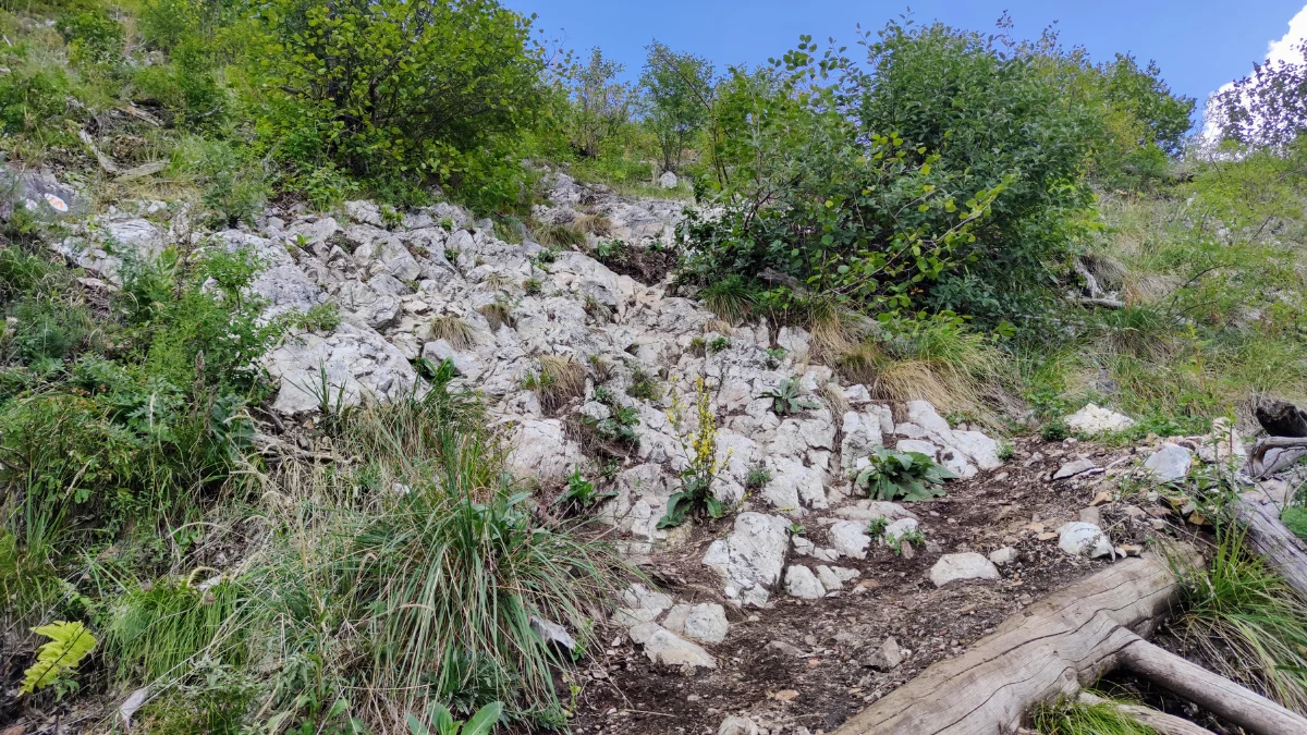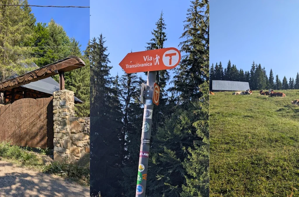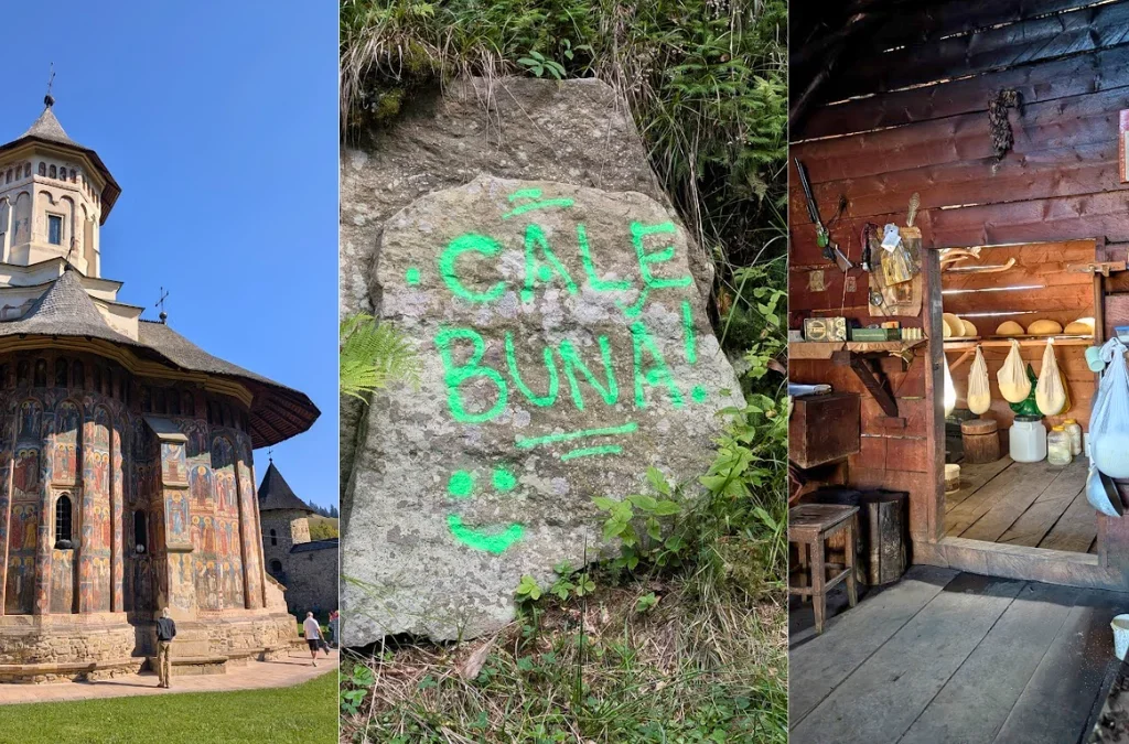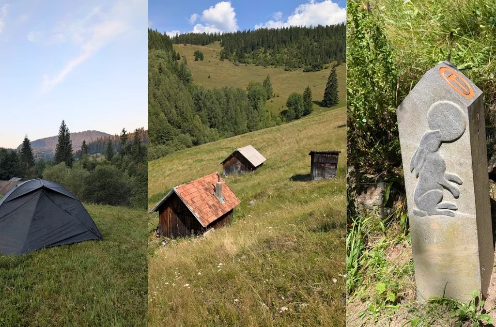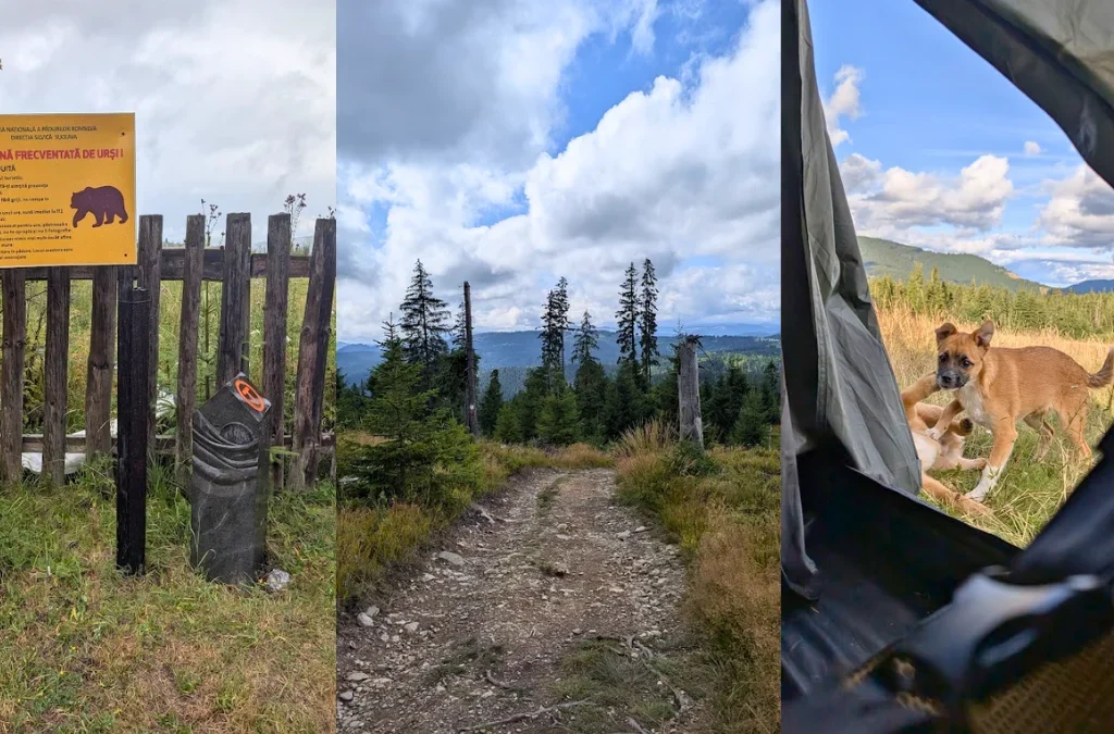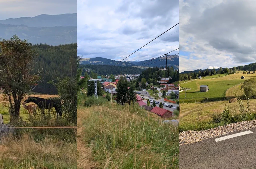
Via Transilvanica 10 days Overview

Via Transilvanica – 10 Days from Putna to Bistrita – Overview

I wanted to go on Via Transilvanica for a very long time. I liked the idea of walking from one side of Romania to the other. The entire trail is from Putna to Portile de Fier, about 1400 km, but now there is a new section made that goes to Brasov, so now it’s about 1600 km.

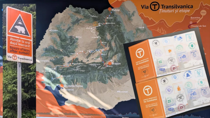
The way I understood Via Transilvanica, so this is how I saw it before doing the 10 days on it, so not how the project is described by the founders but how it’s described by me: it’s a long trail, a multi-day hike. It’s a way to connect communes and promote tourism in Romania, in places where maybe otherwise people would not go. A way to help people have extra income in places that are maybe otherwise forgotten, and a way for people to connect, connect with yourself, connect with nature, connect with other people. In just a few words, I would say Via Transilvanica is about promoting Romania, nature, and tourism in small villages that maybe otherwise would not be visited.

I did think, though, that Via Transilvanica would go from village to village but through forests and hills, basically through nature, on paths that are accessible by foot, not by car. I did not think for a second that you could do Via on a bicycle, so that means my expectations were not quite well set. I also thought we would encounter shepherds and their dogs every day, and this was one of my biggest fears for this trip, as I am terrified by the idea of multiple dogs running towards us while barking and surrounding us until the shepherd calls them back, or us having to pass a sheep herd.

But that’s how I like to experience nature, on a path that is made for humans, that is wild, that is not accessible for cars or motorized vehicles. And because that’s how I like to explore nature, I was disappointed that we had to walk so much on roads, on asphalt, on gravel, on forest roads, where from time to time cars would pass by us. It’s just not the way I like to explore nature.

I hope that maybe they will create alternatives for the sections that have too much road, where you could go deeper into nature. Even if that means more elevation gain, and the path being harder, I wish I would have that option, to only be on roads when I’m in villages, not in between.

Ok. So after this little rant, let’s start with how Via Transilvanica went for me.

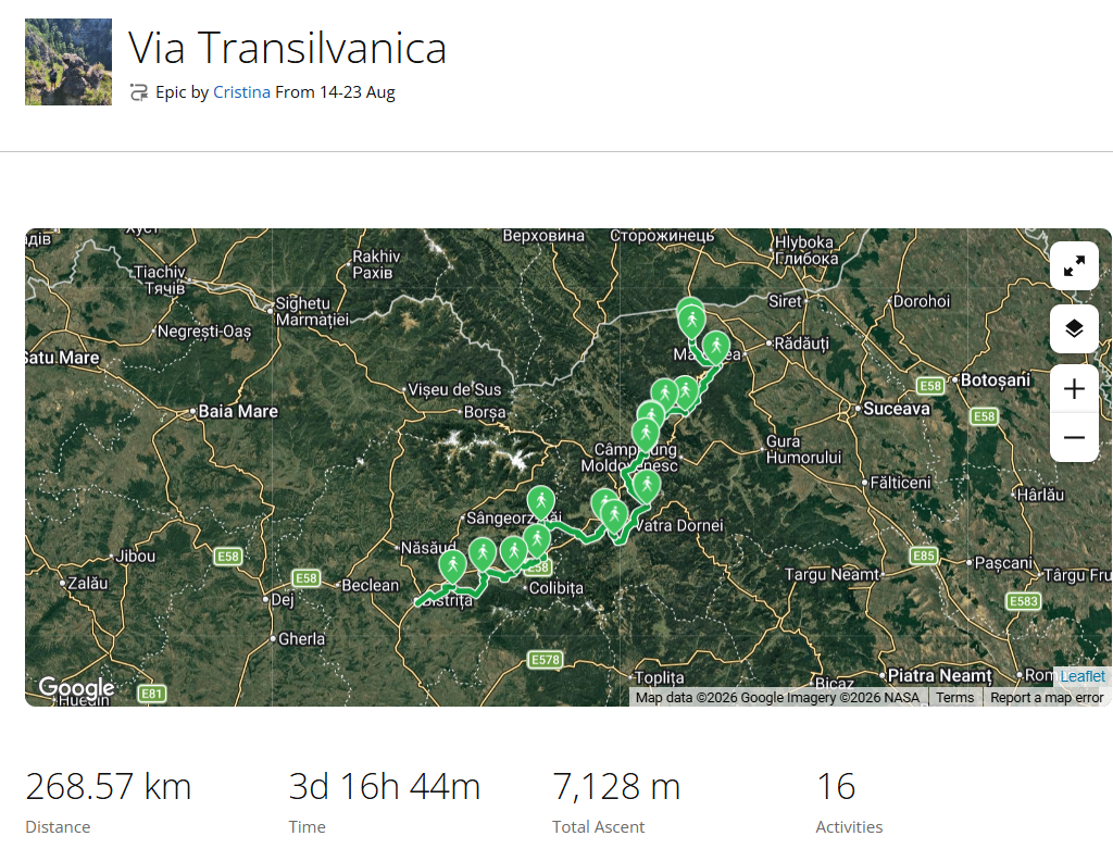
We finally went on the trail because of a medical study, where you had to do a minimum of 10 days and a minimum of 150 km on Via Transilvanica. So this study was the final push for us to do a part of the trail. We decided to start from the beginning of the trail, from Putna. Our plan was to have 10 or 11 days on Via, depending on whether we would do Bistrita Bargaului – Dorolea in one day and then Dorolea – Bistrita on another, or do Bistrita Bargaului – Bistrita in a single day.

In the end, this is how our days looked:

Day 1: Putna – Sucevita
Day 2: Sucevita – Vatra Moldovitei
Day 3: Vatra Moldovitei – Sadova
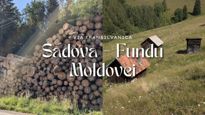
Day 4: Sadova – Fundu Moldovei
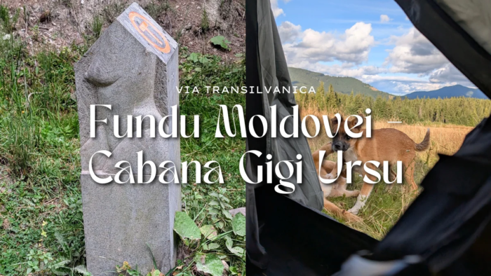
Day 5: Fundu Moldovei – Cabana Gigi Ursu
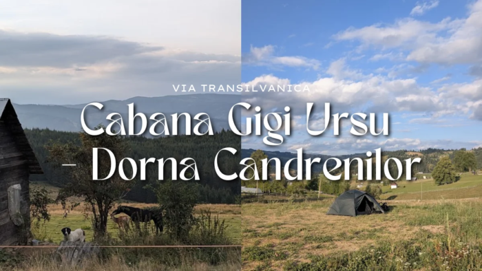
Day 6: Cabana Gigi Ursu – Dorna Candrenilor
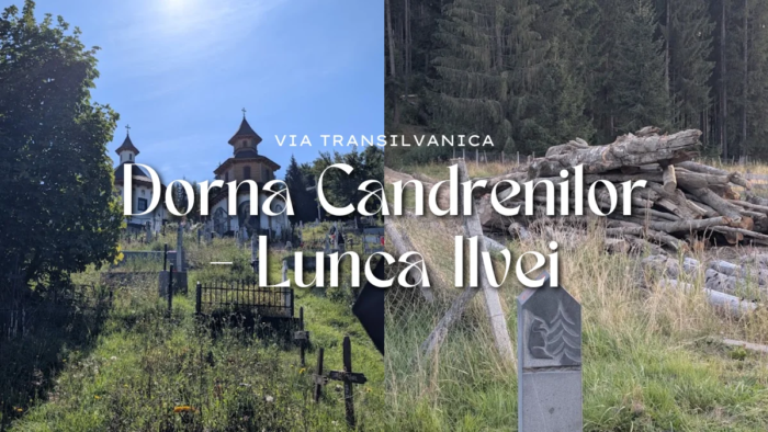
Day 7: Dorna Candrenilor – Lunca Ilvei
Day 8: Lunca Ilvei – Tasuleasa Social
Day 9: Tasuleasa Social – Bistrita Bargaului
Day 10: Bistrita Bargaului – Dorolea – Bistrita

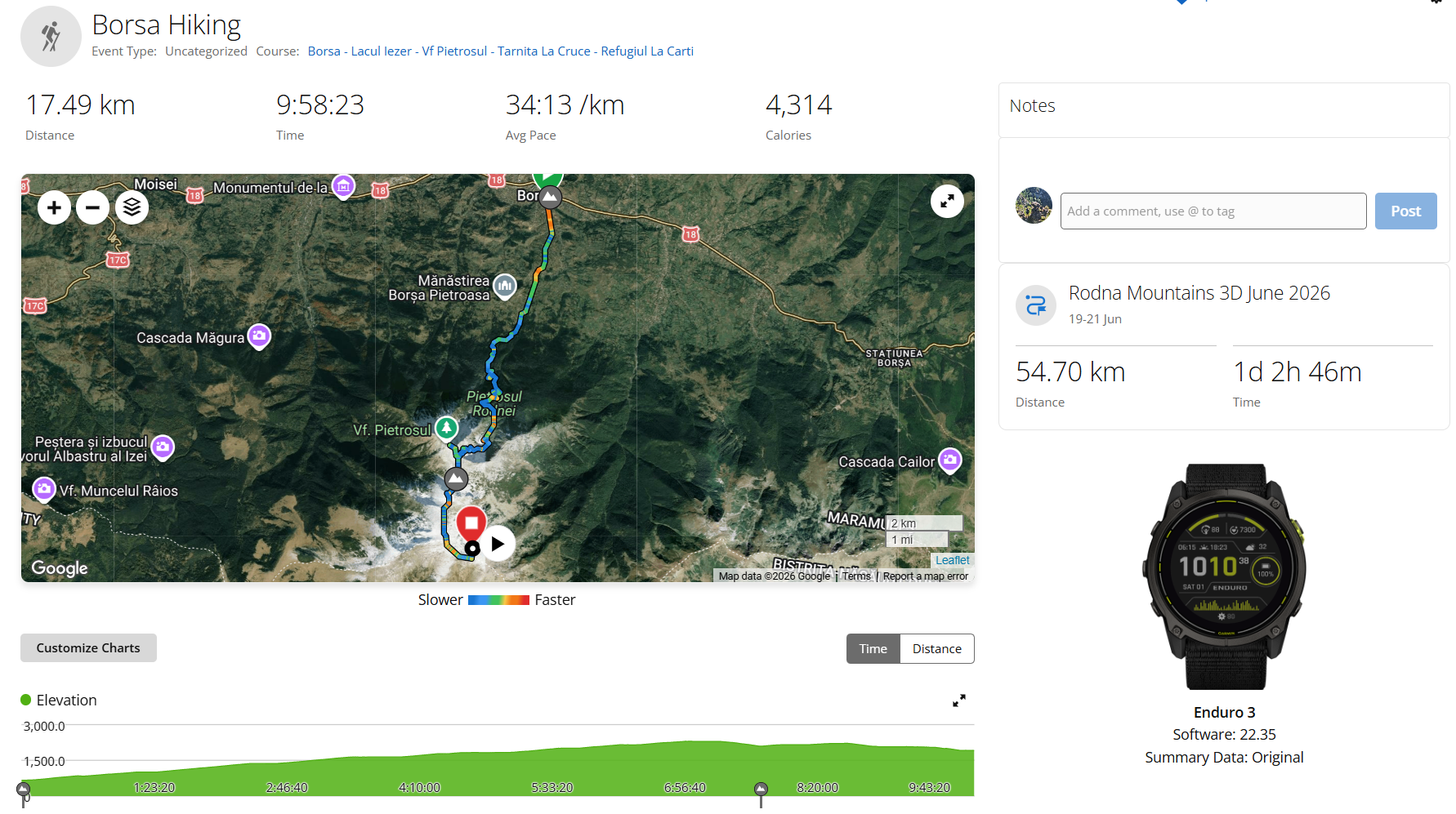
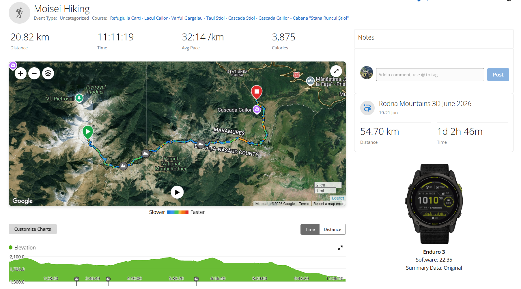
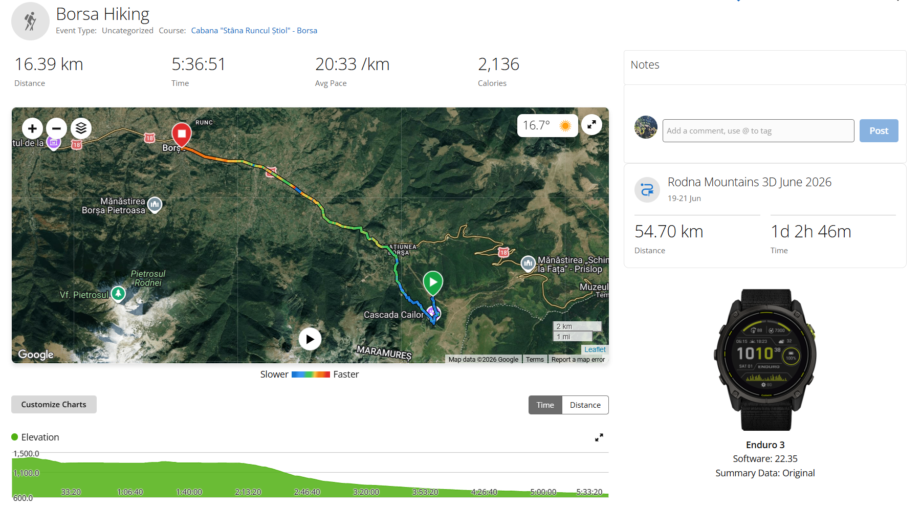
*Garmin creates some artifacts when I’m on a break, so the km aren’t quite accurate. According to the guide, we should have done about 224 km.

Now, let’s talk a bit about how it went.

Day 0. We had to travel from our home city, Cluj Napoca, to Putna. This meant taking the train or going with a FlixBus. We decided to go by train, as the FlixBus would take us to Suceava and then we’d have to take a train or two buses to Putna. The train would also take us to Suceava, and from there we’d take a second train to Putna. After a very long delay, we finally got on the train, and after the second train’s delay, we finally got to Putna, making it day 1.

Via Transilvanica, Bucovina, day 1: Putna – Sucevita

A few stats: about 17 km, about 350 m elevation gain, 7 hours with breaks. Putna stamp from Putna Monastery and Sucevita stamp from Sucevita Monastery.

A shorter first day, mostly on forest roads, with heavy packs and no rest from the train working against us. Beautiful nature, both monasteries visited, and one small disaster with my phone screen. We camped at a campsite still under construction, with working toilets and showers.

Want the full story of this day, with more photos? Read the day 1 article.

Via Transilvanica, Bucovina, day 2: Sucevita – Vatra Moldovitei

A few stats: about 22 km, about 1167 m elevation gain, about 9:30 hours with breaks. We took the Ciumarna stamp from near borna 30, and the Vatra Moldovitei stamp from the bar across the street from La Banditi.

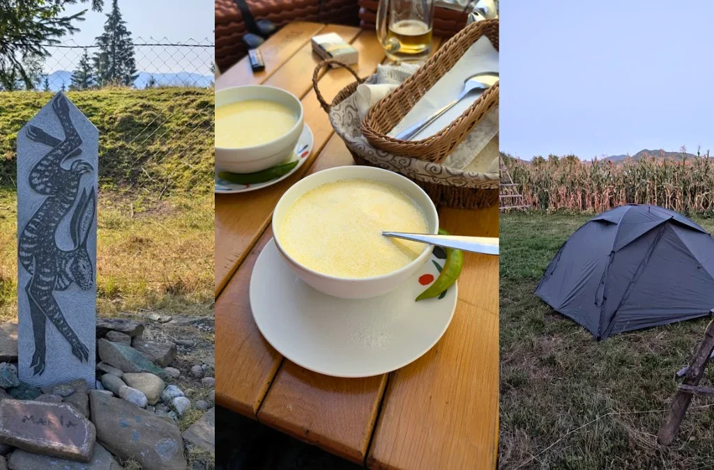
A tougher climb, lots of berries, a first cow herd with guard dogs that did their job without bothering us, and a small fall on gravel. We camped at La Banditi, with two very sweet dogs, and this was the day the french fries craving began.

Want the full story of this day, with more photos? Read the day 2 article.

Via Transilvanica, Bucovina, day 3: Vatra Moldovitei – Sadova

A few stats: about 24 km, about 1032 m elevation gain, about 9:30 hours with breaks. We took the Sadova stamp from Pensiunea Alvy Iezer.

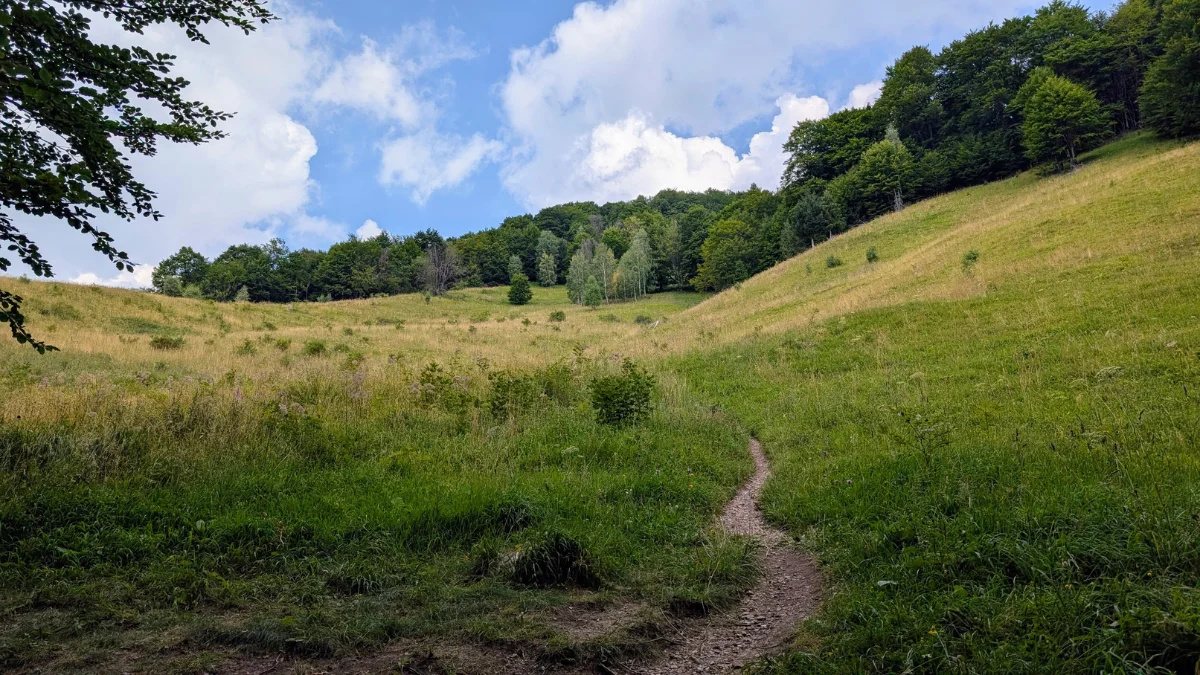
My favorite day of the whole trip. A long, tiring climb through forest and pasture, but the kind of day that makes you want to come back and do it again, friendly cows, gorgeous shepherd dogs, and one of the warmest interactions of the trip with a family living on the mountain. We camped in a locals courtyard.

Want the full story of this day, with more photos? Read the day 3 article.

Via Transilvanica, Bucovina, day 4: Sadova – Fundu Moldovei

A few stats: about 10 km, about 330 m elevation gain, about 3:30 hours with breaks (from Garmin data). We got the Fundu Moldovei stamp from Braserie FM.

A short, easy, relaxing day by comparison, breakfast, a false alarm on wildlife, and an afternoon of actual rest at the campsite. We camped at de Vuurplaats.

Want the full story of this day, with more photos? Read the day 4 article.

Via Transilvanica, Bucovina, day 5: Fundu Moldovei – Cabana Gigi Ursu

A few stats: about 29 km, about 1005 m elevation gain, about 9 hours with breaks (from Garmin data). We took the Pasul Mestecanis stamp from Pensiunea Luceafarul.

The only rainy day of the trip, and the day I really started noticing how much of this route is road rather than trail. A nice stretch walking between Christmas trees was the highlight. We camped at Cabana Gigi Ursu, with two dogs and a cat.

Want the full story of this day, with more photos? Read the day 5 article.

Via Transilvanica, Bucovina, day 6: Cabana Gigi Ursu – Dorna Candrenilor

A few stats: about 31 km, about 820 m elevation gain, about 9 hours with breaks (from Garmin data). We took the Vatra Dornei stamp from Pensiunea Elenuca and the Poiana Negrii stamp from Casuta bunicilor.

A strange start with a trapped bird and a dog that didn’t want to let us go, then a steep climb by a ski slope that wasn’t as bad as expected. Back on the road again after that. We camped at Pensiunea Lena, with excellent jam waiting the next morning.

Want the full story of this day, with more photos? Read the day 6 article.

Via Transilvanica, Bucovina, day 7: Dorna Candrenilor – Lunca Ilvei

A few stats: about 36 km, about 612 m elevation gain, about 11 hours with breaks (from Garmin data). We took the Lunca Ilvei stamp from La Avram.

The day with too little nature and too much asphalt, plus a funeral and a boar encounter that had us whistling and shaking the bear bell. We camped at La Avram, which made up for the day with genuine hospitality.

Want the full story of this day, with more photos? Read the day 7 article.

Via Transilvanica, Highlands, day 8: Lunca Ilvei – Tasuleasa Social, version B

A few stats: about 18 km, about 800 m elevation gain, about 10:30 hours with breaks. We took the Tasuleasa Social stamp from Tasuleasa Social.

A steep, road-heavy day redeemed by Poiana lui Galan and a warm welcome from the Galan family. Arriving at Tasuleasa Social the night before their marathon event was a much colder welcome. We camped at Tasuleasa Social.

Want the full story of this day, with more photos? Read the day 8 article.

Via Transilvanica, Highlands, day 9: Tasuleasa Social – Bistrita Bargaului

A few stats: about 25 km, about 565 m elevation gain, about 8:30 hours with breaks. We took the Bistrita Bargaului stamp from Atelier de paine traditionala.

A long, sunny day that crossed paths with the Tasuleasa half-marathon, lovely encouragement from strangers and runners, one rude moment from race volunteers, and a good meal at Valea Strajii. We camped at Atelier de paine traditionala, easily one of the warmest hosts of the trip.

Want the full story of this day, with more photos? Read the day 9 article.

Via Transilvanica, Highlands, day 10: Bistrita Bargaului – Dorolea – Bistrita

A few stats: about 33 km, about 762 m elevation gain, about 10:30 hours with breaks. We took the Dorolea stamp from Pensiunea Elis and the Bistrita stamp from Amaretto Caffe.

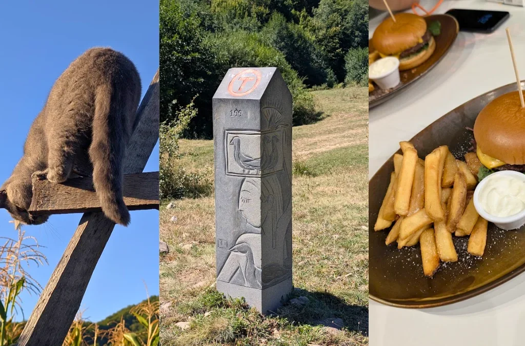
The final push, more road than we wanted, a warning about shepherd dogs that didn’t amount to much, a sheep herd, a heartwarming offer of chocolate biscuits from a family in Dorolea, and a very welcome stranger who wished us well right when we needed it. We finished with a burger and fries and a hotel bed instead of a tent, then took the train home the next morning.

Want the full story of this day, with more photos? Read the day 10 article.

Frequently Asked Questions

How much did you pay for camping?

We paid between 35 and 85 lei (two adults and a tent). There were also places where we camped for free. When we camped for free, we would eat at that location, so we’d contribute in some financial way as well. If the place didn’t serve food and we camped for free, we’d leave some money so it would be fair to both parties.

How much did you paid for food?

For breakfast we paid between 30 and 40 lei per person. For lunch, 50 lei per person. And for dinner, between 30 and 50 lei per person.

There was also one place where we ate and could leave as much as we felt was fair.

What did you packed?

Too much food. The plan from home was to do this on a lower budget, so we wanted to camp with our own tent and bring our own food. We did camp, but we also bought food along the way.

So we packed our tent, sleeping pads, sleeping bags, and a tent hammer. We had a gas canister, a pot, two forks, one knife, two mugs, and lots of food and snacks. We had 2 medical kits, one with bandages and one with pills. We had sunscreen, as well as mosquito and tick spray. We had deodorant and natural soap.

We each had a water bladder as well as a water canister, our rain jackets, and 3 sets of clothing. Headlamps. A notebook, a book, and the Via Transilvanica booklet to collect the stamps. A poop shovel and toilet paper, toothpaste and toothbrushes. Wet wipes.

Two bear sprays. Dog treats. Treking poles.

Our phones, a camera, a charger, 3 power banks to charge our devices, and extra batteries for the headlamps.

I don’t think we had anything else.

Via Transilvanica Bucovina day 2 Sucevita - Vatra Moldovitei (1)

Via Transilvanica, Bucovina, day 2: Sucevita – Vatra Moldovitei

A few stats: about 22 km, about 1167 m elevation gain, about 9:30 hours with breaks. We took the Ciumarna stamp from near borna 30, and the Vatra Moldovitei stamp from the bar across the street from La Banditi.

I had such good sleep in the tent, maybe also because of the lack of rest before this. The tent was warm, only a bit cold at the feet in the morning, since I didn’t put my warm socks on before going to bed.

Feeling good, just a bit of muscle pain in my left leg, shin, and ankle, and a bit of contact discomfort at the hips and shoulders.

All in all, in good spirits at the start of day 2.

This was the day we shared the trail with two other hikers from Bucuresti, we kept passing one another and saying a few words each time we crossed paths. The day before, we had been on the same train as a group of four hikers from Bucuresti and a couple from France. We had also said hi to a biker and a solo hiker.

There was a hard uphill section that gave my head time to meditate. This day was quite nice, lots of nature, lots of berries: blackberries, raspberries, and wild strawberries.

This day’s trail takes you to the edge of Ciumarna, where you can get the stamp and also have a few words with the locals. We were offered poale-n brau, which is a kind of traditional pie.

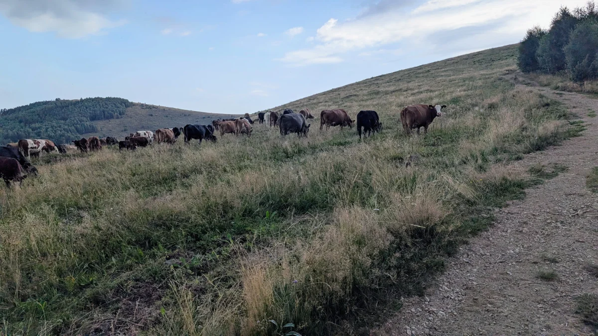
On this day we had to cross a herd of cows with guard dogs. They did bark, but didn’t come close to us, they were just doing their job protecting their animals, without being a threat to us hikers.

We also had to descend a hill on gravel, and I slipped and fell on my left knee, just a little scrape, all good.

We also learned how mother cows call their calves, and vice versa, they were so cute, watching the calves run to their mothers. In our minds, we imagined the mother cows scolding the calves for wandering so far and telling them it was time to come home.

The trail took us to a clearing on a hill, where cows were grazing on their own, it was so idyllic, so peaceful.

We camped at La Banditi, where they had two cute dogs, a German shepherd and one whose breed I don’t know, but the second one stayed with us while we had dinner, so cute. We also had access to a toilet and shower.

And this was the day the craving for french fries began. I always crave french fries after hiking, so I knew this is how I wanted to celebrate the end of our hike on Via Transilvanica.

Via Transilvanica Bucovina day 1 Putna - Sucevita (1)

Via Transilvanica, Bucovina, day 1: Putna – Sucevita

A few stats: about 17 km, about 350 m elevation gain, 7 hours with breaks. Putna stamp from Putna Monastery and Sucevita stamp from Sucevita Monastery.

I was very excited to be on the trail. I got very excited at the start point of the trail and for the first stamp. The first day was a shorter one, about 17 km, with about 350 m of altitude difference. We both had heavy backpacks, so this and the lack of rest on the train were the biggest challenges for us on day 1.

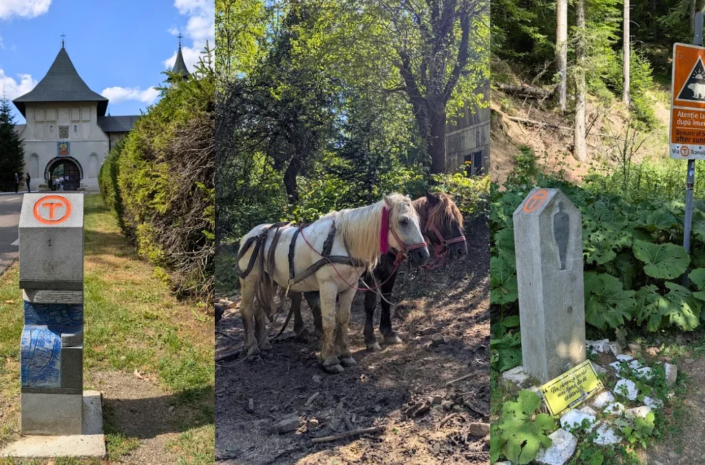
The nature was very beautiful. We also had a nice break at a rest stop where we had our first meal, rice with cheese. On this day we did hike in nature, but the start was on the road in Putna, and then on a forest road before the narrower trail. On the forest road we saw quite a few people using horses to work with wood, getting it out of the forest. The backpack felt too heavy, and I could not wait for us to eat more of the food in it so it would get lighter.

I was happy that we saw both monasteries, Putna and Sucevita.

After this day, my legs, hips, and shoulders were aching. We both took magnesium so we would avoid cramps, and this was successful for the entire trip, no cramps for me.

Pitching the tent was kind of therapeutic, like knowing the day is done, now we can rest.

One accident did happen today: I scratched, or cracked, the screen protector on my phone, which is only 9 months old. That made me feel so frustrated with myself, and pissed off at myself, for doing that.
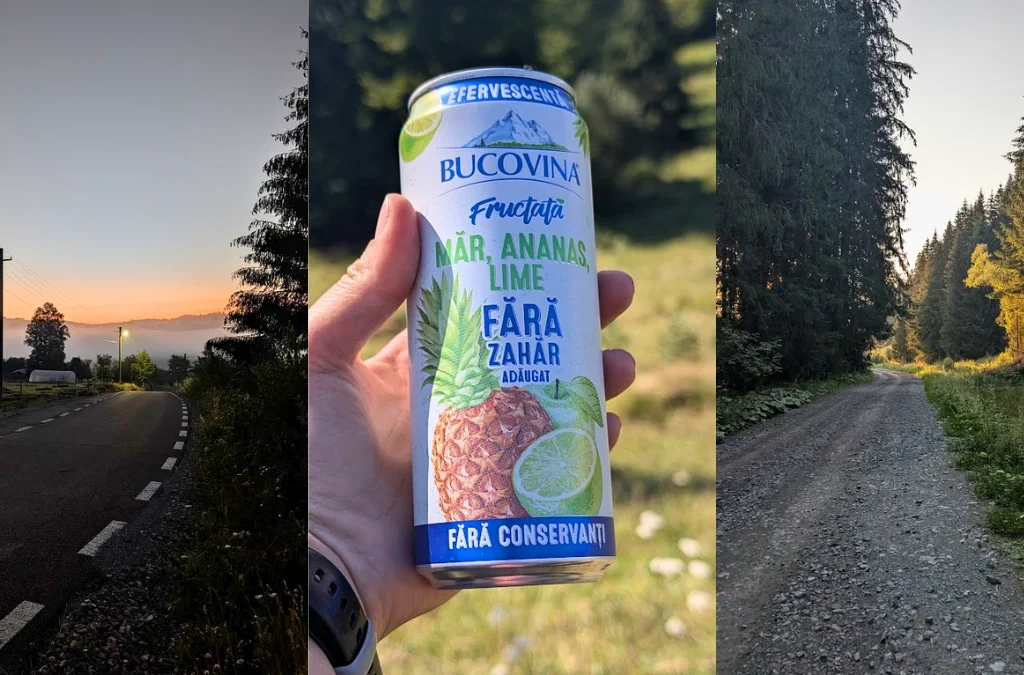
One nice surprise on the trail was the yummy apples we got from trees hanging over the sidewalk.

Day one had no sign of sheep herds or their dogs, and no signs of wild animals.

We camped at a campsite that is still under construction, but there are working toilets and showers.

After day one, I felt a bit tired, but the excitement of being on Via Transilvanica was still keeping me in good spirits.

Cheile Turzii Both Slopes (12)

Cheile Turzii Both Slopes

Part of the Carpații Occidentali (the Western Carpathians), Munții Apuseni (Apuseni Mountains) Munții Trascaului.

Parking: There are several paid parking areas close to the start of the trail, including near Cabana Cheile Turzii.

Trail: The trail starts at Cabana Cheile Turzii. We began by climbing the right slope, following a forest path before reaching a few rocky sections. Eventually, you’ll arrive at the plateau.

The descent follows a rocky path before continuing over grassy hills until you reach the river. From here, you can follow the river back to the starting point. Be careful, though, it can be slippery because of the many rocky sections, and you’ll need to cross the river over several bridges.

Instead, we decided to climb the left slope as well. This ascent starts across grassy hills before entering the forest and eventually reaching the plateau. The descent is mostly through the forest, and you’ll cross one final bridge before returning to the starting point.

GPX: You can see the trail, on Muntii Nostrii, here.

When did we do this trail? We completed it in April 2026.

Trail Facts

Trail typeloop
Distance~8 km
Duration5 hours with breaks
Elevation gain~ 690 m
DifficultyModerate (the rocky sections can be slippery)
Trail markingRed Dot
AccessFrom Cabana Cheile Turzii
Water sourcesI think there is one at the cabin, not sure. There is one iI believe there’s one near the cabin, although I’m not completely sure. If you return along the river, you’ll find another one, and there’s also a spring slightly off the trail near the beginning of the left-side climb.
Hiked inApril 2026

This was the first time we hiked both slopes in a single day. Before this, we had done the right side with the return along the river, and we had also completed the left side starting from Cascada Ciucaș and returning the same way.

After parking the car nearby, we walked over to Cabana Cheile Turzii, where the trail begins.

Since we had already done this hike several times, I didn’t take nearly as many photos as usual. The beginning of the trail takes you through a beautiful forest before opening into clearings, with a few rocky sections along the way, and then back into the forest before reaching the plateau. This is a very popular trail, so it’s easy to follow even if you don’t immediately spot the trail markings.

Because we visited in April, I was lucky enough to see some beautiful wildflowers. One of them, I believe, was the dwarf Russian almond.

I also spotted Dedițel, as well as one of my favorite flowers, the Iris (Stânjenel).

As you get closer to the plateau, you’ll come across several clearings with beautiful viewpoints, like the one below.

And then it was time for one of my favorite hiking games: Can I spot the car? From here, we could actually see where we had started the hike, including Cabana Cheile Turzii.

Soon after, we reached the plateau. It’s a lovely place to take a break, with several benches where you can sit, relax, and enjoy the scenery.

After our break, we started the descent. It’s a little steep in places but nothing too difficult. The trail alternates between open clearings, rocky sections, and grassy hillsides.
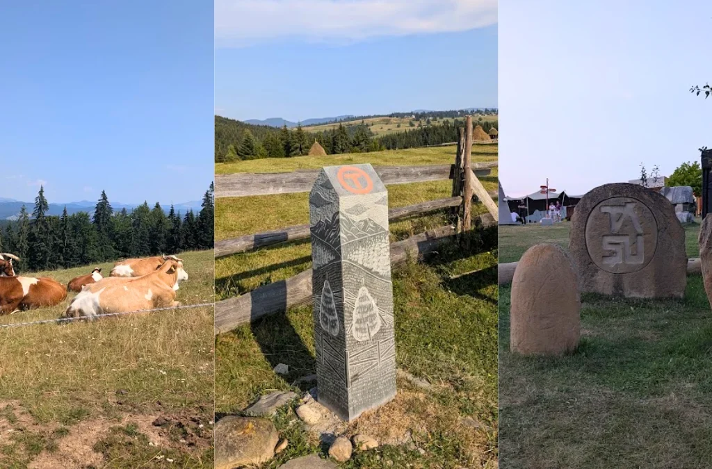
The descent eventually brings you down to the river. From there, you can either continue your hike by climbing the opposite slope, as we did, or simply follow the river back to the parking area. The riverside path is mostly flat, but it’s one of the busiest sections of the trail and can be slippery because of the rocks. You’ll also cross several bridges over Valea Hășdate.
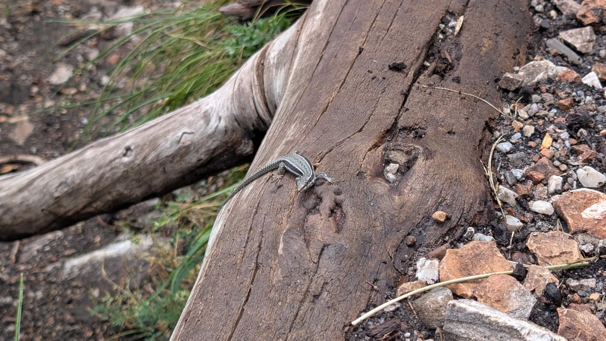
While taking our break, we spotted a very cute lizard, a Gușter.

Since our plan was to complete both slopes, after spending a little time admiring the gorge, we started the second climb. This ascent begins across grassy hills before entering the forest. Along the way you’ll pass through more clearings, rocky sections, and areas with tall shrubs before finally reaching the plateau once again.

Inside the forest, I also spotted one of my favorite spring flowers: Crucea Voinicului.

From the plateau, you get wonderful views of the opposite side of Cheile Turzii, giving you a completely different perspective of the gorge.

The final descent takes you through forests and open clearings before crossing one last bridge, bringing you back to where the hike began.

Salciua de Jos - Platou Bedeleu La Balcon - Cascada Dalbina - Pestera Huda Lui Papara - Salciua de Jos - Muntii Trascaului (3)

Salciua de Jos – Bedeleu Plateau (La Balcon) – Dalbina Waterfall – Huda lui Papara Cave – Salciua de Jos

Part of the Carpații Occidentali (the Western Carpathians), Munții Apuseni (Apuseni Mountains) Munții Trascaului.

Parking: We parked the car in what I think is a bus stop in Salciua de Jos. It’s right across the road from the bridge where the trail starts. You can check the spot on Google Maps here.

Trail: We started the trail from Salciua de Jos. From there, we wanted to see Poarta Zmeilor (Red Cross marking), but I think I got the GPX slightly wrong, so we never made it there. We climbed through the forest, at one point you can see the Șipote Waterfall from above, though we skipped it, and continued climbing until we reached the Bedeleu Plateau, La Balcon. From there, you could also see Poarta Zmeilor, but again, we missed it since I hadn’t added it to my GPX. My mistake.

We then continued through forests and meadows (switching to the blue line marking), where at some point two dogs appeared out of nowhere and joined us for part of the hike. Eventually we started descending, following the blue line, all the way down to the Dalbina Waterfall. From there it was a short climb back up to the plateau, and then, following the blue cross marking, downhill through the forest until we reached the Huda lui Papara cave. You can’t go inside this cave, but you can see the entrance. It sits on private land, though the owner had no issue with us walking up to take a look. From there, instead of continuing to Mănăstirea de Sub Piatra (red triangle marking) and looping back to the car that way, we headed straight back to the parking spot on the blue cross trail, I was a bit tired, and that alternate route would have added about 100 m of extra elevation gain.

GPX: I’ll share the hikes as listed on Muntii Nostri, along with a link to the GPX track I made in Garmin Connect: Sălciua de Jos – Peștera Poarta Zmeilor , Platoul Bedeleu – Vânătările Ponorului, Pestera Huda Lui Papara – Sălciua de Jos. Keep in mind that these are full trails, and we only hiked portions of each one. And here is my GPX link. My GPX will take you back on the Red Triangle, next to the Manastirea De Sub Piatra.

When did we do this trail? We completed it in March 2026.

Trail Facts

Trail typeloop
Distance~23 km (my fitness watch tends to add extra meters during breaks, since I don’t use the pause function, so the real distance is probably a bit shorter)
Duration9:30 hours with breaks
Elevation gain~ 1,211 m
DifficultyEasy to moderate (because of the distance, nothing technical)
Trail markingRed Cross, Blue Line, Blue Cross markers
AccessFrom a parking space
Water sourcesWe didn’t use any, but I believe there are a few along the way
Hiked inMarch 2026

Above, you can see a screenshot of my activity. I’m using a Garmin Vivoactive 5, and I really like the watch, my only complaint is the extra distance it logs during breaks, since sitting down for a sandwich still counts as “movement” apparently. I know I could use the auto-pause feature, but I don’t like it, because on slow, steep climbs it sometimes thinks I’ve stopped moving. So that’s just how it is. Honestly, it doesn’t bother me much, but consider it a heads-up, the real distance may be a little shorter than what’s listed above.

After parking on the other side of the road from where the hike begins, we could easily see the bridge we needed to cross, along with trail markers and some information about the routes starting from here.

We began the hike on the red cross marking, aiming to see Poarta Zmeilor. I always make a GPX track in Garmin Connect beforehand, since it makes it easier to stay on course, the markings can sometimes be faint or hard to spot, so this is just what works best for us.

After crossing the bridge, we walked through a small clearing with houses just starting their day, framed by beautiful mountain views. You do have to walk a little through this small village before actually reaching the start of the forest trail.

The trail properly begins after a second, smaller bridge, then climbs uphill into the forest. On our way, we were greeted by all kinds of wildflowers, which I happily stopped to admire and photograph. Fair warning: the flowers really steal the show in this post, since I didn’t take many photos of the trail itself.

I’m no botanist, but according to Google Lens, this plant is Dentaria glandulosa. All I know is that there were flowers everywhere on this hike, and I love stopping to look at and photograph them.

The trail winds through forests and clearings, and from some of these open patches you get lovely views of the surrounding hills.

This pretty yellow flower should be Ciuboțica-cucului (cowslip).

We also spotted so many snowdrops, such a nice surprise. Around this point, I kept thinking about a different hike I wanted to do, one known for a particular species of snowdrop that supposedly blankets the whole area. Turns out some sections of this hike gave us exactly that experience, with snowdrops all around us.

From left to right here: I couldn’t confidently identify the first one, but the other two should be Crucea voinicului and Plămânărică (lungwort).

After a long uphill stretch, we finally got closer to Balconul Bedeleu, where the view over the valley is absolutely stunning. And yes, I did scan the horizon trying to spot where we’d parked the car, that’s one of my favorite things to do whenever there’s a good vantage point over the area.

This one should be Sedum hispanicum.

Here we have Scilla and Daphne mezereum, also known as wild lilac. This was the first time I’d ever seen wild lilac, and I fell completely in love with it, the color, the shape, and that amazing floral scent.

I don’t have a great photo of Balconul Bedeleu itself, but this is the view you get from there, looking down into the valley.

The hike continues through forest and clearings, where we started running into patches of snow. This is around where we switched to the blue line marking, heading toward Dalbina Waterfall. Shortly after, two dogs joined us out of nowhere. One stayed close by, sticking around during our breaks, while the other just went about his own walk, barely paying us any attention. They stayed with us for part of the hike, until we reached a plateau where a side trail leads to the waterfall.

We spent a good stretch of the hike crossing this plateau.

And now, it’s time for everyone to meet these adorable dogs. Just look at those cute faces (and backsides).

We also came across this old structure standing alone in the field.

And of course, let’s not forget the views. I love seeing snow, and the mountain peaks dusted in white looked absolutely beautiful.

I wasn’t the only one enjoying the snow, either, this dog was having the time of his life on a small snow patch.

This is where the dogs said goodbye. There were other dogs around at this spot, but none of them joined us for the rest of the hike. We also saw a few cars parked nearby, so if you only want to see Dalbina Waterfall without doing the full hike, you could drive here, though I’m not sure exactly which road to take; I believe it’s the same one leading to the Raven’s Nest guesthouse.

From this plateau, you can follow the trail markers down to Dalbina Waterfall, or continue on toward Vânătările Ponorului Cave instead.

Dalbina Waterfall

The waterfall itself is fed by the Valea Poienii stream, which flows south to north before pouring over a wall of limestone and dropping about 25 meters, a really striking sight, with a small pool forming partway down its height.

This is actually just one part of a much bigger karst system. A little upstream, near Vânătările Ponorului, Valea Poienii joins two other small streams, Valea Ponorului and Valea Seacă, right before the water disappears underground into a giant sinkhole (locally called a ponor). Together, these streams create a whole staircase of waterfalls totaling 70–80 meters in height, the tallest single drop being the 25-meter Dalbina fall we saw. Once the water vanishes underground, it continues its journey through the Dâlbina Cave system, and, this is the part I found genuinely fascinating, it eventually resurfaces at the Huda lui Papara cave, the very cave we visited later on this same hike, several kilometers away. So in a strange way, the waterfall we admired and the cave entrance we peeked into later are actually connected by the same underground river.

The whole area, known as the Vânătările Ponorului Nature Reserve, gets its name from the violet-grey streaks left on the limestone walls by the flowing water (“vânăt” meaning dark blue or violet in Romanian). It’s a well-known spot for hikers and cavers in the region, and after heavy rain or snowmelt, the waterfalls apparently become even more dramatic.

From here, we switched trail markings again, taking the blue cross toward Huda lui Papara cave. The trail passes through forest, and just before entering the woods, we could look down into the valley and spot Mănăstirea de Sub Piatra.

Huda lui Papara Cave, and the Legends Behind It

Huda lui Papara cave isn’t open to visitors, and as far as I know, it sits on private land. We had no trouble walking up to the entrance to take a look, though, the owner didn’t mind at all.

While researching this cave, I found out it’s actually wrapped in some pretty wild folklore, so I thought I’d share a bit of it here.

The name itself is a bit of a mystery. “Huda” is a regional word for a narrow passage, pit, or hollow in the ground, basically an old way of saying “cave.” “Papară” might come from the Latin papa, meaning religious leader, a word that made its way into local dialects as papar. So “Huda lui Papară” may originally have meant something like “the shelter of the religious leader.” Fitting, since the cave is believed to have been used as both a dwelling and a place of worship by prehistoric people and later the Dacians. Local legend even claims that Zamolxes, the god of the Dacians, retreated into a cave somewhere in the Trascău range, and many believe this was the cave.

The cave is also said to be tied to the solomonari, mysterious weather-controlling figures from Romanian folklore. According to legend, they could ride the clouds, summon storms, and were said to descend from an ancient priestly caste. Locals believed the sudden, unexplained floods in the area, where the nearby stream can swell without warning on a perfectly clear day, sweeping away hay and even animals, were caused by dragons bathing in underground lakes deep inside the cave, kept there by the solomonari.

And then there’s the Dracula connection. About 8 km from the cave, over the Bedeleu ridge, sits Trascău Castle (also known as Colțești Castle), built around 1290 on top of the ruins of an old Roman fort. According to legend, Vlad the Impaler was once imprisoned there before reclaiming the Wallachian throne for a third time, and local stories claim the castle’s dungeon connects underground to Huda lui Papara, with some even saying that’s why the cave has such a large bat population today.

Whether or not any of it is true, it definitely adds a bit of magic to standing at that cave entrance, knowing the water flowing past your feet may have started its journey 25 meters up, at the waterfall we’d admired before.

After this, we continued along the blue cross marking, walking on asphalt between the houses back toward the start of the trail. Just before reaching the bridge, the sun put on a little show for us, with rays breaking through the clouds in the most beautiful way.

This last photo is a bit out of place timeline-wise, but I loved how well these two plants looked together, so I wanted to share it anyway.

Circuitul mic al Vlădesei Varful Vladeasa (13)

Circuitul Vârful Vlădeasa Shortened via Avalanșă, With Snow

Part of the Carpații Occidentali (the Western Carpathians), Munții Apuseni (Apuseni Mountains) Munții Vladeasa.

Parking: Whenever we start trails from Cabana Vlădeasa, we park the car there. There’s plenty of space for cars. The road is paved up to a certain point, and then it turns into a dirt/gravel road, but you can still find a spot to park.

Trail: This time we started from Cabana Vlădeasa, headed toward Pietrele Albe following the red dot or blue cross markings. From Pietrele Albe, instead of continuing on the red dot marking, which takes you through the forest to reach higher ground, we started up the hill called La Avalanșă. From there we headed toward Vf. Vlădeasa Sud, then to Vf. Vlădeasa, and finally downhill back to Cabana Vlădeasa, where we’d left the car.

On this trail you might be joined by some dogs from the cabin. The first time we did this trail, we were accompanied by one dog we named Vlădeasa. This time we weren’t joined by any dogs, but on a next occasion we will be joined by two, Vlădeasa, whom we already knew, and a new dog we named Padiș. Those aren’t their real names, just the ones we gave them.

At Vf. Vlădeasa, where there’s a meteo station, there are two cats, we found them both times we went to the summit.

GPX: We are using Muntii Nostri for trails in Romania, and you can find the track here.

When did we do this trail? We completed it in March 2026.

Trail Facts

Trail typeloop
Distance13.26 km
Duration6 hours with breaks
Elevation gain~ 600 m
DifficultyEasy to moderate (because of the distance, nothing technical)
Trail markingRed dot marker
Highest pointVf. Vladeasa, [1836 m]
AccessCabana Vladeasa
Water sourcesTwo on the forest path toward Pietrele Albe, and a few more between Pietrele Albe and the steep uphill through the forest if you follow the red dot
Hiked inMarch 2026

Starting the loop trail: Circuitul mic al Vlădesei

The track toward Pietrele Albe is a forest road, and it still had quite a bit of snow and ice on it, so you had to be careful with your footing. We didn’t have any spikes, but it was still manageable and safe. We used our trekking poles for extra stability and tried to step on the ice as little as possible.

Most of the path toward Pietrele Albe is uphill, with small downhill stretches here and there. There are a few steeper sections, but for the most part it’s a gentle incline.

This was our first real snowy hike. We’d been a couple of times before, close to home, on the Traseul Veverițelor in Pădurea Făget near Cluj-Napoca, but that’s a themed trail suitable for all ages. So while that’s where my love for winter hikes started, it was going on a longer trail with amazing views, like Vlădeasa, in the snow, that really cemented it. I definitely want to do more winter trails going forward.

The trail continues along the forest road, occasionally opening up to meadows, clearings, and ridgelines.

After about two hours of walking, we reached Pietrele Albe. From here you can do the Pietrele Albe loop trail if you’d like. You can also continue on toward Vârful Vlădeasa from here, or head off toward other trails, like Padiș or Cascada Văii Miresei.

Since we’d started the trail later than planned, and daylight doesn’t last too late into the evening, and thinking there might be ice on the trail that climbs through the forest, we decided to go up the hill called La Avalanșă, thinking it would shorten the route.

The trail didn’t really end up shorter in terms of time, because at one point we ran into snow we kept sinking into up to our knees, sometimes with every step. But it definitely made for an unforgettable memory.

After we finished climbing the hill, we reached the plateau above, where again there were patches of snow we sank into, but also snow-free patches where we could move a bit faster.

Because of the direction we chose, we reached Vârful Vlădeasa Sud first, and only afterward Vârful Vlădeasa, where the weather station is. At Vârful Vlădeasa there are also two very sweet and affectionate cats, for whom we’d brought cat food from home, since we knew about them from our previous hike there.

From the summit you can admire Lake Drăgan (Lacul de Acumulare Drăgan). After a break at the top for food and a drink, we set off downhill toward Cabana Vlădeasa, where we’d left the car. On this part of the trail, it was clear more people had passed through, as the snow was well packed down.

Last time we did this trail, we climbed the hill alongside the old ski-lift poles. This time, we chose to go down the hill by road, all the way to the car.

And that’s how the hike ended, still with daylight left. It was a beautiful hike where we really got to enjoy the snow, even when we were sinking up to our knees or deeper.

the left slope of the Valaisara gorges (15)

Valisoarei Gourge (Cheile Valisoarei) – The Left Slope

Part of the Carpații Occidentali (the Western Carpathians), Munții Apuseni (Apuseni Mountains) Munții Trascăului.

Parking: You can use this Google Maps Link as a convenient place to leave your car. It’s not the only parking area available, but it’s a good starting point because you’ll find trail signs pointing in both directions.

Trails: There are two main routes to choose from. The right-hand trail gains around 500 m of elevation over 4.2 km. The first section includes a short stretch across larger rocks, but after that the route follows forest paths and open clearings with no technical challenges.

The left-hand trail, which heads toward Vf. Data, covers 9.7 km with approximately 750 m of elevation gain. Reaching the summit requires climbing over a rocky section equipped with safety cables. This is the only technical part of the hike; the remainder follows forest trails and meadows.

There is only one spring located directly along the marked routes, and it’s on the left-hand trail. A few additional springs can be found nearby, but reaching them requires leaving the marked path.

GPX: These routes are available in several hiking apps, but the one we recommend for Romania is Muntii Nostri. You can find the left trail here, and the right trail here.

When did we do this trail? We completed the right-hand trail in April 2026 and the left-hand trail in June 2026.

Trail Facts, Right Slope

Trail typeloop, left slope
Distance9,7 km
Duration4 hours with breaks
Elevation gain~750 m
Difficultymoderate
Trail markingred dot marker
Highest pointVf. Data, [884 m]
Accessnear Castelul Templul Cavalerilor, on the Aiud–Buru road
Water sourcesone spring, going up to Vf. Data
Hiked inJune 2026
GPXDownload here (click the three dots in the bottom-left corner and choose “Download GPX file”)

Valisoarei Gourge (Cheile Valisoarei) – The Right Slope

This time we parked closed by Castelul Templul Cavalerilor. There’s a nice picnic table carved from a large rock, plus a few benches where you can sit and have a sandwich. It’s close to the river too, and since I really liked this spot last time we were here, that’s why we chose to park here again. From there, we walked along the edge of the road to the trailhead, where you can see the arrows pointing to both the left and right slopes. Today we took the left one.

We’d also hoped to continue on to La Găvane the same day, but the weather turned, it got quite cloudy, and since there are several sections where you’re walking over rock, we didn’t want to risk it if the rocks got wet.

The trail starts by crossing the river, shallow and narrow, so nothing to worry about, before entering a small patch of forest and opening back up. The greens everywhere were beautiful.

Once we came out of the forest, we could see the left side of the gorge, and, to my surprise, Castelul Templul Cavalerilor as well. From everything I’d seen online, I’d assumed you could only view it from the right slope.

We picked a great time to go, as the trail was covered in wildflowers, and everything felt so full of life.

One of the nicer surprises was stumbling across an old Dacia parked right on the trail, I loved that little surprise. And let’s not forget the wild strawberries: there were so many along this trail in mid-June, when we hiked it.

As we got closer to Vf. Data, we reached the only technical section of the trail: a rocky climb along the cliff side, with chains fixed in place to help you up. It was awesome, and just the right amount of adventure for this hike.

We also spotted a nice lizard along the way.

Vf. Data doesn’t have a clear summit marker. We believe this is roughly the spot, a rock that faces a different direction and stands out a bit from the rest. From up here, on a clear day, the view opens out toward the Trascău depression, with Cetatea Colțești (the Trascău Fortress) visible in the distance, a nice reward after the climb.

After that, the trail heads back into the forest, part of a protected stand of pubescent oak that grows along this stretch of the gorge.

From here, you can pick up the blue cross marking to continue on toward La Găvane. Since the sky had gotten darker, we decided to cut our hike short and skip the last hill, taking a path back to the trailhead instead.

Turned out to be a great call, because it led us past another old car, a Volkswagen T1 this time, my favorite. I really love old, retro cars, and this one and the old Dacia 1310 might be tied for my top spot.

We also had to walk between a small herd of cows, and yes, I’m afraid of cows. Even though they’re cute, I still find them big and scary. Not as scary as shepherd dogs, mind you, but still.

Because we took a wrong turn, we ended up on a flooded stretch of road and actually had to wade through a small stream to get back to the main path. Still, this was a great hike, so many wildflowers, and the climb up to Vf. Data was so much fun that I want to do it again.

the right slope of the Valaisara gorges (2)

Valisoarei Gourge (Cheile Valisoarei) – The Right Slope

Part of the Carpații Occidentali (the Western Carpathians), Munții Apuseni (Apuseni Mountains) Munții Trascăului.

Parking: You can check this Google Maps Link to see where you can park. It’s not the only option, but from here you can see the arrows for the trails, one for the right side and one for the left side.

Trails: There are two options. You can go right, which has about 500m of altitude difference over 4.2 km. You’ll have to walk a bit on some larger rocks near the start, but after that it’s just a walk through forest and clearings, nothing technical. Or you can go left, toward Vf. Data, which has about 750m of altitude difference over 9.7 km. To reach the Data summit you’ll need to climb on rocks, but there are cables in place to help you stay safe, this is the only technical section; the rest is again forest trail and clearings. There’s only one spring along the trails, and it’s on the left slope. There are a few more nearby, but not directly on either trail, you’d have to go off-trail to reach them.

GPX: I’m sure you can find these on other apps too, but for Romania, the one we use is called Muntii Nostri. Click here for the left side, and here for the right side.

When did we do this trail? We hiked the right slope in April 2026 and the left slope in June 2026.

Trail Facts, Right Slope

Trail typeloop, right slope
Distance4,2 km
Duration3 hours with breaks
Elevation gain~500 m
Difficultyeasy / moderate (short boulder section at the start)
Trail markingred dot marker
Highest pointVf. Bogza Mare, [745 m]
Accessnear Castelul Templul Cavalerilor, on the Aiud–Buru road
Water sourcesnone on this slope (the spring is on the left slope)
Hiked inApril 2026
GPXDownload here (from the 3 dots, on the bottom left side of the screen, choose Download GPX file)

Valisoarei Gourge (Cheile Valisoarei) – The Right Slope

From the parking lot, you can see the arrows for both slopes, and decide which one you want to take. We started with the right slope.

Right from the start, you can appreciate the beauty of the tall cliff faces. We had a beautiful day, so we began the climb. The uphill section can feel a bit tough because of the large rocks and boulders at the beginning of the trail, but it’s a short stretch, and the rocks are stable. In summer, watch out for snakes that come to sun themselves on the rocks, they should be non-venomous hazel snakes (Aesculapian snakes).

As you continue uphill, you’ll find a cave on the left, Peștera Puculea. You can go inside and take a look.

Soon after, we enter the forest, where there’s another uphill stretch. The forest is very welcome in summer, offering shade and birdsong.

After the forest climb, we reach the summit, Vf. Bogza Mare, marked by a metal cross. From here you get a great view all around, including back down to the parking lot, the view is amazing and well worth the climb.

The path then winds through bushes, glades, and patches of forest, nothing technical, a pretty easy hike. Some sections are a bit narrow, so if there are more people on the trail, you might need to step slightly off the path, there’s enough space to do so.

You’ll also get a view toward Castelul Templul Cavalerilor. It’s a restaurant, but also a venue where you can stay or host private events.

The cliff facing us on the other side of the gorge is simply beautiful.

At the end, you arrive back at the road. From here you can head back to your car, as we did, or continue on to climb the other side of the gorge.